Brandon in City of Brandon, Manitoba — Canada’s Prairie Region (North America)
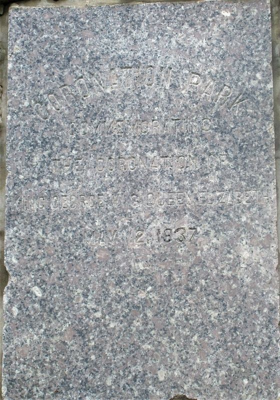
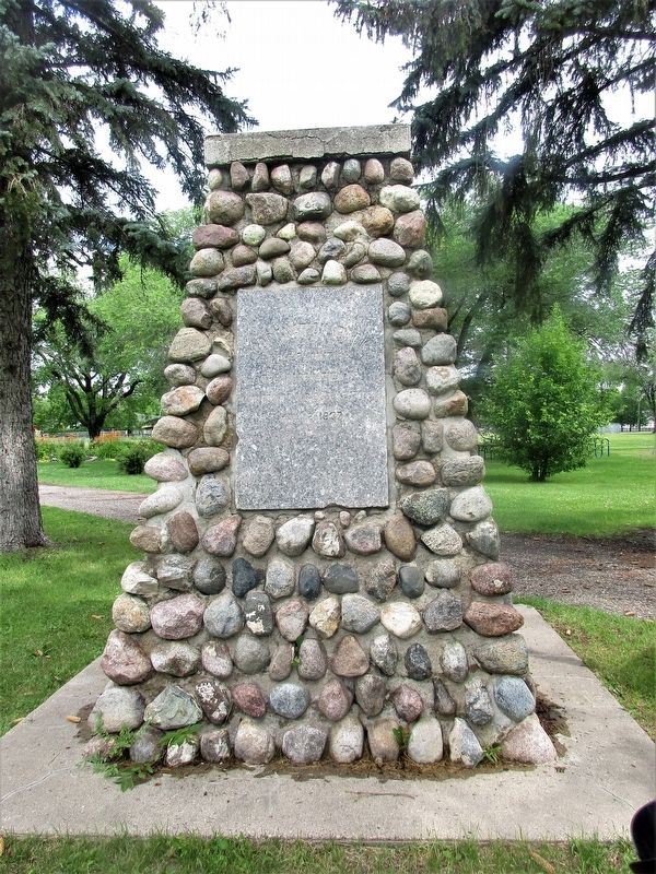
Coronation Park
Topics. This historical marker is listed in this topic list: Notable Events. A significant historical date for this entry is May 12, 1937.
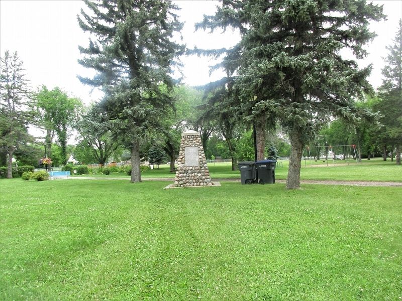
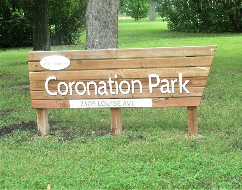
Location. 49° 50.652′ N, 99° 58.177′ W. Marker is in Brandon, Manitoba, in City of Brandon. Marker is at the intersection of Louise Avenue and Louise Ave., on the left when traveling south on Louise Avenue. Marker is in Coronation Park. Touch for map. Marker is at or near this postal address: 2309 Louise Ave, Brandon MB R7B 1X5, Canada. Touch for directions.
Other nearby markers. At least 7 other markers are within 13 kilometers of this marker, measured as the crow flies. Prairie College (approx. half a kilometer away); Brandon College (approx. half a kilometer away); Daly House (approx. 0.7 kilometers away); Thomas Mayne Daly (approx. 0.7 kilometers away); Sir Clifford Sifton (approx. 1.4 kilometers away); Central Fire Station #1 (approx. 1.7 kilometers away); Kemnay Pioneer Memorial (approx. 11.7 kilometers away).
Credits. This page was last revised on September 6, 2022. It was originally submitted on August 24, 2022, by Rev. Ronald Irick of West Liberty, Ohio. This page has been viewed 77 times since then and 14 times this year. Photos: 1, 2, 3, 4. submitted on August 24, 2022, by Rev. Ronald Irick of West Liberty, Ohio. • Bill Pfingsten was the editor who published this page.


