Near Spring Gap in Allegany County, Maryland — The American Northeast (Mid-Atlantic)
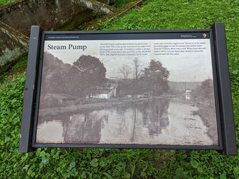
Steam Pump
Chesapeake & Ohio Canal National Historical Park
June 14, 2022
1. Steam Pump Marker
Erected by National Park Service, U.S. Department of the Interior.
Topics. This historical marker is listed in these topic lists: Industry & Commerce • Waterways & Vessels.
Location. 39° 34.333′ N, 78° 43.65′ W. Marker is near Spring Gap, Maryland, in Allegany County. It can be reached from Wheeler Road Southeast. Marker is on the C&O Canal Towpath. Touch for map. Marker is in this post office area: Cumberland MD 21502, United States of America. Touch for directions.

Regionally, this marker is in Western Maryland. It is also in the American
this page online
Other nearby markers. At least 8 other markers are within 5 miles of this marker, measured as the crow flies: Pvt James D. Pollock (approx. 1.9 miles away); Sallie Pollock-Cook-High (approx. 1.9 miles away); Turner Ashby’s Attack (approx. 3 miles away); Fort Sellers (approx. 3.3 miles away in West Virginia); Jane Frazier (approx. 3.7 miles away); Wiley Ford Racing (approx. 4.1 miles away in West Virginia); West Virginia (Mineral County) / Maryland (approx. 4.2 miles away in West Virginia); St. Mary's Centennial Tree (approx. 4.9 miles away).
June 14, 2022
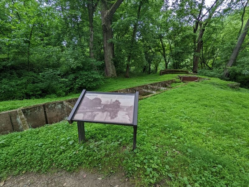
2. Steam Pump Marker
Credits. This page was last revised on September 3, 2022. It was originally submitted on August 26, 2022, by E. Hoo of Ferndale, Michigan. This page has been viewed 575 times since then and 32 times this year. Photos: 1, 2. submitted on August 26, 2022. • Bill Pfingsten was the editor who published this page.
