Schererville in Lake County, Indiana — The American Midwest (Great Lakes)
Lincoln Highway - Ideal Section - 1923
Prototype of construction technology intended to make it the finest road in the world
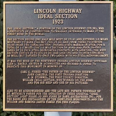
The "Ideal Section," a portion of the Lincoln Highway (US 30), was a prototype of construction technology intended to make it the finest road in the world.
The section begins one half mile west of US 41 and extends 1.3 miles westward to Bank Calumet (820 US 30) and from there to Station 44+20, near the "Ideal Section" Indiana State Marker in Dyer, for a total of 1.5 miles. The 1.3 mile section of road had four 10-foot lanes of 10 inch steel reinforced concrete with lighting. The west section (820 US 30 to 816 US 30) had lighting and 10 inch concrete as well, but tapered to only two lanes with no steel reinforcement. It was the wish of the Northwest Indiana Lincoln Highway officials Glen L, Eberly, Arthur W. Schweitzer and Richard A. Jonas to dedicate this monument in memory of:
Carl G, Fisher "The Father of The Lincoln Highway" • John Carlisle, The First Indiana Director • A. W. Stommel, The First County Director • William (Bill) Gettler, who worked on the road and for his help and use of his pictures
Also to be acknowledged are: The late Rev. Patrick Connolly of St. Michael's Parish for the donation of these original "Ideal Section" light poles, Jo Ann Plank of Hawk Enterprises Inc, for the bases and installation of the light pole monuments, and the William and Ramona Jarvis Family for this plaque.
Erected 2009 by Northwest Indiana Lincoln Highway Officials.
Topics and series. This historical marker is listed in these topic lists: Charity & Public Work • Industry & Commerce • Roads & Vehicles. In addition, it is included in the Lincoln Highway series list. A significant historical year for this entry is 1923.
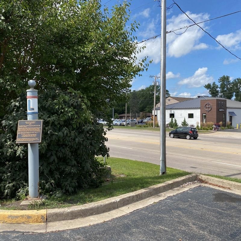
Location. 41° 29.44′ N, 87° 28.829′ W. Marker is in Schererville, Indiana, in Lake County. Marker is at the intersection of Joliet Street (U.S. 30) and Caroline Avenue, on the right when traveling east on Joliet Street. Marker is in the southwest corner of the parking lot. Touch for map. Marker is at or near this postal address: 1207 Joliet St, Schererville IN 46375, United States of America. Touch for directions.
Other nearby markers. At least 8 other markers are within 4 miles of this marker, measured as the crow flies. The Lincoln Highway / The "Ideal Section" (within shouting distance of this marker); St. John Township School District #2 (approx. 0.4 miles away); The Lincoln Highway (approx. 0.7 miles away); a different marker also named The Lincoln Highway (approx. 0.9 miles away); The Ideal Section Of The Lincoln Highway (approx. 0.9 miles away); Sauk (Sak) Trail (approx. 0.9 miles away); a different marker also named The Lincoln Highway / The "Ideal Section" (approx. 1˝ miles away); Griffith's Grand Trunk Depot Museum (approx. 3.4 miles away). Touch for a list and map of all markers in Schererville.
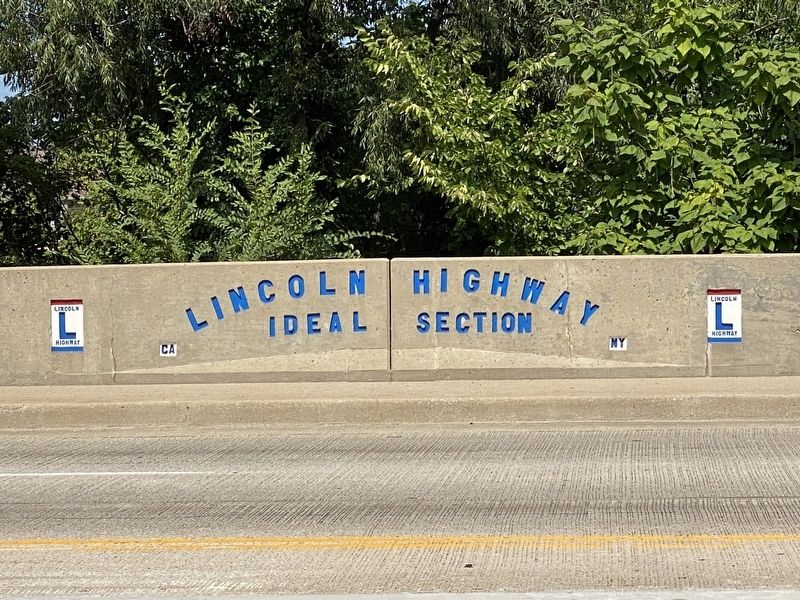
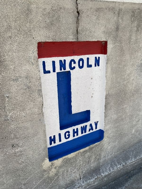
Regarding Lincoln Highway - Ideal Section - 1923. In other words, the "Ideal Section" runs for a large portion of the two miles between Calumet Ave. (in Dyer) and Indianapolis Blvd. (in Schererville). This marker is one of four markers on the "Ideal Section" along with two decorated "Lincoln Highway Bridges" over Dyer Ditch and Plum Creek.
Also see . . . Lincoln Highway Association. Website of the National association with links to State chapters.
The Lincoln Highway was the first transcontinental road for automobiles in the United States, dedicated in 1913. It winds its way over 3,000 miles between New York City and San Francisco.(Submitted on August 28, 2022, by Lou Donkle of Valparaiso, Indiana.)
Credits. This page was last revised on December 29, 2022. It was originally submitted on August 27, 2022, by Lou Donkle of Valparaiso, Indiana. This page has been viewed 147 times since then and 24 times this year. Last updated on December 29, 2022, by Lou Donkle of Valparaiso, Indiana. Photos: 1, 2, 3, 4. submitted on August 27, 2022, by Lou Donkle of Valparaiso, Indiana. • Devry Becker Jones was the editor who published this page.


