Near Grasonville in Queen Anne's County, Maryland — The American Northeast (Mid-Atlantic)
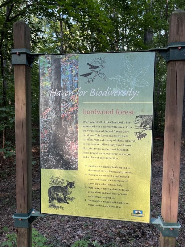
Haven for Biodiversity: hardwood forest

Photographed By Devry Becker Jones (CC0), August 27, 2022
1. Haven for Biodiversity: hardwood forest Marker
Once, almost all of the Chesapeake Bay watershed was covered with forest. Over the years, most of the old forests were cut down. This forest has grown back naturally, with a diversity of plants adapted to this location. Mixed hardwood forests like this provide a species-rich habitat, clean air and water, economic resources, and a place of quiet reflection.
✤ Hawks and migrating birds depend on the canopy of oak, beech and sycamore.
✤ Possums and resident songbirds find cover and food in the understory of sweet gum, viburnum and holly.
✤ Wild turkeys, foxes and turtles forage in the shrub and herb layer of ferns, catbriars and mayapples.
✤ Salamanders, mosses and mushrooms thrive on the moist forest floor.
Erected by Chesapeake Bay Gateways Network.
Topics. This historical marker is listed in these topic lists: Environment • Horticulture & Forestry • Industry & Commerce.
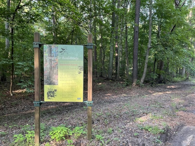
Location. 38° 57.06′ N, 76° 12.887′ W. Marker is near Grasonville, Maryland, in Queen Anne's County. Marker is on Discovery Lane, 0.1 miles west of Perrys Corner Road, on the left when traveling west. Touch for map. Marker is in this post office area: Grasonville MD 21638, United States of America. Touch for directions.
Other nearby markers. At least 8 other markers are within 2 miles of this marker, measured as the crow flies. Forest Values for the Bay: loblolly pine plantation (approx. 0.2 miles away); Island in the Marsh: a hummock (approx. 0.8 miles away); Veterans Memorial (approx. one mile away); Road to Battle (approx. 1˝ miles away); Working the Waters (approx. 1.9 miles away); Crossing Point (approx. 2 miles away); Lure of Freedom (approx. 2 miles away); The Men Who Stood and Fought at Slippery Hill (approx. 2 miles away). Touch for a list and map of all markers in Grasonville.
Additional commentary.
1. About the marker
This marker qualifies for the database because it shares, albeit somewhat abstractly, about the history of human industry and its consequences on the environment, both positive and negative.
— Submitted August 28, 2022, by Devry Becker Jones of Washington, District of Columbia.

Photographed By Devry Becker Jones (CC0), August 27, 2022
2. Haven for Biodiversity: hardwood forest Marker
Credits. This page was last revised on August 28, 2022. It was originally submitted on August 28, 2022, by Devry Becker Jones of Washington, District of Columbia. This page has been viewed 55 times since then and 3 times this year. Photos: 1, 2. submitted on August 28, 2022, by Devry Becker Jones of Washington, District of Columbia.