Minisink in Sullivan County, New York — The American Northeast (Mid-Atlantic)
Battle of Minisink
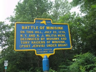
Photographed by Bill Coughlin, July 3, 2009
1. Battle of Minisink Marker
N. Y. and N. J. Militia were
decimated by Mohawks and
Tory raiders of Minisink,
(Port Jervis) under Brant.
Erected 1936 by New York State Education Department.
Topics. This historical marker is listed in these topic lists: Indigenous Peoples and Communities • War, US Revolutionary. A significant historical month for this entry is July 1779.
Location. 41° 28.941′ N, 74° 58.957′ W. Marker is in Minisink, New York, in Sullivan County. It is at the intersection of New York State Route 97 and Minisink Battle Ground Road, on the left when traveling north on New York State Route 97. Touch for map. Marker is in this post office area: Eldred NY 12732, United States of America. Touch for directions.

Regionally, this marker is in Upstate New York and in the Hudson Valley. It is also in the American Northeast, in the Mid-Atlantic, in Appalachia, and specifically in Northern Appalachia. Globally, it is in North America, the Western Hemisphere, the Western World, and the Anglosphere. Historically, it finds itself in what was once New Netherland and also one of the original Thirteen Colonies.
this page online
Other nearby markers. At least 8 other markers are within walking distance of this marker: A different marker also named Battle of Minisink (within shouting distance of this marker); Bridge (about 300 feet away, measured in a direct line); Life Along the Canal (about 300 feet away); Roebling’s Cable (about 300 feet away); Delaware & Hudson Canal (about 400 feet away); Roebling’s Delaware Aqueduct (about 400 feet away); Conflicts with Timber Rafts (about 700 feet away in Pennsylvania); a different marker also named Roebling's Delaware Aqueduct (about 800 feet away in Pennsylvania). Touch for a list and map of all markers in Minisink.
Related markers. Click here for a list of markers that are related to this marker. Markers that follow the July 1779 raid made by Joseph Brant’s Mohawks and Tories and the subsequent Battle of Minisink.
Also see . . .
1. The Battle of Minisink. The American Revolutionary War website. (Submitted on July 3, 2009, by Bill Coughlin of Woodland Park, New Jersey.)
2. The Battle at Minisink Ford. Minisink Valley Historical Society website. (Submitted on July 3, 2009, by Bill Coughlin of Woodland Park, New Jersey.)
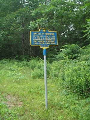
Photographed by Bill Coughlin, July 3, 2009
2. Battle of Minisink Marker
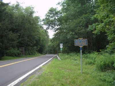
Photographed by Bill Coughlin, July 3, 2009
3. Marker on the Delaware River
The hill where the July 22, 1779 battle took place is located north of the marker, to the left in the photo.
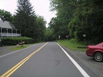
Photographed by Bill Coughlin, July 3, 2009
4. Battle of Minisink Marker
Credits. This page was last revised on June 16, 2016. It was originally submitted on July 3, 2009, by Bill Coughlin of Woodland Park, New Jersey. This page has been viewed 1,165 times since then and 31 times this year. Photos: 1, 2, 3, 4. submitted on July 3, 2009, by Bill Coughlin of Woodland Park, New Jersey.
