Cheriton in Northampton County, Virginia — The American South (Mid-Atlantic)
Town Fields
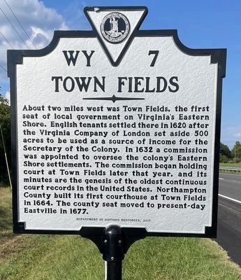
Photographed by Brandon D Cross, August 27, 2022
1. Town Fields Marker
Erected 2017 by Department of Historic Resources. (Marker Number WY-7.)
Topics. This historical marker is listed in these topic lists: Colonial Era • Settlements & Settlers. A significant historical year for this entry is 1620.
Location. 37° 17.68′ N, 75° 58.372′ W. Marker is in Cheriton, Virginia, in Northampton County. It is on Langford Highway (U.S. 13) north of Sams Road, on the right when traveling south. Touch for map. Marker is in this post office area: Cape Charles VA 23310, United
this page online

Regionally, this marker is on the Eastern Shore. It is also in the American South, specifically in the Upper South, on the Delmarva Peninsula, in the Tidewater, and on the Eastern Seaboard. Globally, it is in the North Atlantic Region, North America, the Western Hemisphere, the Western World, and the Anglosphere. Historically, it finds itself in what was once the territory of the Mississippian Culture, one of the original Thirteen Colonies, one of the Confederate States of America, and the Antebellum South.
Other nearby markers. At least 8 other markers are within 3 miles of this marker, measured as the crow flies: Stratton Manor (approx. 1.2 miles away); Salem Methodist Church (approx. 1.2 miles away); Eyre Hall (approx. 1.2 miles away); Site of Tidewater Institute (approx. 1.6 miles away); Cape Charles (approx. 2.7 miles away); The Jetty House (approx. 2.7 miles away); Bloxom Passenger Station (approx. 2.7 miles away); Highball (approx. 2.7 miles away). Touch for a list and map of all markers in Cheriton.
Another marker is no longer nearby. Towne Fields (was a few steps
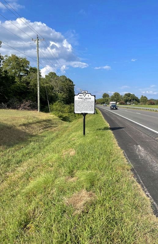
Photographed by Brandon D Cross, August 27, 2022
2. Town Fields Marker
Related marker. Click here for another marker that is related to this marker. Old Marker At This Location titled “Towne Fields".
Credits. This page was last revised on August 29, 2022. It was originally submitted on August 28, 2022, by Brandon D Cross of Flagler Beach, Florida. This page has been viewed 937 times since then and 110 times this year. Photos: 1, 2. submitted on August 28, 2022, by Brandon D Cross of Flagler Beach, Florida. • Bernard Fisher was the editor who published this page.
