
Fairmont in Martin County, Minnesota — The American Midwest (Upper Plains)
Pioneer Memorial Drive
⎯⎯⎯
Fairmont
July 30, 2022
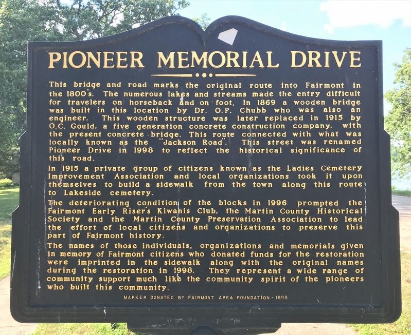
1. Pioneer Memorial Drive Marker
In 1915 a private group of citizens known as the Ladies Cemetery Improvement Association and local organizations took it upon themselves to build a sidewalk from the town along this route to Lakeside cemetery. The deteriorating condition of the blocks in 1996 prompted the Fairmont Early Riser's Kiwanis Club, the Martin County Historical Society and the Martin County Preservation Association to lead the effort of local citizens and organizations to preserve this part of Fairmont history.
The names of those individuals,
this page online
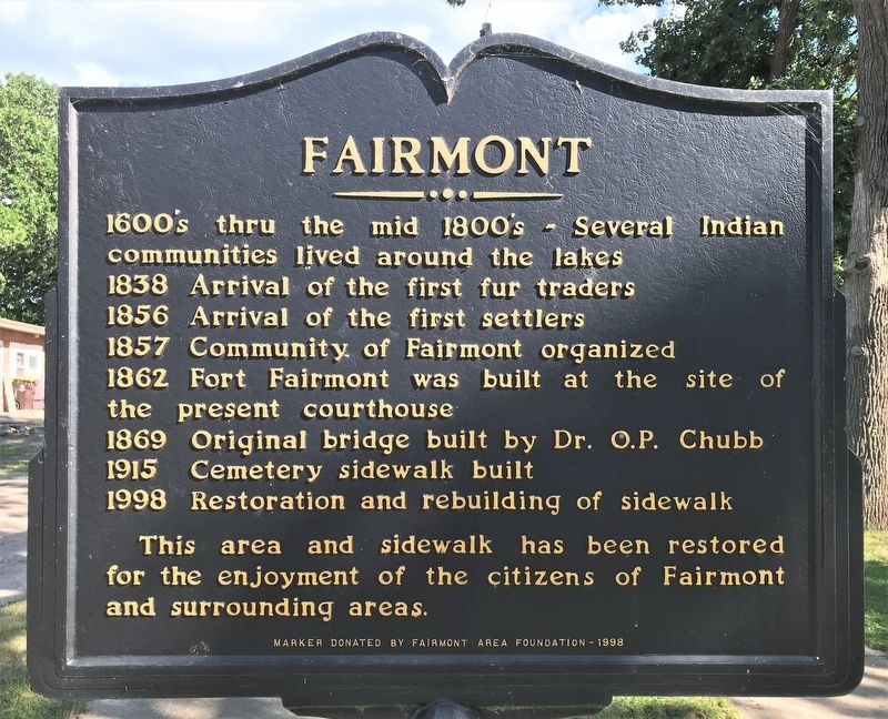
1838 Arrival of the first fur traders
1856 Arrival of the first settlers
1857 Community of Fairmont organized
1862 Fort Fairmont was built at the site of the present courthouse
1869 Original bridge built by Dr. O.P. Chubb
1915 Cemetery sidewalk built
1998 Restoration and rebuilding of sidewalk
This area and sidewalk has been restored for the enjoyment of the citizens of Fairmont and surrounding areas.
Erected 1998 by Fairmont Area Foundation.
Topics. This historical marker is listed in these topic lists: Bridges & Viaducts • Forts and Castles • Roads & Vehicles • Settlements & Settlers. A significant historical year for this entry is 1869.
Location. 43° 39.522′ N, 94° 28.121′ W. Marker is
July 30, 2022
2. Fairmont Marker

Regionally, this marker is in Southwest Minnesota. It is also in the American Midwest and in the Corn Belt. Globally, it is in North America, the Western Hemisphere, the Western World, and the Anglosphere. Historically, it finds itself in what was once Rupert’s Land, the territory of the Mississippian Culture, and the Louisiana Purchase.
Other nearby markers. At least 8 other markers are within 9 miles of this marker, measured as the crow flies: Site of the Singing Oak (approx. ¼ mile away); The Legend of the Singing Sisseton Oak (approx. ¼ mile away); Chubb House / Dr. O. P. Chubb (approx. 0.4 miles away); Fort Fairmount (approx. 0.4 miles away); a different marker also named Fort Fairmount (approx. 0.4 miles away); St. Paul's United Church of Christ (approx. 7.2 miles away); North Star (approx. 8.6 miles away); Manyaska (approx. 8.8 miles away). Touch for a list and map
July 30, 2022
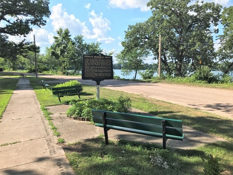
3. Pioneer Memorial Drive / Fairmont Marker
July 30, 2022
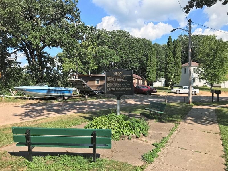
4. Fairmont / Pioneer Memorial Drive Marker
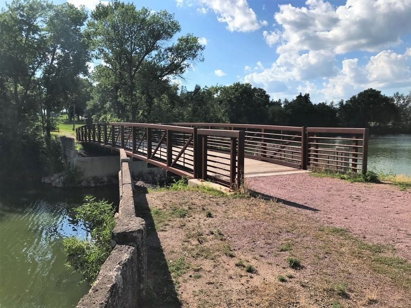
July 30, 2022
5. Pioneer Drive Bridge
Credits. This page was last revised on August 31, 2022. It was originally submitted on August 31, 2022. This page has been viewed 329 times since then and 56 times this year. Photos: 1, 2, 3, 4, 5. submitted on August 31, 2022.
