Near Blue Diamond in Clark County, Nevada — The American Mountains (Southwest)
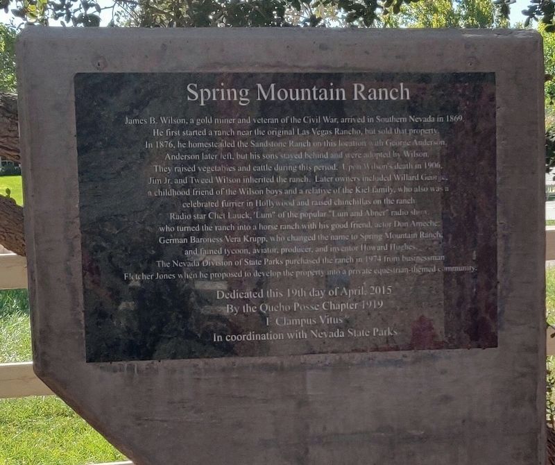
Spring Mountain Ranch
Photographed by Melissa H Spease, August 30, 2022
1. Spring Mountain Ranch Marker
Erected 2015
this page online
Topics. This historical marker is listed in these topic lists: Agriculture • Animals • Entertainment • Settlements & Settlers. A significant historical year for this entry is 1869.
Location. 36° 4.185′ N, 115° 27.525′ W. Marker is near Blue Diamond, Nevada, in Clark County. It can be reached from Charleston Boulevard (Nevada Route 159). This park has an entrance fee, the marker is just off the parking lot within the park. Touch for map. Marker is at or near this postal address: 6375 Hwy 159, Las Vegas NV 89161, United States of America. Touch for directions.

Regionally, this marker is in the Mojave Desert and in Greater Las Vegas. It is also in the American Southwest and in the Mountain West. Globally, it is in North America, the Western Hemisphere, the Western World, and the Anglosphere. Historically, it finds itself in what was once New Spain and also Mexico’s Alta California.
Other nearby markers. At least 8 other markers are within 12 miles of this marker, measured as the crow flies: The Old Spanish Trail (approx. 3.3 miles away); a different marker also named The Old Spanish Trail
Photographed by Melissa H Spease, August 30, 2022
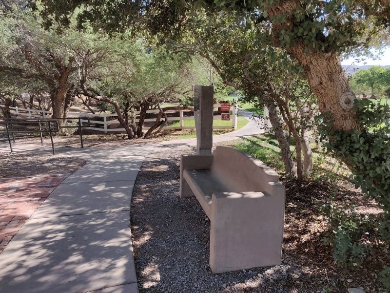
2. Spring Mountain Ranch Marker
Photographed by Melissa H Spease, August 30/2022B
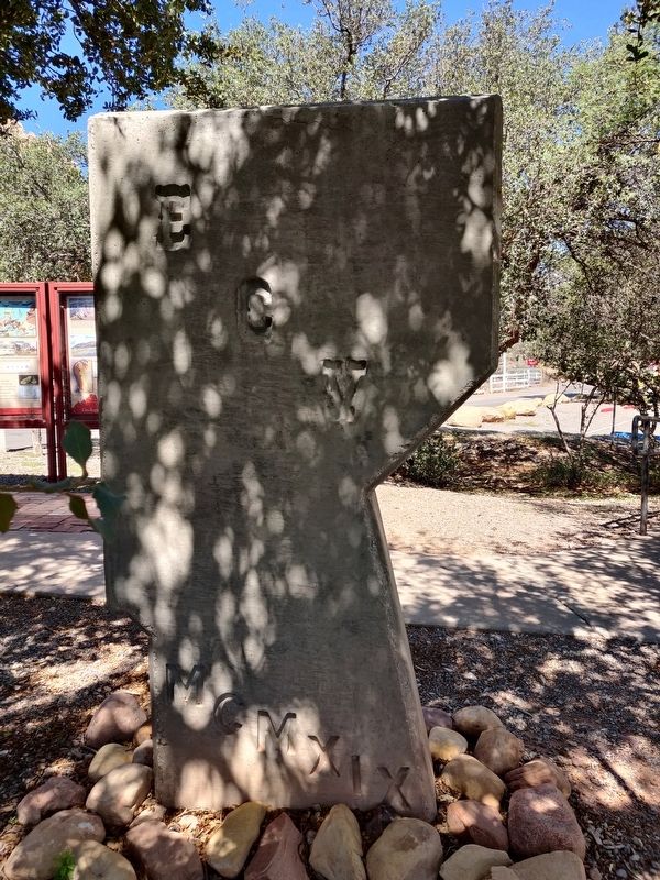
3. Spring Mountain Ranch Marker
Back side of the marker.
Photographed by Melissa H Spease, August 30, 2022
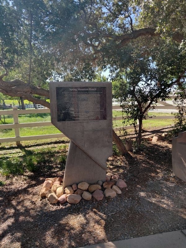
4. Spring Mountain Ranch Marker
Credits. This page was last revised on September 21, 2022. It was originally submitted on September 1, 2022, by Melissa H Spease of Las Vegas, Nevada. This page has been viewed 785 times since then and 70 times this year. Photos: 1, 2, 3, 4. submitted on September 1, 2022, by Melissa H Spease of Las Vegas, Nevada. • Bill Pfingsten was the editor who published this page.
