Near Iuka in Tishomingo County, Mississippi — The American South (East South Central)
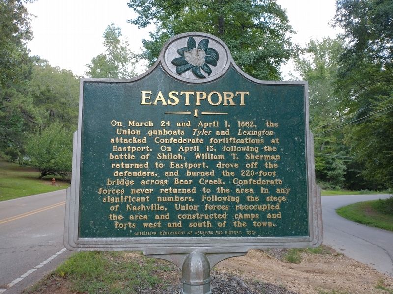
Eastport
Erected 2009 by Mississippi Department of Archives and History.
Topics and series. This historical marker is listed in this topic list: War, US Civil. In addition, it is included in the Mississippi State Historical Marker Program series list. A significant historical date for this entry is March 24, 1862.
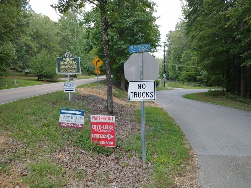
Location. 34° 52.959′ N, 88° 6.786′ W. Marker is near Iuka, Mississippi, in Tishomingo County. Marker is at the intersection of Eastport Road (County Highway 956) and County Highway 262, on the right when traveling east on Eastport Road. Touch for map. Marker is in this post office area: Iuka MS 38852, United States of America. Touch for directions.
Other nearby markers. At least 8 other markers are within 7 miles of this marker, measured as the crow flies. Trail of Tears (approx. 3.4 miles away in Alabama); Edith Newman Culver (approx. 3˝ miles away in Alabama); Waterloo (approx. 3.8 miles away in Alabama); Mud Glorious Mud (approx. 5.3 miles away in Alabama); A Gathering of Eagles (approx. 5.3 miles away in Alabama); a different marker also named Eastport (approx. 6.3 miles away); Church of Our Saviour (approx. 6˝ miles away); Iuka Methodist Church (approx. 6˝ miles away). Touch for a list and map of all markers in Iuka.
Credits. This page was last revised on September 3, 2022. It was originally submitted on September 3, 2022, by Tom Bosse of Jefferson City, Tennessee. This page has been viewed 315 times since then and 64 times this year. Photos: 1, 2. submitted on September 3, 2022, by Tom Bosse of Jefferson City, Tennessee. • Bernard Fisher was the editor who published this page.

