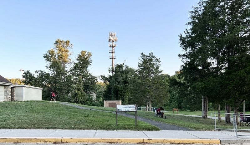
Annandale in Fairfax County, Virginia — The American South (Mid-Atlantic)
Mason's Hill
Strategic Location
Confederate Col. J.E.B. Stuart and his men occupied Munson's Hill soon after the First Battle of Manassas, July 21, 1861 until September 21 of that year. It was the closest Confederate position to Washington, D.C., and from the White House, President Abraham Lincoln could see a Confederate flag flying there. Stuart's men used logs to build imitation cannons known as "Quaker Cannons" to mislead the Union Army and present an illusion of Confederate artillery strength, the first use of this tactic in the war.
Stuart also had an outpost at Mason's Hill, where Col. Edward P. Alexander built a signal corps observation tower with a six-foot "astronomical glass" to observe Washington. Confederate spy E. Pliny Bryan had planned to signal messages to the tower from his Washington rooming-house window, but the Confederates abandoned Mason's Hill before this scheme could be implemented. The Union soon occupied this area.
In the nearby fields between Munson's Hill and Bailey's Crossroads, Union Gen. George B. McClellan staged a military review on Nov. 20, 1861 to boost the morale of the army that was demoralized after its defeat at Manassas. Lincoln, his cabinet, and thousands of spectators attended. Observers were greatly impressed by the 65,000 well-trained and well-equipped soldiers whom McClellan, the new commander, had transformed into the Army of the Potomac.
(captions)
Quaker gun battery, 1861
Panoramic view of the village of Falls Church, Mason's Hill, and the surrounding country. From Frank Leslie's Illustrated Newspaper, October 26, 1861.
Gen. J.E.B. Stuart
Abraham Lincoln
Images courtesy of the Library of Congress and the Virginia Room, City of Fairfax Regional Library.
Erected 2022 by Fairfax County Park Authority.
Topics. This historical marker is listed in these topic lists: Forts and Castles • War, US Civil. A significant historical date for this entry is July 21, 1861.
Location. 38° 50.118′ N, 77° 10.394′ W. Marker is in Annandale, Virginia, in Fairfax County. Marker can be reached from Columbia Pike (Virginia Route 244) east of Oak Hill Drive, on the right when traveling north. Marker is located south of the main parking lot in Mason District Park. Touch for map. Marker is at or near this postal address: 6621 Columbia Pike, Annandale VA 22003, United States of America. Touch for directions.
Other nearby markers. At least 8 other markers are within 3 miles of this marker, measured as the crow flies. A different marker also named Mason’s Hill (approx. 0.6 miles away); Action At Annandale (approx. 0.8 miles away); Mount Pleasant Baptist Church (approx. 0.8 miles away); Historic Green Spring (approx. one mile away); The Cannon (approx. 1.2 miles away); Little River Turnpike (approx. 1.3 miles away); Price’s Ordinary (approx. 1.8 miles away); Mosby Attacks Annandale (approx. 2.1 miles away). Touch for a list and map of all markers in Annandale.
Also see . . . New Civil War Marker Installed in Mason District Park. Article describes the original Virginia Civil War Trails marker erected at Mason District Park, which was replaced by the current Farifax County Park Authority Marker. (Submitted on September 4, 2022, by Shane Oliver of Richmond, Virginia.)
Credits. This page was last revised on September 5, 2022. It was originally submitted on September 4, 2022, by Shane Oliver of Richmond, Virginia. This page has been viewed 351 times since then and 67 times this year. Photos: 1, 2. submitted on September 4, 2022, by Shane Oliver of Richmond, Virginia. • Bernard Fisher was the editor who published this page.

