Near Brooklyn in Lenawee County, Michigan — The American Midwest (Great Lakes)
At the Crossroads
Cambridge Junction and the Walker Taverns
Inscription.
Travelers or neighbors, all were welcome here.
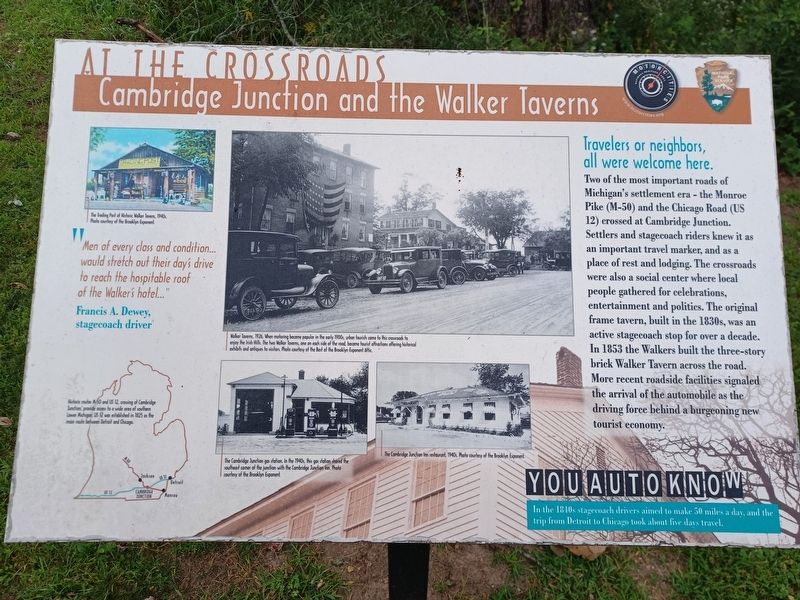
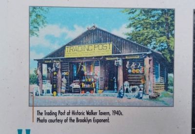
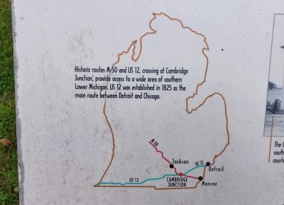
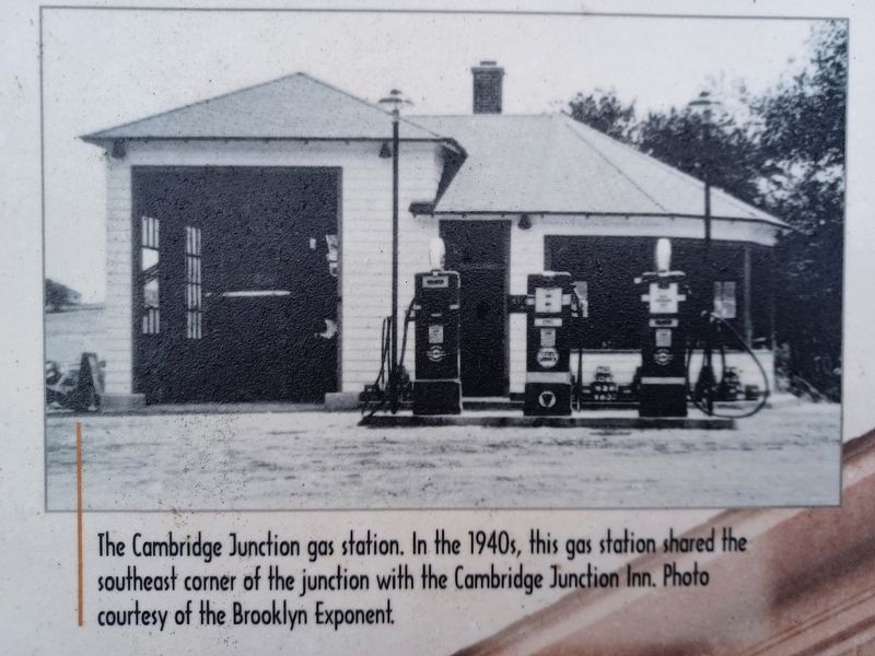
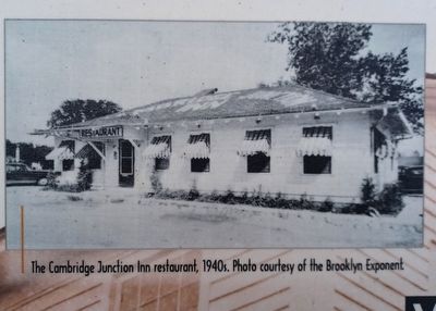
Two of the most important roads of Michigan's settlement era - the Monroe Pike (M-50) and the Chicago Road (US 12) crossed at Cambridge Junction. Settlers and stagecoach riders knew it as an important travel marker, and as a place of rest and lodging. The crossroads were also a social center where local people gathered for celebrations, entertainment and politics. The original frame tavern, built in the 1930s, was an active stagecoach stop for over a decade. In 1853 the Walkers built the three-story brick Walker Tavern across the road. More recent roadside facilities signaled the arrival of the automobile as the driving force behind a burgeoning new tourist economy.
"Men of every class and condition...would stretch out their day's drive to reach the hospitable roof of the Walker's hotel..."
Francis A. Dewey, stagecoach driver
You Auto Know
In the 1840s stagecoach drivers aimed to make 50 miles a day, and the trip from Detroit to Chicago took about five days travel.
Erected by MotorCities National Heritage Area, National Park Service.
Topics and series. This historical marker is listed in these topic lists: Industry & Commerce • Roads & Vehicles • Settlements & Settlers. In addition, it is included in the MotorCities National Heritage Area series list. A significant historical year for this entry is 1853.
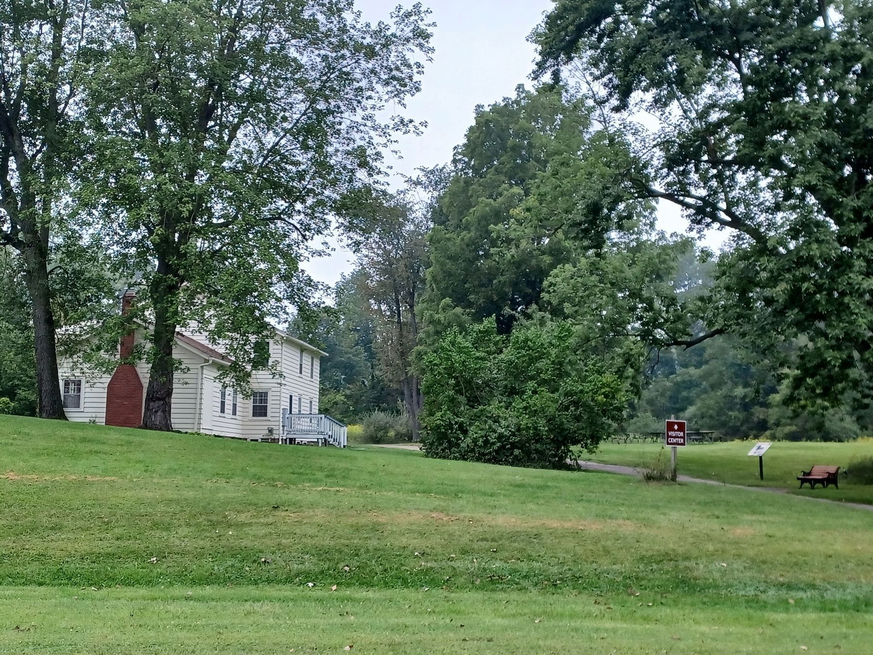
Location. 42° 3.612′ N, 84° 13.458′ W. Marker is near Brooklyn, Michigan, in Lenawee County. Marker can be reached from State Highway 50 north of U.S. 12. Marker is in Cambridge Junction Historic State Park and can be seen from the parking lot along the path leading to the Hewitt House Visitor Center. Touch for map. Marker is at or near this postal address: 13220 M-50, Brooklyn MI 49230, United States of America. Touch for directions.
Other nearby markers. At least 8 other markers are within 3 miles of this marker, measured as the crow flies. Cambridge Junction Historic State Park (within shouting distance of this marker); Walker Tavern (about 700 feet away, measured in a direct line); a different marker also named The Walker Tavern (about 800 feet away); Cambridge Junction (approx. 0.2 miles away); St. Michael and All Angels Church (approx. 0.4 miles away); Michigan International Speedway: (approx. 0.8 miles away); An Gorta Mor (approx. 2.9 miles away); a different marker also named An Gorta Mor (approx. 3 miles away). Touch for a list and map of all markers in Brooklyn.
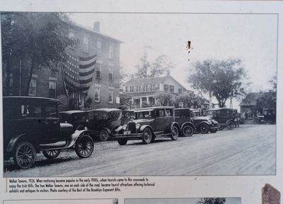
Photo courtesy of the Best of the Brooklyn Exponent Attic.
4. At the Crossroads: Cambridge Junction and the Walker Taverns Marker top middle image
Walker Taverns, 1926. When motoring became popular in the early 1900s, urban tourists came to this crossroads to enjoy the Irish Hills. The two Walker Taverns, one on each side of the road, became tourist attractions offering historical exhibits and antiques to visitors.
Credits. This page was last revised on June 21, 2023. It was originally submitted on September 5, 2022, by Joel Seewald of Madison Heights, Michigan. This page has been viewed 98 times since then and 6 times this year. Photos: 1, 2, 3, 4, 5, 6, 7. submitted on September 5, 2022, by Joel Seewald of Madison Heights, Michigan.
