
Algoma in Kewaunee County, Wisconsin — The American Midwest (Great Lakes)
LaSalle Landing
The Most Illustrious Son of Normandy
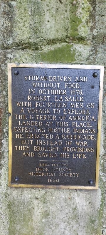
Photographed by Daniel E Hunt, September 5, 2022
1. LaSalle Landing Marker
Storm driven and without food, in October 1679, Robert LaSalle, with fourteen men, on a voyage to explore the interior of America, landed at this place. Expecting hostile Indians he erected a barricade. But instead of war they brought provisions and saved his life.
Erected 1930 by Door County Historical Society.
Topics. This historical marker is listed in these topic lists: Exploration • Indigenous Peoples and Communities. A significant historical month for this entry is October 1679.
Location. 44° 41.435′ N, 87° 21.856′ W. Marker is in Algoma, Wisconsin, in Kewaunee County. It can be reached from County Highway U. On Highway U, approximately 0.45 miles south of the intersection of County Highways U and J. The marker is made of limestone or cement and is at the SE corner of a clearing that is just south of a gravel parking lot. Touch for map. Marker is at or near this postal address: 408 County Trunk Highway U, Algoma WI 54201, United States of America. Touch for directions.

Regionally, this marker is on Wisconsin’s Door Peninsula. It is also in the American Midwest and in the Corn Belt. Globally, it is in North America, on the Great Lakes, in the Western Hemisphere, in the Western World, and in the Anglosphere. Historically, it finds itself in what was once the territory of the Mississippian Culture and also the Northwest Territory.
Other nearby markers. At least 8 other markers are within 8 miles of this marker, measured as the crow flies: Schooner Daniel Lyons (approx. 6.6 miles away); Christmas Tree Ship Point (approx. 6.6 miles away); Officer Ronald L. Leist (approx. 6.6 miles away); The Lumber Industry in Algoma (approx. 6.7 miles away); American Legion Park (approx. 6.8 miles away); Door-Kewaunee County College / Henry Diefenbach Sculptures (approx. 6.9 miles away); The Church of St. Agnes-by-the-Lake
this page online
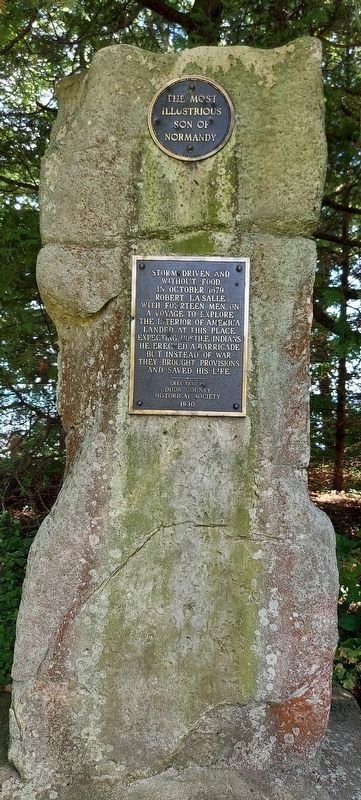
Photographed by Daniel E Hunt, September 5, 2022
2. LaSalle Landing Marker
Credits. This page was last revised on September 7, 2022. It was originally submitted on September 5, 2022, by Daniel E Hunt of Fond du Lac, Wisconsin. This page has been viewed 270 times since then and 26 times this year. Photos: 1, 2. submitted on September 5, 2022, by Daniel E Hunt of Fond du Lac, Wisconsin. • J. Makali Bruton was the editor who published this page.
