Near Africa in Delaware County, Ohio — The American Midwest (Great Lakes)
Africa Community
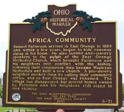
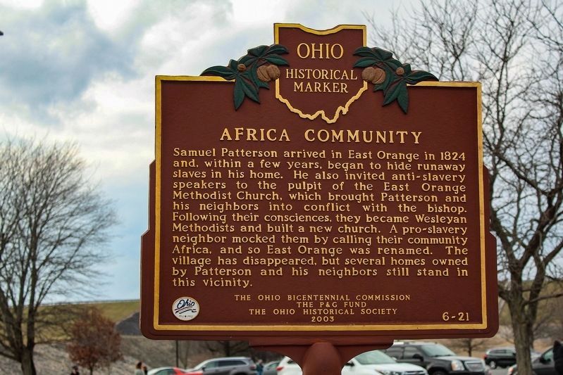
Samuel Patterson arrived in East Orange in 1824 and, within a few years, began to hide runaway slaves in his home. He also invited anti-slavery speakers to the pulpit of the East Orange Methodist Church, which brought Patterson and his neighbors into conflict with the bishop. Following their consciences, they became Wesleyan Methodists and built a new church. A pro-slavery neighbor mocked them by calling their community Africa, and so East Orange was renamed. The village has disappeared, but several homes owned by Patterson and his neighbors still stand in this vicinity.
Reverse:
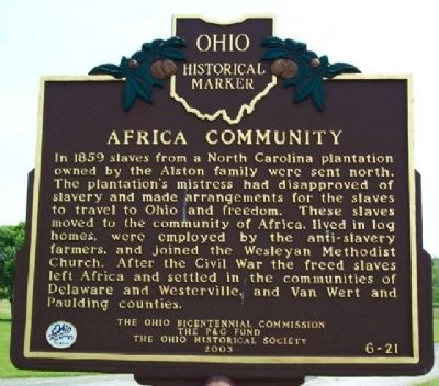
In 1859 slaves from a North Carolina plantation owned by the Alston family were sent north. The plantation's mistress had disapproved of slavery and made arrangements for the slaves to travel to Ohio and freedom. These slaves moved to the community of Africa, lived in log homes, were employed by the anti-slavery farmers, and joined the Wesleyan Methodist Church. After the Civil War the freed slaves left Africa and settled in the communities of Delaware and Westerville, and Van Wert and Paulding counties.
Erected 2003 by The Ohio Bicentennial Commission, The P & G Fund, and The Ohio Historical Society. (Marker Number 6-21.)
Topics and series. This historical marker is listed in these topic lists: Abolition & Underground RR • African Americans • Churches & Religion • Settlements & Settlers. In addition, it is included in the Ohio Historical Society / The Ohio History Connection series list. A significant historical year for this entry is 1824.
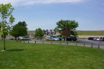
Location. 40° 11.066′ N, 82° 57.763′ W. Marker is near Africa, Ohio, in Delaware County. Marker is in the picnic area, about 1000 feet southeast of the dam spillway, in Alum Creek State Park. The picnic area is off Lewis Center Road, between Bale Kenyon and Africa Roads. Touch for map. Marker is in this post office area: Lewis Center OH 43035, United States of America. Touch for directions.
Other nearby markers. At least 8 other markers are within 4 miles of this marker, measured as the crow flies. First Jain Temple in Central Ohio / History of Jainism in Ohio (approx. 1˝ miles away); Sharp Family Homes (approx. 3.1 miles away); James Kilbourne / Anson Williams (approx. 3.2 miles away); The Gooding House and Tavern / Rural Taverns in Early Ohio History (approx. 3.3 miles away); Kingwood Memorial Park Veterans Memorial (approx. 3.3 miles away); The Four Chaplains (approx. 3.3 miles away); The Alkire House (approx. 3.9 miles away); Former Site of Berlin School (approx. 4 miles away).
Credits. This page was last revised on May 13, 2023. It was originally submitted on July 4, 2009, by William Fischer, Jr. of Scranton, Pennsylvania. This page has been viewed 2,746 times since then and 174 times this year. Photos: 1, 2. submitted on July 4, 2009, by William Fischer, Jr. of Scranton, Pennsylvania. 3. submitted on May 13, 2023, by Alex Krempasky of Obetz, Ohio. 4. submitted on July 4, 2009, by William Fischer, Jr. of Scranton, Pennsylvania. • Kevin W. was the editor who published this page.
Editor’s want-list for this marker. An updated close up photo of the marker's reverse. • Can you help?


