Kingston Springs in Cheatham County, Tennessee — The American South (East South Central)
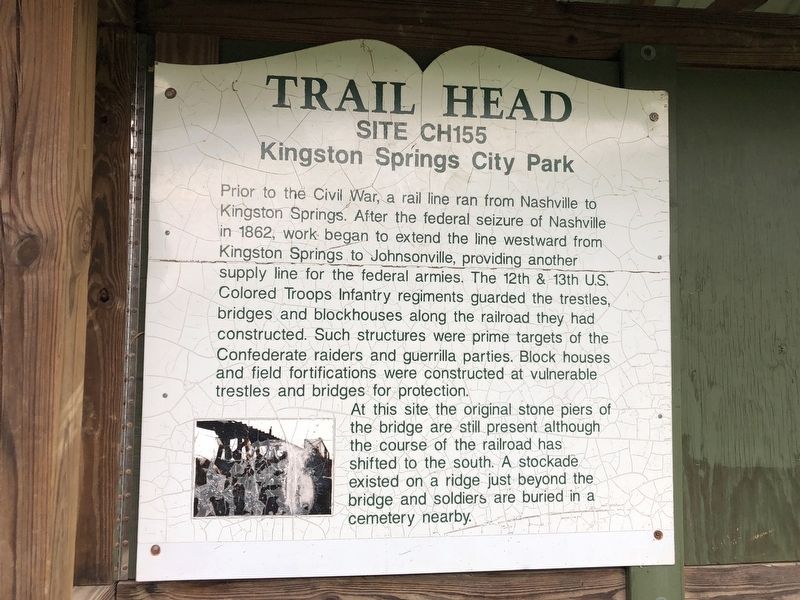
Trail Head
Site CH155
— Kingston Springs City Park —
At this site the original stone piers of the bridge are still present although the course of the railroad has shifted to the south. A stockade existed on a ridge just beyond the bridge and soldiers are buried in a cemetery nearby.
Topics. This historical marker is listed in these topic lists: African Americans • Bridges & Viaducts • Railroads & Streetcars • War, US Civil. A significant historical year for this entry is 1862.
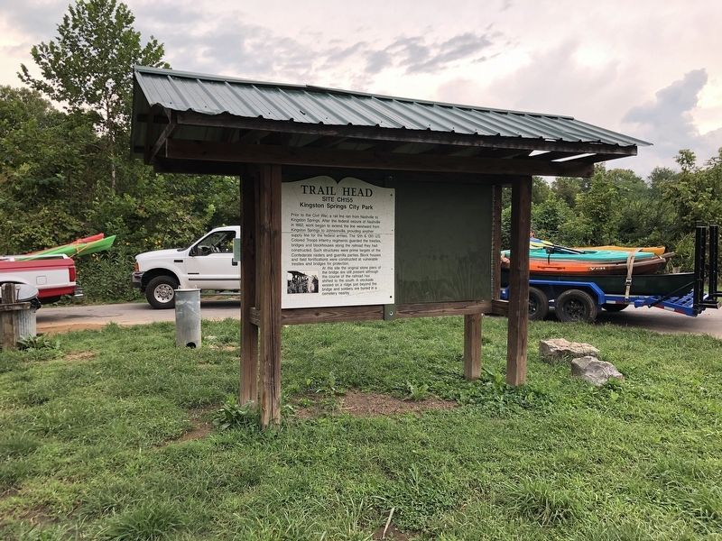
Location. 36° 6.064′ N, 87° 6.393′ W. Marker is in Kingston Springs, Tennessee, in Cheatham County. Marker is on Kingston Springs, 0.1 miles west of Park Street (County Road 1931), on the right when traveling west. Marker is at the Burns Park canoe/kayak launch on the east side of the Harpeth River. Touch for map. Marker is in this post office area: Kingston Springs TN 37082, United States of America. Touch for directions.
Other nearby markers. At least 8 other markers are within 7 miles of this marker, measured as the crow flies. Connection To Johnsonville (approx. half a mile away); Patterson Forge (approx. 1.6 miles away); Mound Bottom (approx. 2˝ miles away); South Cheatham County Veterans Monument (approx. 3.1 miles away); Marine War Memorial (approx. 4˝ miles away); Newsom’s Mill State Historic Area (approx. 6.3 miles away); The Civil War in White Bluffs (approx. 6.6 miles away); Newsom's Mill (approx. 6.7 miles away). Touch for a list and map of all markers in Kingston Springs.
Credits. This page was last revised on September 5, 2022. It was originally submitted on September 5, 2022, by Duane and Tracy Marsteller of Murfreesboro, Tennessee. This page has been viewed 114 times since then and 15 times this year. Photos: 1, 2. submitted on September 5, 2022, by Duane and Tracy Marsteller of Murfreesboro, Tennessee.

