Downtown in Campbell in Santa Clara County, California — The American West (Pacific Coastal)
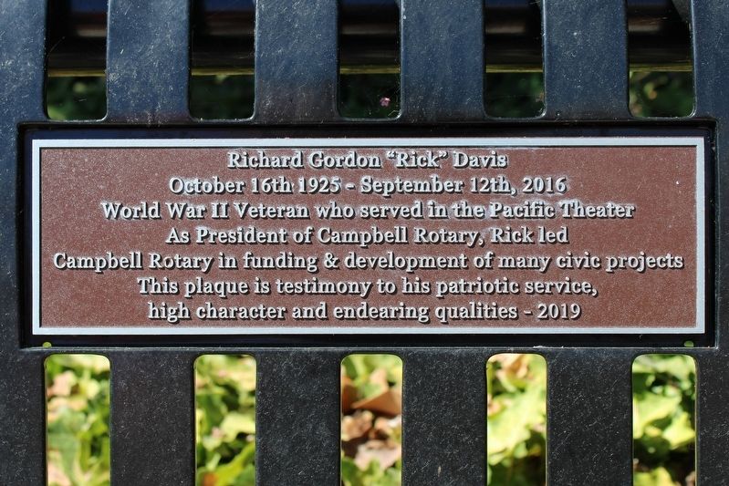
Richard Gordon "Rick" Davis
October 16th 1925 - September 12th, 2016
Photographed by Joseph Alvarado, August 27, 2022
1. Richard Gordon "Rick" Davis Marker
As President of Campbell Rotary, Rick led Campbell Rotary in funding & development of many civic projects
This plaque is a testimony to his patriotic service, high character and endearing qualities – 2019
Erected 2019.
Topics. This memorial is listed in these topic lists: Charity & Public Work • Parks & Recreational Areas • Patriots & Patriotism • War, World II. A significant historical date for this entry is October 16, 1925.
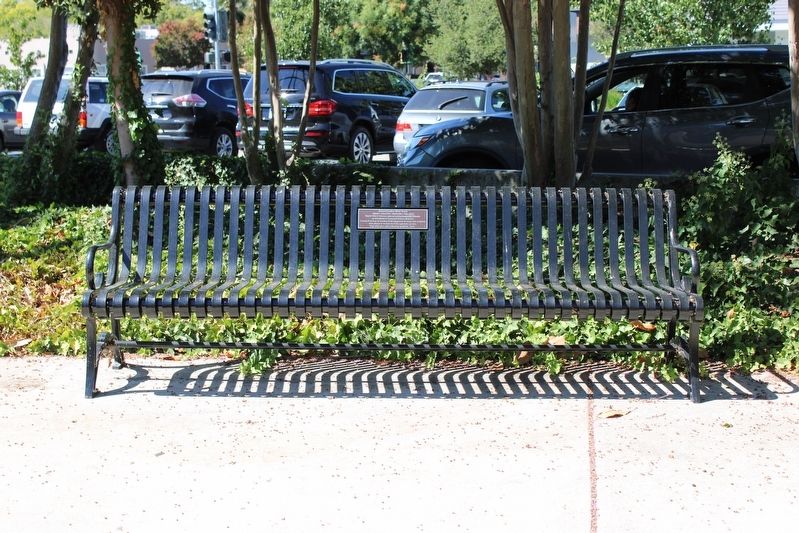
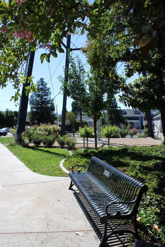
Location. 37° 17.159′ N, 121° 56.669′ W. Memorial is in Campbell, California, in Santa Clara County. It is in Downtown. It can be reached from First Street near Orchard City Drive. The plaque is mounted to a bench in Hyde Park, below the Campbell Water Tower. Touch for map. Memorial is at or near this postal address: 90 S First Streets, Campbell CA 95008, United States of America. Touch for directions.

Regionally, this memorial is in the San Francisco Bay Area, in Silicon Valley, and on the Coast Ranges. It is also on the American Pacific Coast. Globally, it is in North America, on the Ring of Fire, on the Pacific Rim, in the
this page online
Other nearby markers. At least 8 other markers are within walking distance of this marker: Campbell Water Company Towers (a few steps from this marker); Campbell Water Company (within shouting distance of this marker); Hyde Cannery Site (within shouting distance of this marker); Campbell Farmer's Union (about 300 feet away, measured in a direct line); Country Woman's Club (about 400 feet away); Courtyard (about 400 feet away); Bank of Campbell (about 400 feet away); Bank of Campbell (Farley Building) (about 500 feet away). Touch for a list and map of all markers in Campbell.
Photographed by Joseph Alvarado, August 27, 2022
2. Plaque & Bench
Photographed by Joseph Alvarado, August 27, 2022
3. Bench Near the Legs of the Campbell Water Tower
Credits. This page was last revised on February 7, 2023. It was originally submitted on September 6, 2022, by Joseph Alvarado of Livermore, California. This page has been viewed 235 times since then and 17 times this year. Photos: 1, 2, 3. submitted on September 6, 2022, by Joseph Alvarado of Livermore, California.
