Robstown in Nueces County, Texas — The American South (West South Central)
Cattle Drives from South Texas
Photographed by Dave W, March 19, 2022
1. Cattle Drives from South Texas Marker
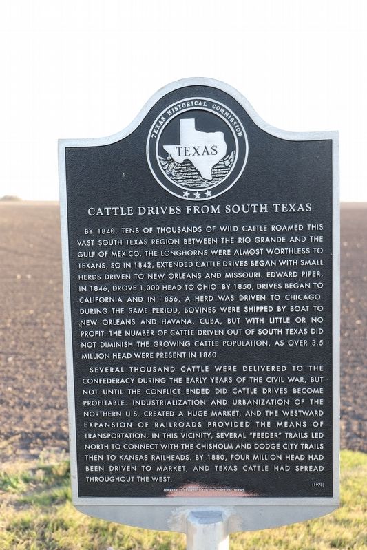
By 1840, tens of thousands of wild cattle roamed this vast south Texas region between the Rio Grande and the Gulf of Mexico. The longhorns were almost worthless to Texans, so in 1842, extended cattle drives began with small herds driven to New Orleans and Missouri. Edward Piper, in 1846, drove 1,000 head to Ohio. By 1850 drives began to California and in 1856, a herd was driven to Chicago. During the same period, bovines were shipped by boat to New Orleans and Havana, Cuba, but with little or no profit. The number of cattle driven out of south Texas did not diminish the growing cattle population, as over 3.5 million head were present in 1860.
Several thousand cattle were delivered to the Confederacy during the early years of the Civil War, but not until the conflict ended did cattle drives become profitable. Industrialization and urbanization of the northern U.S. created a huge market, and the westward expansion of railroads provided the means of transportation. In this vicinity, several "feeder" trails led north to connect with the Chisholm and Dodge City trails to the Kansas railheads. By 1880, four million head had been driven to market, and Texas cattle had spread throughout the west.
Erected 1973 by Texas Historical Commission. (Marker Number 764.)
Topics. This historical marker is listed in these topic lists: Agriculture • Animals • Railroads & Streetcars. A significant historical year for this entry is 1840.
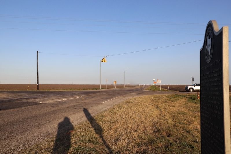
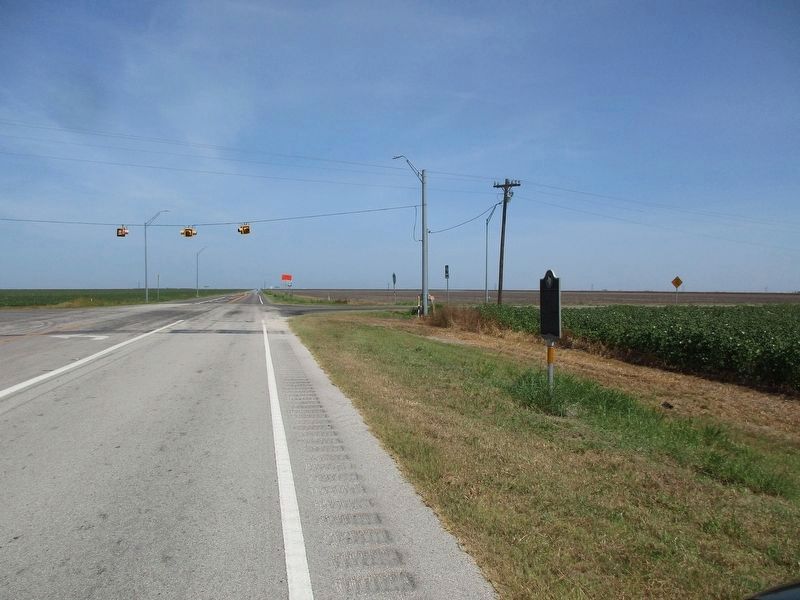
Location. 27° 41.88′ N, 97° 49.99′ W. Marker is in Robstown, Texas, in Nueces County. It is on Farm to Market Road 665, on the left when traveling west. Touch for map. Marker is in this post office area: Robstown TX 78380, United States of America. Touch for directions.

Regionally, this marker is in the American South and on the Gulf Coast. Globally, it is in North America, a
this page online
Other nearby markers. At least 8 other markers are within 9 miles of this marker, measured as the crow flies: Site of Santa Petronila Ranch (approx. 5½ miles away); Battle of Agua Dulce (approx. 7.3 miles away); Banquete, C.S.A. (approx. 7.7 miles away); Bishop (approx. 8.1 miles away); St. John Lutheran Church (approx. 8.2 miles away); Banquete Cemetery (approx. 8.2 miles away); First Baptist Church of Bishop (approx. 8.3 miles away); St. Paul Lutheran Church and School (approx. 8.4 miles away).
Photographed by Dave W, March 19, 2022
2. Cattle Drives from South Texas Marker
Photographed by Jeff Leichsenring, July 21, 2026
3. Cattle Drives from South Texas Marker
Credits. This page was last revised on July 23, 2026. It was originally submitted on September 8, 2022, by Dave W of Co, Colorado. This page has been viewed 535 times since then and 49 times this year. Photos: 1, 2. submitted on September 8, 2022, by Dave W of Co, Colorado. 3. submitted on July 22, 2026, by Jeff Leichsenring of Garland, Texas. • J. Makali Bruton was the editor who published this page.
