York in York County, Pennsylvania — The American Northeast (Mid-Atlantic)
Flowing Through Time
Codorus Creek
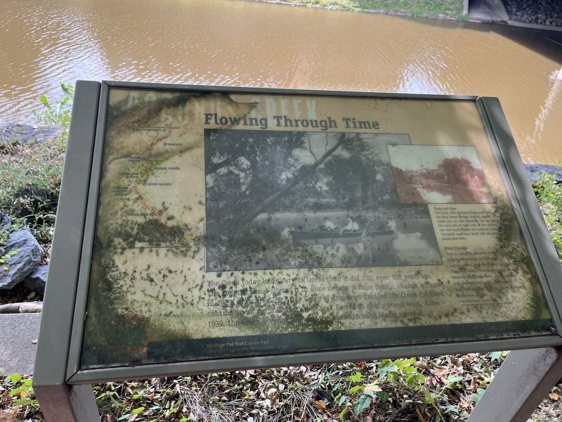
The Creek today looks very different than it did 200, even 100 years ago. The Codorus Canal altered it to some degree. A more drastic change occurred in 1939 when the U.S. Army Corps of Engineers dredged the Creek for flood control. In its natural state the Creek flowed at nearly street level. After 1939, the Creek was made to flow with the banks forming bluffs above it.
[Captions:]
Then and Now
This early 20th-century image was taken on the King Street Bridge, looking toward where you are now standing. You are above the rock wall on right side of the picture. See how much higher the Codorus Creek was. The banks were lined with abundant plants and trees.
Water Parades
"Back in that time, the creek banks were full of weeping willow trees on both sides..... In summer months, they would have boat parades. They'd start where Penn Street crosses the creek. They'd decorate these boats, mostly canoes, with pennants and roman candles and jack-o-lanterns and the girls, one at each end, would have parasols...."
—From Skinny Dipping in the Codorus, the Boyhood Recollections of Raymond Sechrist
Erected by Heritage
this page online
Topics. This historical marker is listed in this topic list: Waterways & Vessels. A significant historical year for this entry is 1939.
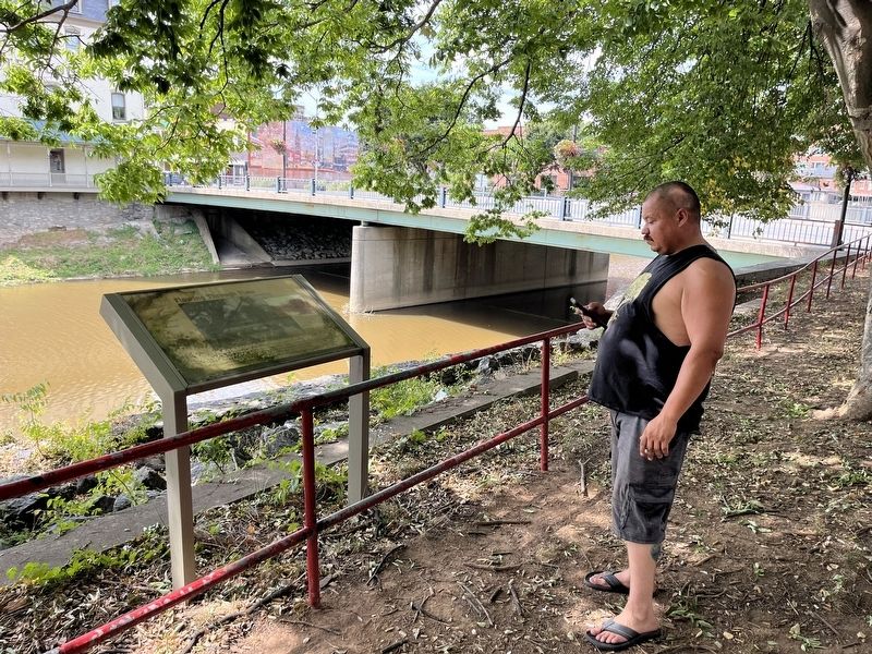
Location. 39° 57.646′ N, 76° 43.93′ W. Marker has been reported damaged. Marker is in York, Pennsylvania, in York County. It is on Heritage Rail Trail County Park just south of West Market Street (Pennsylvania Route 74/462), on the right when traveling south. Touch for map. Marker is at or near this postal address: 200 W Market St, York PA 17401, United States of America. Touch for directions.

Regionally, this marker is in South-Central Pennsylvania, specifically in Pennsylvania Dutch Country, in the Susquehanna Valley, and in Greater Harrisburg. It is also in the American Northeast and in the Mid-Atlantic. Globally, it is in North America, the Western Hemisphere, the Western World, and the Anglosphere. Historically, it finds itself in what was once the Haudenosaunee (Iroquois) Confederacy and also one of the original Thirteen Colonies.
Other nearby markers. At least 8 other markers are within walking distance of this location: Korean War Veterans Memorial (a few
Credits. This page was last revised on September 8, 2022. It was originally submitted on September 8, 2022, by Devry Becker Jones of Washington, District of Columbia. This page has been viewed 207 times since then and 31 times this year. Photos: 1, 2. submitted on September 8, 2022, by Devry Becker Jones of Washington, District of Columbia.
