South Boston in Halifax County, Virginia — The American South (Mid-Atlantic)
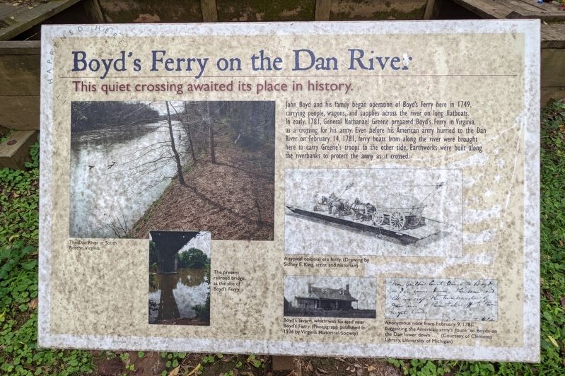
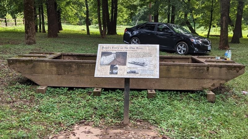
Boyd's Ferry on the Dan River
John Boyd and his family began operations of Boyd's Ferry here in 1749, carrying people, wagons, and supplies across the river on long flatboats. In early 1781, General Nathanael Greene prepared Boyd's Ferry in Virginia as a crosiing for his army. Even before his American army hurried to the Dan River on February 14, 1781, ferry boats from along the river were brought here to cary Greene's troops to the other side. Earthworks were built along the riverbanks to protect the army as it crossed.
(captions)
The Dan River at South Boston, Virginia.
The present railroad bridge, at the site of Boyd's Ferry.
A typical colonial era ferry. (Drawing by Sidney E. King, artist and historian)
Boyd's Tavern, which was located near Boyd's Ferry. (Photograph published in 1936 by Virginia Historical Society)
Anonymous note from February 9, 1781, suggesting the American army's route "to Boyd's on the Dan lower down..." (Courtesy of Clements Library, University of Michigan)
Topics. This historical marker is listed in these topic lists: Colonial Era • War, US Revolutionary • Waterways & Vessels. A significant historical date for this entry is February 14, 1781.
Location. 36° 41.591′ N, 78° 54.2′ W. Marker is in South Boston, Virginia, in Halifax County. Marker can be reached from the intersection of Seymour Drive and Ferry Street, on the left when traveling west. Located just west of the Norfolk Southern RR bridge below the Tobacco Heritage Trail overlooking the Dan River. Touch for map. Marker is in this post office area: South Boston VA 24592, United States of America. Touch for directions.
Other nearby markers. At least 8 other markers are within walking distance of this marker. What a Way to Cross the River! (here, next to this marker); The Race to the Dan (here, next to this marker); The Crossing of the Dan River (here, next to this marker); Crossing of the Dan Monument (a few steps from this marker); From Here to Victory at Yorktown (a few steps from this marker); Refuge and Recovery in Halifax County (a few steps from this marker); DAR Memorial Cannon (approx. 0.2 miles away); Crossing of the Dan (approx. 0.2 miles away). Touch for a list and map of all markers in South Boston.
Credits. This page was last revised on September 10, 2022. It was originally submitted on September 9, 2022, by Bernard Fisher of Richmond, Virginia. This page has been viewed 627 times since then and 153 times this year. Photos: 1, 2. submitted on September 9, 2022, by Bernard Fisher of Richmond, Virginia. 3. submitted on September 10, 2022, by Bernard Fisher of Richmond, Virginia.


