Blackwell in Kay County, Oklahoma — The American South (West South Central)
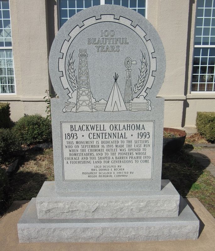
100 Beautiful Years
Blackwell Oklahoma
| — | 1893 ★ Centennial ★ 1993 | — |
Photographed by Jason Armstrong, March 13, 2022
1. 100 Beautiful Years Marker
Erected 1993 by Anson Memorial Company; logo designed by Mrs. Donald E. Becker.
Topics. This historical marker is listed in these topic lists: Indigenous Peoples and Communities • Settlements & Settlers. A significant historical date for this entry is June 16, 1893.
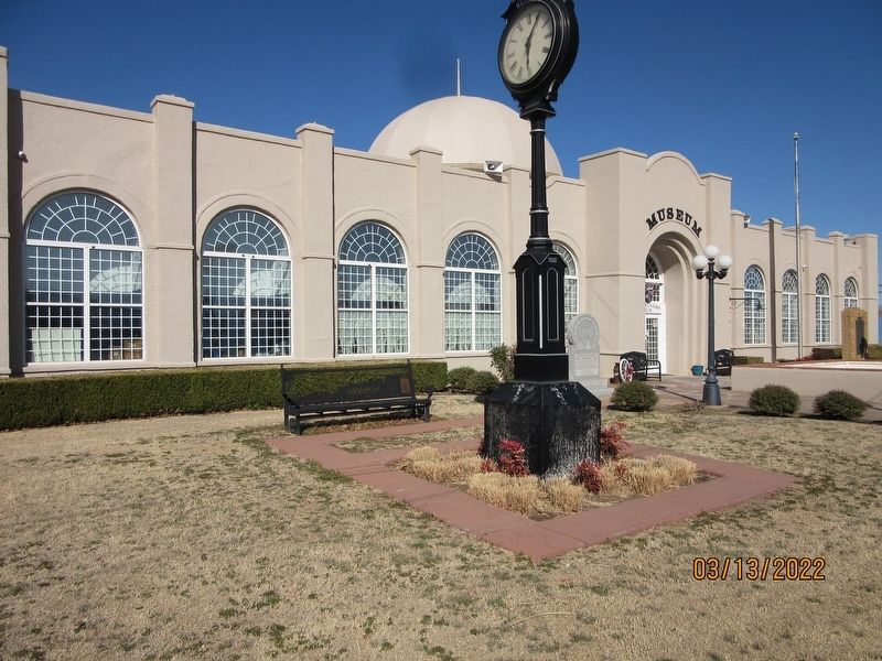
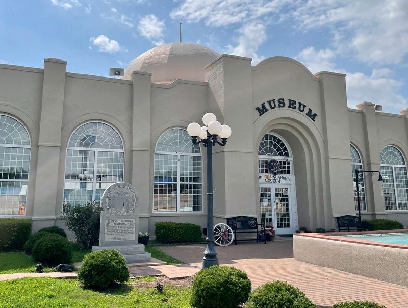
Location. 36° 48.103′ N, 97° 16.995′ W. Marker is in Blackwell, Oklahoma, in Kay County. It is on South Main Street (U.S. 177) just south of West Padon Avenue, on the right when traveling south. Located on the grounds of the Top of Oklahoma Museum. Touch for map. Marker is at or near this postal address: 303 S Main St, Blackwell OK 74631, United States of America. Touch for directions.

Regionally, this marker is in Northwest Oklahoma — Red Carpet Country. It is also in the American South, specifically on the prairies, and on the Southern Plains. Globally, it is in North America, the Western Hemisphere,
this page online
Other nearby markers. At least 8 other markers are within 12 miles of this marker, measured as the crow flies: Blackwell Zinc Company WWII Memorial (a few steps from this marker); Homesteaders (a few steps from this marker); Oklahoma Baptist College (within shouting distance of this marker); Replica of the Statue of Liberty (approx. ¾ mile away); Camp Tonkawa (approx. 7.4 miles away); Chief Joseph of the Nez Perce (approx. 7.9 miles away); Braman / Braman Business Leaders 1898 — 1930 (approx. 8.9 miles away); Oklahoma War Chief (approx. 11.9 miles away). Touch for a list and map of all markers in Blackwell.
Photographed by Jason Armstrong, March 13, 2022
2. Top of Oklahoma Museum
Photographed by Mark Hilton, June 15, 2022
3. 100 Beautiful Years Marker
Credits. This page was last revised on May 14, 2023. It was originally submitted on September 11, 2022, by Jason Armstrong of Talihina, Oklahoma. This page has been viewed 362 times since then and 46 times this year. Photos: 1, 2. submitted on September 11, 2022, by Jason Armstrong of Talihina, Oklahoma. 3. submitted on May 14, 2023, by Mark Hilton of Montgomery, Alabama. • Devry Becker Jones was the editor who published this page.
