Falling Waters in Berkeley County, West Virginia — The American South (Appalachia)
Battle of Hoke's Run
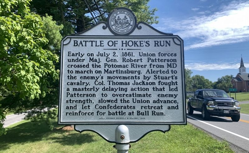
Photographed by Tim Fillmon, August 14, 2022
1. Battle of Hoke's Run Marker
Erected 2016 by West Virginia Archives and History.
Topics. This historical marker is listed in this topic list: War, US Civil. A significant historical date for this entry is July 2, 1861.
Location. 39° 33.459′ N, 77° 53.582′ W. Marker is in Falling Waters, West Virginia, in Berkeley County. It is at the intersection of Williamsport Pike (U.S. 11) and Foster Drive, on the right when traveling south on Williamsport Pike. Touch for map. Marker is in this post office area: Falling Waters WV 25419, United States of America. Touch for directions.

Regionally, this marker is in the Eastern Panhandle. It is also in the American South, specifically in the Upper South, in Appalachia, and specifically in Northern Appalachia. Globally, it is in North America,
this page online
Other nearby markers. At least 8 other markers are within 2 miles of this marker, measured as the crow flies: Battles of Falling Waters (approx. 0.3 miles away); Falling Waters (approx. 0.4 miles away in Maryland); a different marker also named Falling Waters (approx. 0.4 miles away in Maryland); a different marker also named Battle of Falling Waters (approx. 1.2 miles away); a different marker also named Battle of Falling Waters (approx. 1.3 miles away); Stumpy’s Hollow (approx. 1½ miles away); a different marker also named The Battle of Falling Waters (approx. 1½ miles away); a different marker also named Stumpy's Hollow (approx. 1½ miles away). Touch for a list and map of all markers in Falling Waters.
Other markers no longer nearby. Battle of Falling Waters (was approx. one mile away but has been permanently removed); a different marker also named Battle of Falling Waters (was approx. 1½ miles away but has been replaced with another
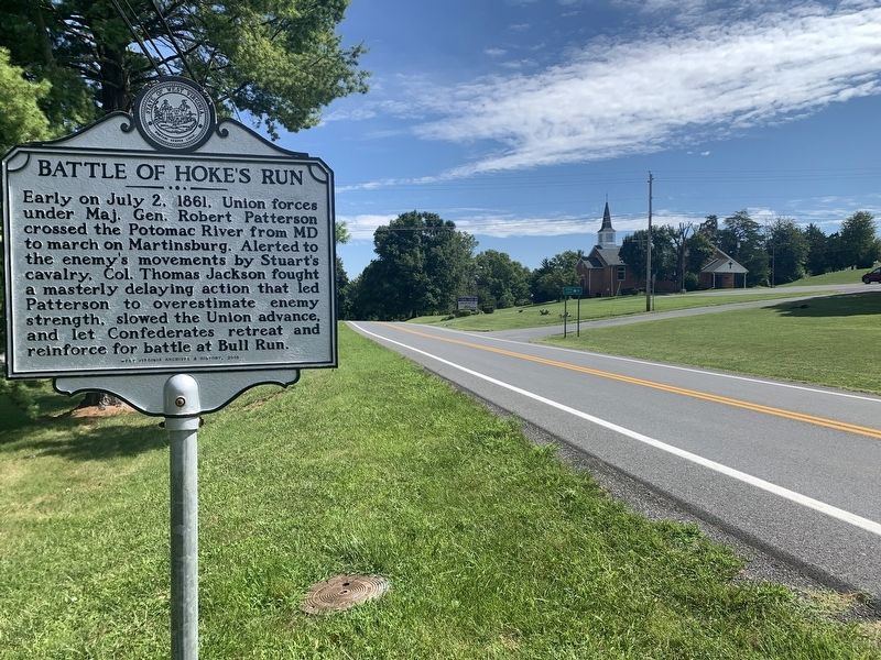
Photographed by Tim Fillmon, August 14, 2022
2. Battle of Hoke's Run Marker
Looking north on US 11
Credits. This page was last revised on December 17, 2024. It was originally submitted on September 11, 2022, by Tim Fillmon of Webster, Florida. This page has been viewed 1,546 times since then and 155 times this year. Photos: 1, 2. submitted on September 11, 2022, by Tim Fillmon of Webster, Florida.
