Centro Histórico in Ciudad de México, Mexico — The Valley of Mexico (The Central Highlands)
Plaza in Front of the Templo Mayor
Etapas V (1481-1486 d.C.) y VI (1486-1502 d.C.)
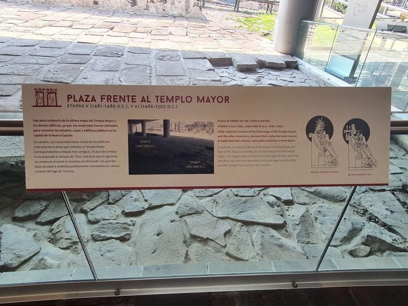
Hay poca evidencia de la última etapa del Templo Mayor y los demás edificios, ya que sus materiales fueron utilizados para construir los templos, casas y edificios públicos en la capital de la Nueva España.
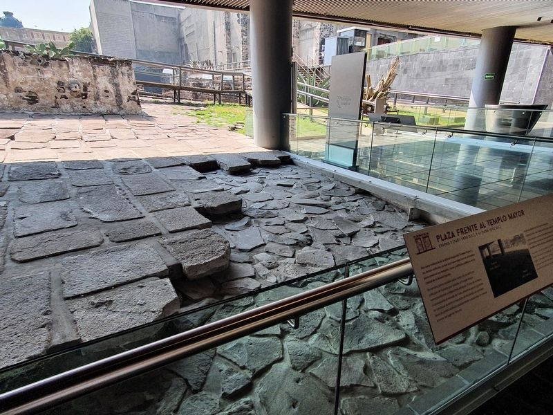
En cambio, aún es posible hallar restos de los edificios y del piso de la plaza que rodeaba al Templo Mayor correspondientes a etapas más antiguas. El piso de la etapa V corresponde al reinado de Tízoc, mientras que el siguiente se construyó durante el mandato de Ahuítzotl, con grandes losas de piedra andesita posiblemente trasladadas en canoas a través del lago de Texcoco.
Pie de dibujos: Códice Azcatitlan, Ahuitzotl
Códice Azcatitlan, Tizoc
Plaza in Front of the Templo Mayor
Stages V (A.D. 1481-1486) and VI (A.D. 1486-1502)
Little evidence remains of the final stage of the Templo Mayor and the other structures, because their materials were reused to build churches, houses, and public buildings in New Spain.
In contrast, it is still possible to find remains of the buildings and floor of the plaza surrounding the Templo Mayor from the oldest stages. The stage V floor corresponds to the reign of Tizoc, while the next floor was from the rule of Ahuitzotl, with large andesite slabs possible brought by canoe on Lake Texcoco.
Topics. This historical marker is listed in these topic lists: Anthropology & Archaeology • Architecture • Native Americans.
Location. 19° 26.072′ N, 99° 7.921′ W. Marker is in Ciudad de México. It is in Centro Histórico. Marker can be reached from Seminario just north of Plaza de la Constitución, on the right when traveling north. Touch for map. Marker is in this post office area: Ciudad de México 06000, Mexico. Touch for directions.
Other nearby markers. At least 8 other markers are within walking distance of this marker. The Mexica People (here, next to this marker); The Basin of Mexico (a few steps from this marker); The City of Tenochtitlan (a few steps from this marker); The Templo Mayor and its Seven Construction Stages (a few steps from this marker); What is the Templo Mayor made of? (a few steps from this marker); The Cuauhxicalco, Place of the Eagle Vessel (within shouting distance of this marker); The Sacred Precinct of Mexico-Tenochtitlan (within shouting distance of this marker); The Sacred Tree (within shouting distance of this marker). Touch for a list and map of all markers in Ciudad de México.
Credits. This page was last revised on February 7, 2023. It was originally submitted on September 12, 2022, by J. Makali Bruton of Accra, Ghana. This page has been viewed 64 times since then and 8 times this year. Photos: 1, 2. submitted on September 12, 2022, by J. Makali Bruton of Accra, Ghana.

