Verona Hills in Kansas City in Jackson County, Missouri — The American Midwest (Upper Plains)
Santa Fe Trail
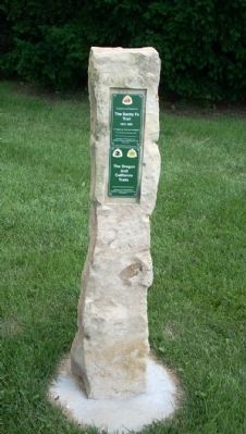
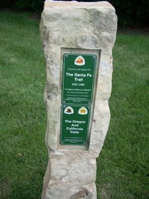
Camino de Santa Fe
— 1821 - 1880 —
Sen. Thomas Hart Benton, 1825
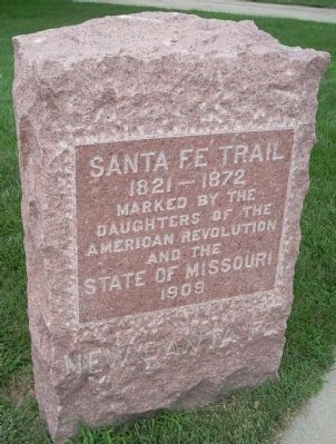
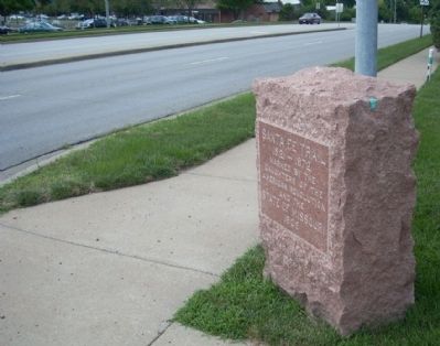
(red granite marker)
1821 - 1872
Marked by the
Daugters of the
American Revolution
and the
State of Missouri
1909
New Santa Fe
Erected by Missouri River Outfitters Chapter of the Santa Fe Trail Association.
Topics and series. This historical marker is listed in these topic lists: Notable Places • Roads & Vehicles • Settlements & Settlers. In addition, it is included in the California Trail, the Daughters of the American Revolution, and the Santa Fe Trail series lists. A significant historical year for this entry is 1825.
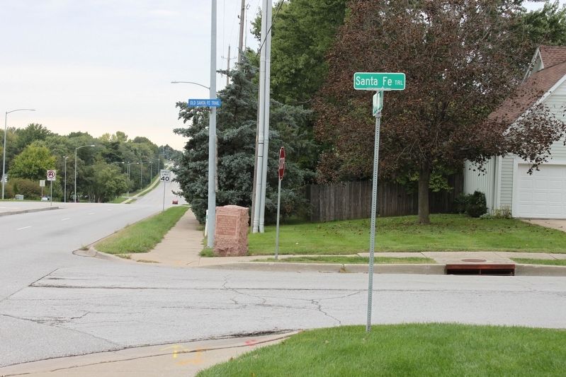
Location. 38° 54.408′ N, 94° 36.474′ W. Marker is in Kansas City, Missouri, in Jackson County. It is in Verona Hills. Marker is at the intersection of State Line Road and Santa Fe Trail, on the right when traveling north on State Line Road. These markers can only be approached by car if trvelling north on State Line Road. Touch for map. Marker is in this post office area: Kansas City MO 64145, United States of America. Touch for directions.
Other nearby markers. At least 8 other markers are within 3 miles of this marker, measured as the crow flies. Trail Remnants (about 600 feet away, measured in a direct line); Oregon and California National Historical Trails / Santa Fe National Historic Trail (about 600 feet away); New Santa Fe (about 600 feet away); a different marker also named New Santa Fe (about 600 feet away); Trail Hazards (approx. 2.1 miles away); Amache Prowers (approx. 2.2 miles away); James Beckwourth (approx. 2.2 miles away); Jim Bridger (approx. 2.3 miles away). Touch for a list and map of all markers in Kansas City.
More about this marker. The red granite marker is on the north side of Santa Fe Trail and the Limestone marker is on the south side.
Also see . . .
1. Santa Fe National Historic Trail. This is the National Park Service Website for the Santa Fe Trail. (Submitted on July 7, 2009, by Thomas Onions of Olathe, Kansas.)
2. Oregon National Historic Trail. This is the National Park Service Link to the Oregon Trail. (Submitted on July 7, 2009, by Thomas Onions of Olathe, Kansas.)
3. California National Historical Trail. This is the National Park Service Link to the California Trail. (Submitted on July 7, 2009, by Thomas Onions of Olathe, Kansas.)
4. Legends of America. History, Information, Maps, etc., of the Sante Fe Trail. (Submitted on July 7, 2009, by Thomas Onions of Olathe, Kansas.)
5. New Santa Fe Historical Society. Link to the group responsible to the preservation of New Santa Fe. (Submitted on July 7, 2009, by Thomas Onions of Olathe, Kansas.)
6. Missouri River Outfitters Chapter of the Santa Fe Trail Association. This is the link to the group responsible for the limestone marker. (Submitted on July 7, 2009, by Thomas Onions of Olathe, Kansas.)
7. Mileposts Along the Oregon Trail. (Submitted on July 7, 2009, by Thomas Onions of Olathe, Kansas.)
Additional keywords. Santa Fe Trail Oregon Trail California Trail
Credits. This page was last revised on February 10, 2023. It was originally submitted on July 7, 2009, by Thomas Onions of Olathe, Kansas. This page has been viewed 1,973 times since then and 17 times this year. Photos: 1, 2, 3, 4. submitted on July 7, 2009, by Thomas Onions of Olathe, Kansas. 5. submitted on October 9, 2019, by Michael E Sanchez, Jr. of Kansas City, Missouri. • Syd Whittle was the editor who published this page.
