Three Forks in Gallatin County, Montana — The American West (Mountains)
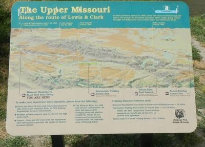
The Upper Missouri
Along the route of Lewis & Clark
Sites depicted on this map of the Upper Missouri River presented left to right (south to north).
• Lewis & Clark campsite July 27-29, 1805; Clark campsite July 13, 1806
• Missouri Headwaters State Park Boat Ramp; YOU ARE HERE
• Lewis campsite July 26, 1805
• Clark campsite July 24, 1805
• Fairweather Fishing Access Site Montana Fish, Wildlife & Parks
• Toston Dam Boat Launch, US Dept. of Interior, Bureau of Land Management
• Lewis campsite July 25, 1805
• Toston Fishing Access Site Montana Fish, Wildlife & Parks
Erected by Montana Fish, Wildlife & Parks.
Topics and series. This historical marker is listed in these topic lists: Exploration • Waterways & Vessels. In addition, it is included in the Lewis & Clark Expedition series list.
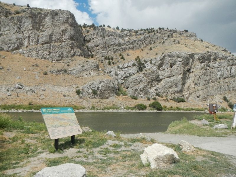
Location. 45° 56.391′ N, 111° 29.433′ W. Marker is in Three Forks, Montana , in Gallatin County. Marker can be reached from Trident Road near Carpenter Road, on the left when traveling north. The marker is located at the Missouri Headwaters State Park Boat Ramp. Touch for map. Marker is at or near this postal address: 1585 Trident Road, Three Forks MT 59752, United States of America. Touch for directions.
Other nearby markers. At least 8 other markers are within 2 miles of this marker, measured as the crow flies. Trident (approx. ¾ mile away); Roll of Honor (approx. ¾ mile away); Lewis and Clark reach the Headwaters (approx. 1.1 miles away); Jefferson’s Instructions to Lewis and Clark (approx. 1.1 miles away); The Naming of a River (approx. 1.1 miles away); Second Gallatin City (approx. 1.4 miles away); Colter’s Run (approx. 1.4 miles away); The Log Cabin (approx. 1.4 miles away). Touch for a list and map of all markers in Three Forks.
Credits. This page was last revised on September 13, 2022. It was originally submitted on September 13, 2022, by Barry Swackhamer of Brentwood, California. This page has been viewed 80 times since then and 10 times this year. Photos: 1, 2. submitted on September 13, 2022, by Barry Swackhamer of Brentwood, California.

