Front Royal in Warren County, Virginia — The American South (Mid-Atlantic)
Erin Dinner Bell
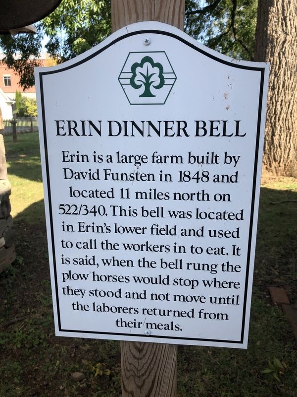
Topics and series. This historical marker is listed in these topic lists: Agriculture • Animals • Communications • Industry & Commerce. In addition, it is included in the Historic Bells series list. A significant historical year for this entry is 1848.
Location. 38° 55.169′ N, 78° 11.462′ W. Marker is in Front Royal, Virginia, in Warren County. It is on Chester Street just south of Crescent Street, on the right when traveling north. Touch for map. Marker is at or near this postal address: 55 Chester St, Front Royal VA 22630, United States of America. Touch for directions.

Regionally, this marker is in the Washington Metropolitan Area and in the Shenandoah Valley. It is also in the American South, specifically in the Upper South, and in the Mid-Atlantic. Globally, it is in North America, the Western
this page online
Other nearby markers. At least 8 other markers are within walking distance of this marker: The Great Seal of the Confederacy (within shouting distance of this marker); Williams Chapel (about 300 feet away, measured in a direct line); a different marker also named Bel Air (about 800 feet away); John Marlow Plaza (about 800 feet away); The Courthouse (approx. 0.2 miles away); Capture of Front Royal (approx. 0.2 miles away); Warren County Korea & Vietnam Memorial (approx. 0.2 miles away); Front Royal (approx. 0.2 miles away). Touch for a list and map of all markers in Front Royal.
Other markers no longer nearby. Mosby’s Men (was here, next to this marker but has been replaced with another marker now near it); Bel Air (was about 700 feet away but has been replaced with another marker now near it).
Photographed by Devry Becker Jones (CC0), October 23, 2020
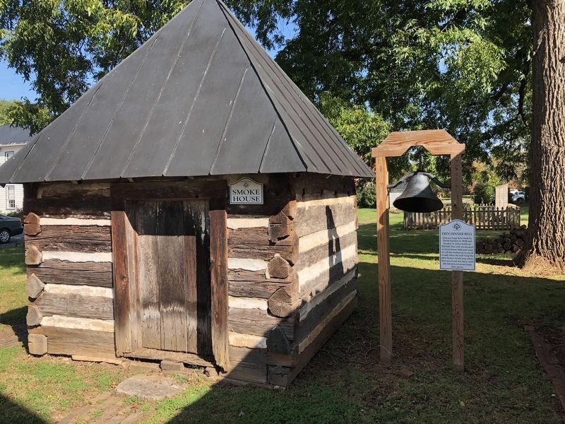
2. Erin Dinner Bell, to the right of the Smoke House
Credits. This page was last revised on September 19, 2022. It was originally submitted on October 25, 2020, by Devry Becker Jones of Washington, District of Columbia. This page has been viewed 614 times since then and 41 times this year. Last updated on September 18, 2022, by James Dean of Chesterfield, Virginia. Photos: 1, 2. submitted on October 25, 2020, by Devry Becker Jones of Washington, District of Columbia.
