Greer in Greenville County, South Carolina — The American South (South Atlantic)
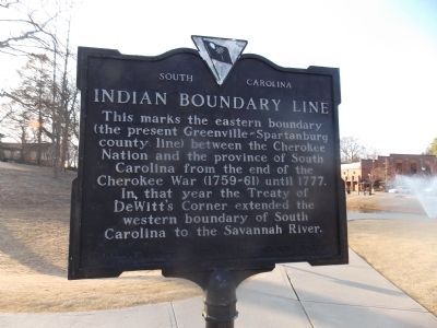
Indian Boundary Line
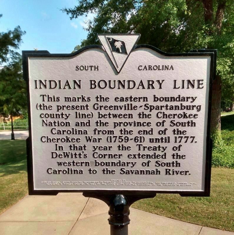
Photographed by Jeffery S Auerhamer, September 17, 2022
1. Indian Boundary Line Marker (after refurbishing)
Erected 1979 by City of Greer, South Carolina of Highways and Public Transportation, and Greenville County.
Topics. This historical marker is listed in this topic list: Indigenous Peoples and Communities. A significant historical year for this entry is 1777.
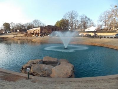
Location. 34° 56.353′ N, 82° 13.354′ W. Marker is in Greer, South Carolina, in Greenville County. It is at the intersection of North Line Street and East Church Street, in the median on North Line Street. It is on the circular path that goes around the small pond in a Greer City pocket park. Opposite end from the gazebo. Touch for map. Marker is at or near this postal address: 114 N Line St, Greer SC 29651, United States of America. Touch for directions.

Regionally, this marker is in Upstate and in the Greater Greenville-Spartanburg Area. It is also in the
this page online
Other nearby markers. At least 8 other markers are within walking distance of this marker: National Highway (approx. 0.2 miles away); 101 Trade Street (approx. ¼ mile away); P & N Greer Depot (approx. ¼ mile away); Tribute to Greer Firefighters (approx. 0.3 miles away); Stone Mortar (approx. 0.4 miles away); AH-1 Cobra Helicopter (approx. half a mile away); All Wars Memorial (approx. half a mile away); Ronnie Eugene Norris Remembrance Fountain (approx. half a mile away). Touch for a list and map of all markers in Greer.
More about this marker. This marker replaces a 1952 marker erected by the Joyce Scott Chapter Daughters of the American Revolution.
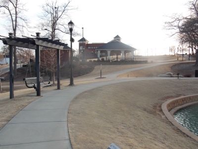
Photographed by Stanley and Terrie Howard, March 4, 2013
2. Indian Boundary Line Marker
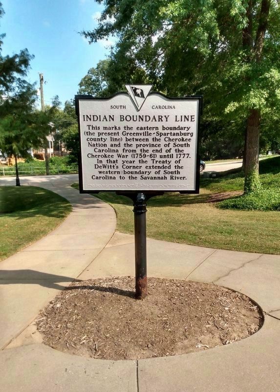
Photographed by Jeffery S Auerhamer, September 17, 2022
3. Indian Boundary Line Marker (replacement)
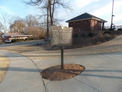
Photographed by Stanley and Terrie Howard, March 4, 2013
4. Indian Boundary Line Marker
Photographed by Stanley and Terrie Howard, March 4, 2013
5. Indian Boundary Line Marker prior to repainting.
Photographed by Stanley and Terrie Howard, March 4, 2013
6. Indian Boundary Line Marker
Photographed by Stanley and Terrie Howard, March 4, 2013
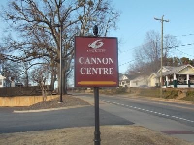
7. Indian Boundary Line Marker
Credits. This page was last revised on September 23, 2022. It was originally submitted on March 5, 2013, by Stanley and Terrie Howard of Greer, South Carolina. This page has been viewed 1,662 times since then and 78 times this year. Last updated on September 18, 2022, by Jeffery S Auerhamer of Greenville, South Carolina. Photos: 1. submitted on September 18, 2022, by Jeffery S Auerhamer of Greenville, South Carolina. 2. submitted on March 5, 2013, by Stanley and Terrie Howard of Greer, South Carolina. 3. submitted on September 18, 2022, by Jeffery S Auerhamer of Greenville, South Carolina. 4, 5, 6, 7. submitted on March 5, 2013, by Stanley and Terrie Howard of Greer, South Carolina. • Devry Becker Jones was the editor who published this page.
