West Cape May in Cape May County, New Jersey — The American Northeast (Mid-Atlantic)
West Cape May Remembers… / Wilbraham Memorial Park…

Photographed By Devry Becker Jones (CC0), September 17, 2022
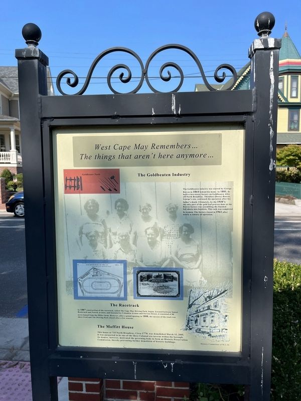
1. West Cape May Remembers… side of the marker
The things that aren't here anymore…
The Goldbeaten Industry
The Goldbeaten industry was started by George Reeves in 1864 behind his home. In 1881, he built a two-storey factory on Goldbeaten Alley off North Broadway. Theodore (Dorey) Reeves, George's son, continued the operation after his father's death. Ultimately, by the 1930's the only part of the gold leaf process done at the Reeves factory was assembling the finished foil sheets into booklets. This task was completed by women. The factory closed in 1961 after nearly a century of operation.
The Racetrack
In 1887 construction of the racetrack, called The Cape May Driving Park, began. Located between Sunset Boulevard and Fourth Avenue, and bounded by Columbia Avenue and Stevens Street, it consisted of 80 acres leased from the Miller farm. However, after a grand opening in 1888, the success of the track was short lived and The Driving Park closed after a few seasons.
The Moffitt House
This house at 715 North Broadway, Circa 1770, was demolished March 15, 2005. It was purported to be one of the three Colonial era taverns within the borough. Its demise, however, motivated the governing body to form an Historic Preservation Commission, thereby preventing further demolition of historic buildings.
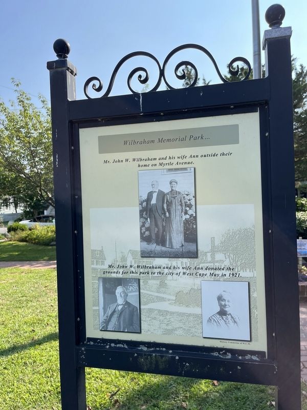
Mr. John W. Wilbraham and his wife Ann outside their home on Myrtle Avenue.
Mr. John W. Wilbraham and his wife Ann donated the grounds for this park to the city of West Cape May in 1921.
Erected by The Borough of West Cape May, New Jersey.
Topics. This historical marker is listed in these topic lists: Colonial Era • Industry & Commerce • Notable Buildings • Parks & Recreational Areas • Sports. A significant historical date for this entry is March 15, 2005.
Location. 38° 56.105′ N, 74° 55.78′ W. Marker is in West Cape May, New Jersey, in Cape May County. Marker is on Myrtle Avenue west of Park Boulevard, on the left when traveling west. Touch for map. Marker is at or near this postal address: 127 Myrtle Ave, Cape May NJ 08204, United States of America. Touch for directions.
Other nearby markers. At least 8 other markers are within walking distance of this marker. Historic West Cape May Remembers… / West Cape May Sporting Events of the Past… (here, next to this marker); Korean Veterans Memorial (here, next to this marker); World War II Memorial (here, next to this marker); Vietnam Veterans Memorial (a few steps from this marker); Mr. and Mrs. Charles A. Swain (approx.

Photographed By Devry Becker Jones (CC0), September 17, 2022
2. Wilbraham Memorial Park… side of the marker

Photographed By Devry Becker Jones (CC0), September 17, 2022
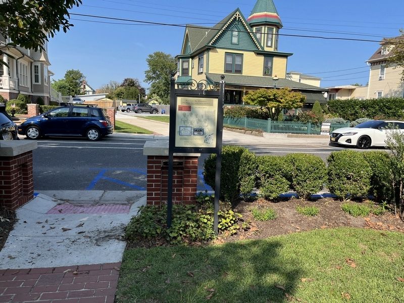
3. West Cape May Remembers… / Wilbraham Memorial Park… Marker
Credits. This page was last revised on June 22, 2023. It was originally submitted on September 19, 2022, by Devry Becker Jones of Washington, District of Columbia. This page has been viewed 101 times since then and 15 times this year. Photos: 1, 2, 3. submitted on September 19, 2022, by Devry Becker Jones of Washington, District of Columbia.