Lower Township near Cape May in Cape May County, New Jersey — The American Northeast (Mid-Atlantic)
Oil House
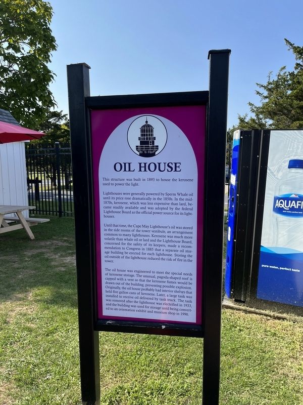
This structure was built in 1893 to house the kerosene used to power the light.
Lighthouses were generally powered by Sperm Whale oil until its price rose dramatically in the 1850s. In the mid-1870s, kerosene, which was less expensive than lard, became readily available and was adopted by the federal Lighthouse Board as the official power source for its lighthouses.
Until that time, the Cape May Lighthouse's oil was stored in the side rooms of the tower vestibule, an arrangement common to many lighthouses. Kerosene was much more volatile than whale oil or lard and the Lighthouse Board, concerned for the safety of its keepers, made a recommendation to Congress in 1885 that a separate oil storage building be erected for each lighthouse. Storing the oil outside of the lighthouse reduced the risk of fire in the tower.
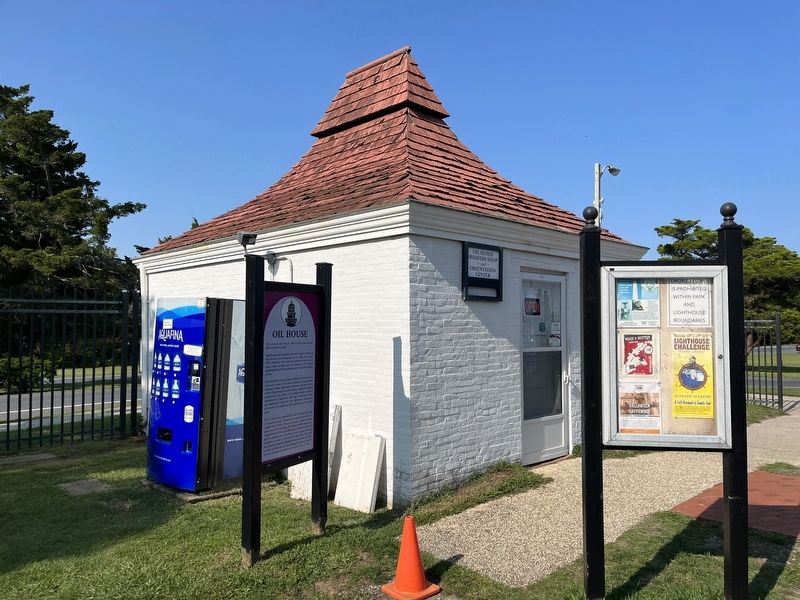
The oil house was engineered to meet the special needs of kerosene storage. The unusual, pagoda-shaped roof is capped with a vent so that the kerosene fumes would be drawn out of the building, preventing possible explosion. Originally, the oil house probably had interior shelves that held five gallon
this page online
Erected by The Mid-Atlantic Center for the Arts & Humanities.
Topics and series. This historical marker is listed in these topic lists: Communications • Natural Resources • Notable Buildings • Waterways & Vessels. In addition, it is included in the Lighthouses series list. A significant historical year for this entry is 1893.
Location. 38° 55.987′ N, 74° 57.621′ W. Marker is near Cape May, New Jersey, in Cape May County. It is in Lower Township. It can be reached from the intersection of Light House Avenue (County Road 629) and Lehigh Avenue, on the left when traveling south. Touch for map. Marker is at or near this postal address: 215 Light House Ave, Cape May NJ 08204, United States of America. Touch for directions.

Regionally, this marker is on New Jersey’s Jersey Shore. It is also in the American Northeast, in the Mid-Atlantic, and on
Other nearby markers. At least 8 other markers are within walking distance of this marker: A different marker also named Oil House (here, next to this marker has been replaced with this marker); Lighthouse Keepers' Homes & Gardens (here, next to this marker); A Beacon to Freedom (a few steps from this marker); Welcome to the Cape May Lighthouse (a few steps from this marker); Monomoy Lifesaving Boat (a few steps from this marker); Maritime Sentinels (a few steps from this marker); The Cape May Lighthouse (a few steps from this marker); A Woman Leads the Lighthouse (a few steps from this marker). Touch for a list and map of all markers in Cape May.
Other markers no longer nearby. Welcome to the Cape May Lighthouse (was a few steps from this marker but has been replaced with another marker now near it); All Shapes, Sizes and Materials (was a few steps from this marker but has been replaced with another marker now near it).
Related marker. Click here for another marker that is related to this marker. This marker has replaced the linked marker.
Credits. This page was last revised on February 7, 2023. It was originally submitted on September 19, 2022, by Devry Becker Jones of Washington, District of Columbia. This page has been viewed 251 times since then and 35 times this year. Photos: 1, 2. submitted on September 19, 2022, by Devry Becker Jones of Washington, District of Columbia.
