South San Francisco in San Mateo County, California — The American West (Pacific Coastal)
Transportation Evolution
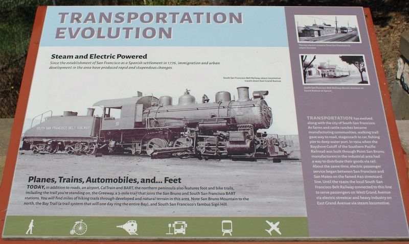
Steam and Electric Powered
Since the establishment of San Francisco as a Spanish settlement in 1776, immigration and urban development in the area have produced rapid and stupendous changes.
Planes, Trains, Automobiles, and…Feet
Today, in addition to roads, an airport, CalTrain and BART, the northern peninsula also features foot and bike trails, including the trail you’re standing on, the Greenway, a 3-mile trail that joins the San Bruno and South San Francisco BART stations. You will find miles of hiking trails through developed and natural terrain in this area. Note San Bruno Mountain to the north, the Bay Trail (a trail system that will one day ring the entire Bay), and South San Francisco’s famous Signal Hill.
Topics and series. This historical marker is listed in these topic lists: Agriculture • Industry & Commerce • Railroads & Streetcars • Settlements & Settlers. In addition, it is included in the Southern Pacific Railroad series list. A significant historical year for this entry is 1904.
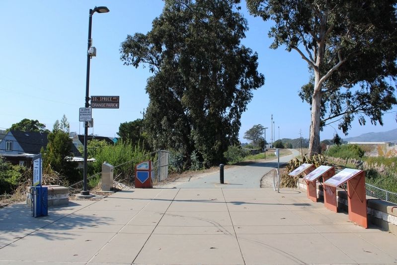
Location. 37° 38.754′ N, 122° 25.314′ W. Marker is in South San Francisco, California, in San Mateo County. Marker is on South Spruce Avenue near Centennial Way Trail, on the left when traveling east. The resin marker is mounted to a metal stand north of the intersection. Touch for map. Marker is in this post office area: South San Francisco CA 94080, United States of America. Touch for directions.
Other nearby markers. At least 8 other markers are within walking distance of this marker. Development of Industry in the Area (here, next to this marker); Cut Stone Bridge (a few steps from this marker); Tanforan Racetrack Japanese Assembly Center (approx. 0.7 miles away); First Shipboard Landing (approx. 0.7 miles away); Seabiscuit (approx. ¾ mile away); Tanforan Assembly Center Commemorative Garden (approx. ¾ mile away); Plymire-Schwarz House (approx. 0.8 miles away); South San Francisco General Hospital (approx. 0.8 miles away). Touch for a list and map of all markers in South San Francisco.
Also see . . .
1. Market Street Railway.
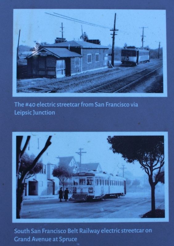
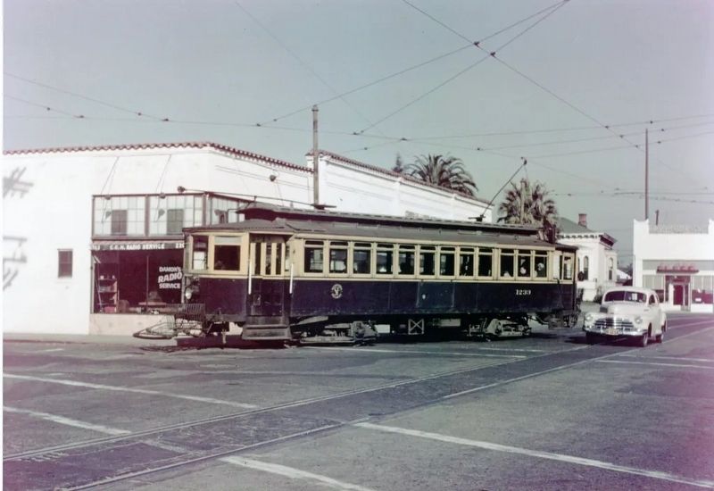
"This period also saw the demise of the legendary 40-line. This interurban route stretched twenty miles from Fifth & Market to downtown San Mateo on the Peninsula and was abandoned without replacement in 1949. The Southern Pacific commuter trains ran alongside much of the way, and unlike MSRy, from which it had inherited the 40-line, Muni had no interest in operating beyond the city limits."(Submitted on September 20, 2022, by Joseph Alvarado of Livermore, California.)
2. San Francisco's 40-line "San Mateo Interurban Car--Minimum Fare 10¢".
"The night was chilly, but the mood was festive for a funeral. It was Saturday, January 15, 1949, and scores had gathered across from the Southern Pacific's San Mateo station at Third Avenue and B Streets. The event was to witness and ride to San Francisco the last cars of San Francisco Municipal Railway's (Muni) route number 40 streetcar, the twenty-one-mile long San Mateo Interurban."(Submitted on September 20, 2022, by Joseph Alvarado of Livermore, California.)
Credits. This page was last revised on September 20, 2022. It was originally submitted on September 20, 2022, by Joseph Alvarado of Livermore, California. This page has been viewed 97 times since then and 11 times this year. Photos: 1, 2, 3, 4, 5. submitted on September 20, 2022, by Joseph Alvarado of Livermore, California.


