Shepherd in San Jacinto County, Texas — The American South (West South Central)
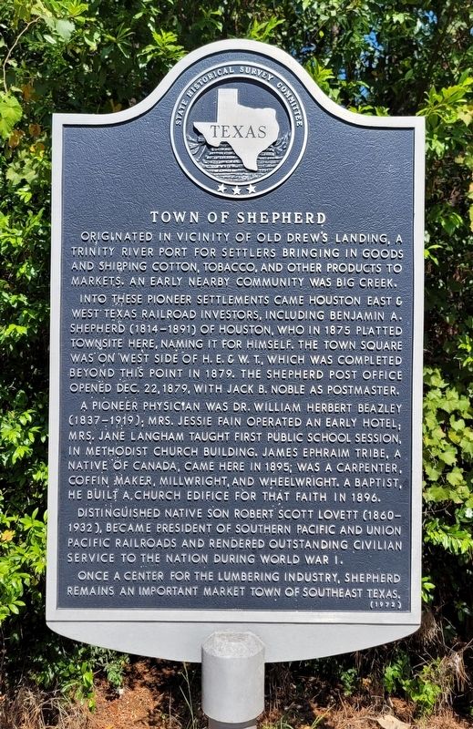
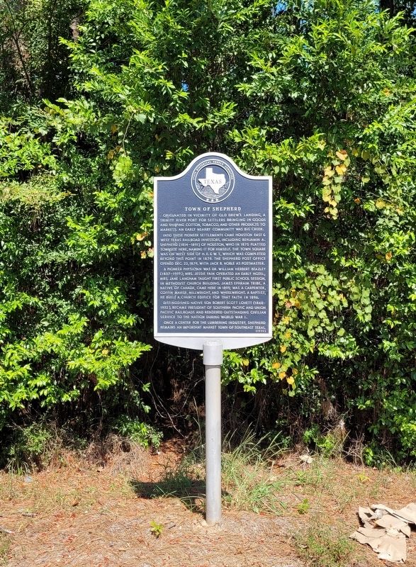
Town of Shepherd
Into these pioneer settlements came Houston East & West Texas railroad investors, including Benjamin A. Shepherd (1814-1891) of Houston, who in 1875 platted townsite here, naming it for himself. The town square was on west side of H.E. & W.T., which was completed beyond this point in 1879. The Shepherd post office opened Dec. 22, 1879, with Jack B. Noble as postmaster.
A pioneer physician was Dr. William Herbert Beazley (1837-1919); Mrs. Jessie Fain operated an early hotel; Mrs. Jane Langham taught first public school session, in Methodist Church building. James Ephraim Tribe, a native of Canada, came here in 1895; was a carpenter, coffin maker, millwright, and wheelwright. A Baptist, he built a church edifice for that faith in 1896.
Distinguished native son Robert Scott Lovett (1860 1932), became president of Southern Pacific and Union Pacific railroads and rendered outstanding civilian service to the nation during World War I.
Once a center for the lumbering industry, Shepherd remains an important market town of southeast Texas.
Erected 1972 by Texas Historical Commission. (Marker Number 7672.)
Topics. This historical marker is listed in these topic lists: Agriculture • Industry & Commerce • Railroads & Streetcars • Settlements & Settlers. A significant historical date for this entry is December 22, 1879.
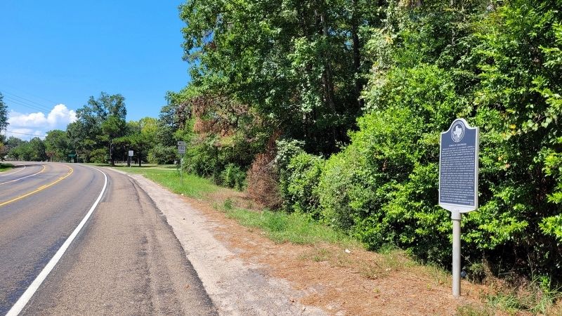
Location. 30° 30.011′ N, 95° 0.115′ W. Marker is in Shepherd, Texas, in San Jacinto County. Marker is at the intersection of Main Street (Farm to Market Road 150) and Myrtie Drive, on the right when traveling west on Main Street. The marker is located on the north side of the highway at a small road pullout. Touch for map. Marker is in this post office area: Shepherd TX 77371, United States of America. Touch for directions.
Other nearby markers. At least 8 other markers are within 10 miles of this marker, measured as the crow flies. Shepherd Methodist Church (about 500 feet away, measured in a direct line); Near Site of Coushatta Indian Village (approx. 2.4 miles away); Goodrich School (approx. 8.1 miles away); The Liberty Hill Church & School (approx. 8˝ miles away); Liberty Hill Fire Tower (approx. 8.6 miles away); Daniel Donahoe Original Homestead (approx. 9.3 miles away); Oak Shade Baptist Church (approx. 9.3 miles away); Early Roads in Polk County (approx. 9.3 miles away). Touch for a list and map of all markers in Shepherd.
Also see . . . Shepherd, TX. Texas State Historical Association
Shepherd is at the intersection of U.S. Highway 59, State Highway 150, and Farm roads 2666 and 222, sixty miles north of Houston in southeastern San Jacinto County. The town was named for Houston banker and landowner B. A. Shepherd, who came to San Jacinto County in 1875 to build a town on the proposed Houston, East and West Texas Railway. Selecting a site near a former Coushatta Indian village, Shepherd laid out a townsite and depot, which subsequently became a local center for sawmilling and agricultural activities. The post office was established in 1879. The population of Shepherd, set at 278 in the 1900 census, grew to 500 during the 1920s before declining to an estimated 350 by the early 1950s.(Submitted on September 24, 2022, by James Hulse of Medina, Texas.)
Credits. This page was last revised on September 24, 2022. It was originally submitted on September 24, 2022, by James Hulse of Medina, Texas. This page has been viewed 204 times since then and 43 times this year. Photos: 1, 2, 3. submitted on September 24, 2022, by James Hulse of Medina, Texas.


