Falls Church, Virginia — The American South (Mid-Atlantic)
The Story of Falls Church
⎯⎯⎯
Settlement 1700 - 1815
Photographed by Devry Becker Jones (CC0), September 24, 2022
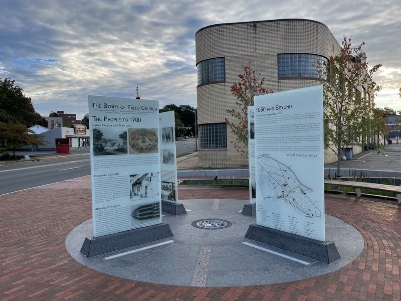
1. The Story of Falls Church side of the marker
The Story of Falls Church
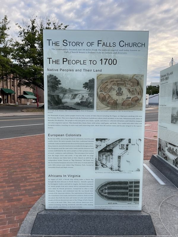
The community located just 10 miles from the nation's capital and today known as Falls Church boasts a history rich in culture and diversity.
The People to 1700
Native Peoples and Their Land
For thousands of years, native peoples lived in the vicinity of Falls Church including the Dogue, an Algonquin speaking tribe near the Potomac River. They were aligned with the Powhatan Confederacy, whose chiefs included, at one time, Wahunsenacawh, father of Matoaka (Pocahontas). The people in this area grew corn, squash, and tobacco; collected wild plants; and fished for sturgeon and migratory species. They hunted deer, bison, bears, wild turkey, small game, and birds. They traded with other tribes and European settlers, traveling via water ways and connecting trails, which were the earliest routes and became integral to the region's history.
European Colonists
By the late 1600s, increasing European settlements, hostility, and conflict drove the native peoples from their traditional lifestyle and lands. Some assimilated into these new European communities. Many, however, moved to land not yet
this page online
Africans in Virginia
In August of 1619, a British ship sailing under a Dutch flag brought the first Africans to North America. Initially captured by Portuguese traders and held in Angola, the brutal treatment of twenty people from west central Africa continued when they were taken by British privateers, transported to what is now Hampton, Virginia, and condemned into the race-based slave system of the American colonies. The exploitation of Africans for the transatlantic slave trade continued for centuries. Early records document that both free men and women of color and
Photographed by Devry Becker Jones (CC0), September 24, 2022
2. Settlement 1700 - 1815 side of the marker
Settlement 1700 - 1815
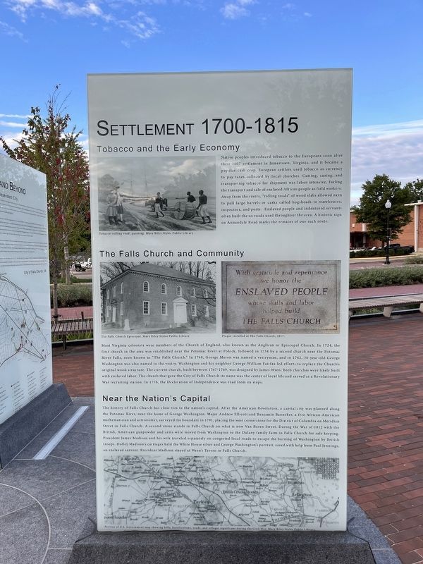
Tobacco and the Early Economy
Native peoples introduced tobacco to the Europeans soon after their 1607 settlement in Jamestown, Virginia, and it became a popular cash crop. European settlers used tobacco as currency to pay taxes collected by local churches. Cutting, curing and transporting tobacco for shipment was labor-intensive, fueling the transport and sale of enslaved African people as field workers. Away from the rivers, "rolling roads" of wood slabs allowed oxen to pull large barrels or casks called hogsheads to warehouses, inspectors, and ports. Enslaved people and indentured servants often built the ox roads used throughout the area. A historic sign on Annandale Road marks the remains of one such route.
The Falls Church and Community
Most Virginia colonists were members of the Church of England, also known as the Anglican or Episcopal Church.
Photographed by Devry Becker Jones (CC0), September 24, 2022
3. The Story of Falls Church side of the marker
Near the Nation's Capital
The history of Falls Church has close ties to the nation's capital. After the American Revolution, a capital city was planned along the Potomac River, near the home of George Washington. Major Andrew Ellicott and Benjamin Banneker, a free African American mathematician and astronomer, surveyed the boundary in 1791, placing the west cornerstone for the District of Columbia on
Photographed by Devry Becker Jones (CC0), September 24, 2022
4. Settlement 1700 - 1815 side of the marker
Erected 2022 by City of Falls Church, Virginia.
Topics and series. This historical marker is listed in these topic lists: African Americans • Indigenous Peoples and Communities • Roads & Vehicles • Settlements & Settlers. In addition, it is included in the Former U.S. Presidents: #01 George Washington, the Former U.S. Presidents: #04 James Madison, and the Original Federal Boundary Stones series lists. A significant historical month for this entry is August 1619.
Location. 38° 52.8′ N, 77° 10.476′ W. Marker is in Falls Church, Virginia. It is at the intersection of South Washington Street (U.S. 29) and Hillwood Avenue (Virginia Route 338), on the right when traveling north on South Washington Street. Touch for map. Marker is at or near this postal address: 336 S Washington St, Falls Church VA 22046, United States of America. Touch for directions.

Regionally, this marker is in the Washington Metropolitan Area and in Northern Virginia. It is also in the American South, specifically in the Upper South, and in the Mid-Atlantic. Globally, it is in North America, the Western Hemisphere, the Western World, and the Anglosphere. Historically, it finds itself in what was once the territory of the Mississippian Culture, one of the original Thirteen Colonies, one of the Confederate States of America, and the Antebellum South.
Other nearby markers. At least 8 other markers are within walking distance of this marker: The Emerging City 1920 - 1950 / 1950 and Beyond (here, next to this marker); Virginia Village 1815 - 1861 / Civil War 1861 - 1865 (here, next to this marker); Rebuilding 1865 - 1890 / Turn of the 20th Century 1890 - 1920 (here, next to this marker); Mary Elizabeth Tinner (about 400 feet away, measured in a direct line); Mary Tinner (about 400 feet away); Annie Henderson Briggs (about 400 feet away); Fran Richardson (about 400 feet away); Marie Hirst Yochim (about 400 feet away). Touch for a list and map of all markers in Falls Church.
Another marker is no longer nearby. Henderson House (was about 400 feet away but has been confirmed missing).
Additional keywords. human trafficking
Credits. This page was last revised on May 10, 2023. It was originally submitted on September 24, 2022, by Devry Becker Jones of Washington, District of Columbia. This page has been viewed 518 times since then and 50 times this year. Photos: 1, 2, 3, 4. submitted on September 24, 2022, by Devry Becker Jones of Washington, District of Columbia.
