Medicine Hat in Cypress County, Alberta — Canada’s Prairie Region (North America)
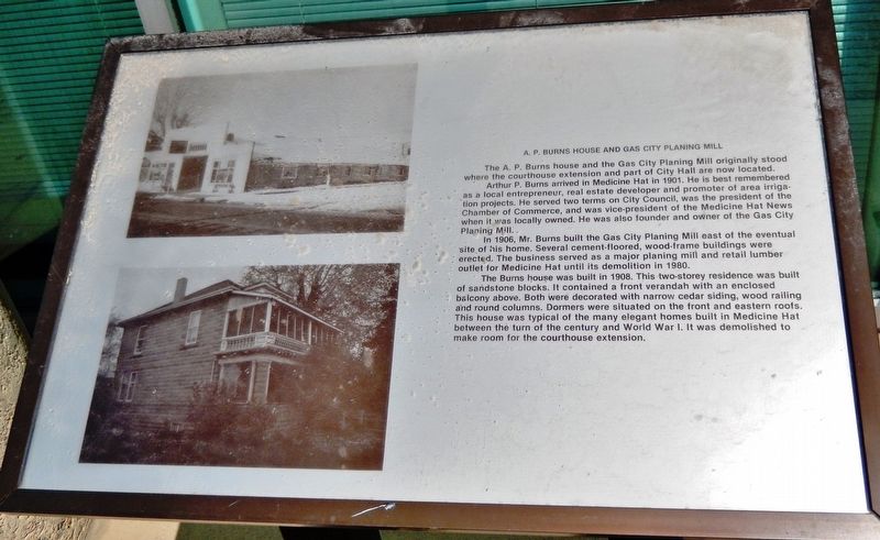
A. P. Burns House and Gas City Planing Mill
Arthur P. Burns arrived in Medicine Hat in 1901. He is best remembered as a local entrepreneur, real estate developer and promoter of area irrigation projects. He served two terms on City Council, was the president of the Chamber of Commerce, and was vice-president of the Medicine Hat News when it was locally owned. He was also founder and owner of the Gas City Planing Mill.
In 1906, Mr. Burns built the Gas City Planing Mill east of the eventual site of his home. Several cement-floored, wood-frame buildings were erected. The business served as a major planing mill and retail lumber outlet for Medicine Hat until its demolition in 1980.
The Burns house was built in 1908. This two-storey residence was built of sandstone blocks. It contained a front verandah with an enclosed balcony above. Both were decorated with narrow cedar siding, wood railing and round columns. Dormers were situated on the front and eastern roofs. This house was typical of the many elegant homes built in Medicine Hat between the turn of the century and World War I. It was demolished to make room for the courthouse extension.
Topics. This historical marker is listed in these topic lists: Architecture • Industry & Commerce • Settlements & Settlers. A significant historical year for this entry is 1901.
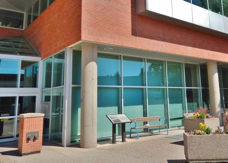
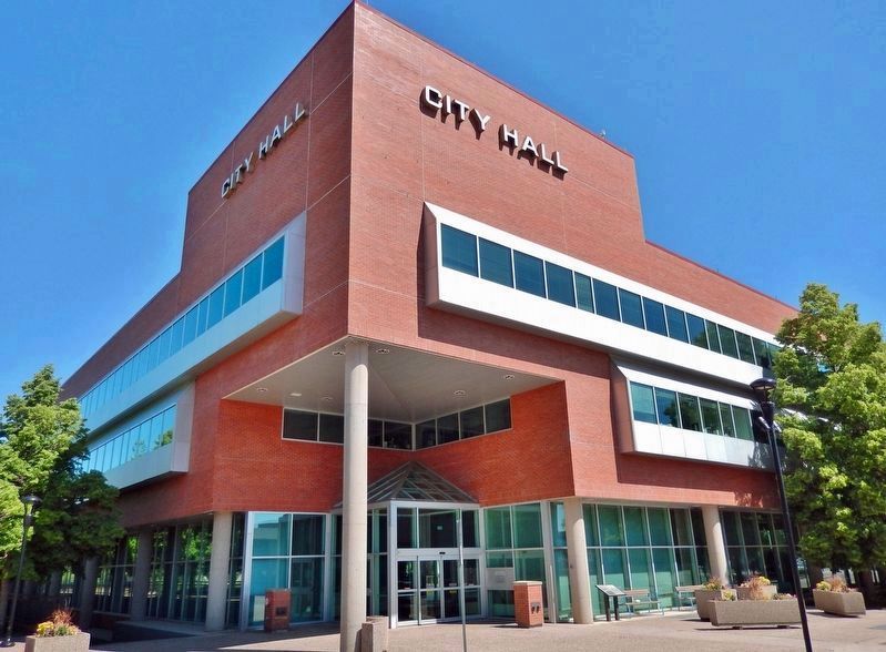
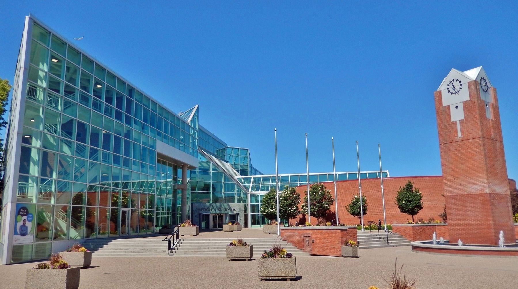
Location. 50° 2.471′ N, 110° 40.699′ W. Marker is in Medicine Hat, Alberta, in Cypress County. Marker is on 1 Street Southeast (Provincial Highway 41A) 0.1 kilometers west of 6 Avenue Southeast, on the right when traveling west. Marker is located along the walkway at the southwest corner of the Medicine Hat City Hall complex. Touch for map. Marker is at or near this postal address: 580 1 Street Southeast, Medicine Hat AB T1A 8E6, Canada. Touch for directions.
Other nearby markers. At least 8 other markers are within walking distance of this marker. Site of Medicine Hat's First Radio Station (within shouting distance of this marker); Central Motors, Empress Theater, Medicine Hat News (about 90 meters away, measured in a direct line); Finlay Bridge (about 90 meters away); a different marker also named Finlay Bridge (about 90 meters away); River Road — "Gunter's Folly" (about 90 meters away); Courthouse (about 120 meters away); St. John's Presbyterian Church (about 120 meters away); Medicine Hat Veterans Memorial (about 150 meters away). Touch for a list and map of all markers in Medicine Hat.
Also see . . . Arthur Parsons Burns (Find A Grave). (Submitted on September 24, 2022, by Cosmos Mariner of Cape Canaveral, Florida.)
Credits. This page was last revised on September 28, 2022. It was originally submitted on September 24, 2022, by Cosmos Mariner of Cape Canaveral, Florida. This page has been viewed 100 times since then and 22 times this year. Photos: 1, 2, 3, 4. submitted on September 24, 2022, by Cosmos Mariner of Cape Canaveral, Florida.


