Redwood City in San Mateo County, California — The American West (Pacific Coastal)
Mezesville
1850-1900
— Stanford | Redwood City —
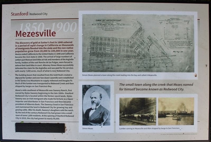
The discovery of gold at Sutter’s Fort in 1848 ushered in a period of rapid change in California as thousands of immigrants flooded into the state and the non-native population grew from 20,000 to 100,000 in one year. Mexico ceded California to the United States in 1848 and California became the 31st state in 1850. The arrival of large numbers of settlers put Mexican land titles at risk and members of the Argüello family, holders of the vast Rancho de las Pulgas, were forced to defend their land titles in court. Attorney Simon Mezes successfully defended the claim for the Argüellos and was paid for his services with nearly 7,000 acres, much of what is now Redwood City.
The building boom that resulted from the Gold Rush created a demand for lumber and over two dozen sawmills were established in the Santa Cruz Mountains to supply redwood and Douglas fir. Much of this lumber was transported to Redwood Creek and then shipped by barges on San Francisco Bay.
About a mile southwest of Mezesville was Sweeny Ranch, first owned by Myles Sweeny beginning in the late 1800s. Stanford Redwood City is located within the former ranch lands. Myles Sweeny was an Irish immigrant who made his fortune as a liquor importer and distributor in San Francisco and then became president of Hibernia Bank. The Sweenys lived in San Francisco and maintained the land in Redwood City for growing hay and grazing cattle. After his death, Sweeny’s daughters sold the ranch. By the end of the century Redwood City had grown into a small town of some 1,600 residents. At the opening of Stanford Redwood City in 2019, the city had grown to nearly 90,000.
The small town along the creek that Mezes named for himself became known as Redwood City
(There is a small panel in braille below the main text)
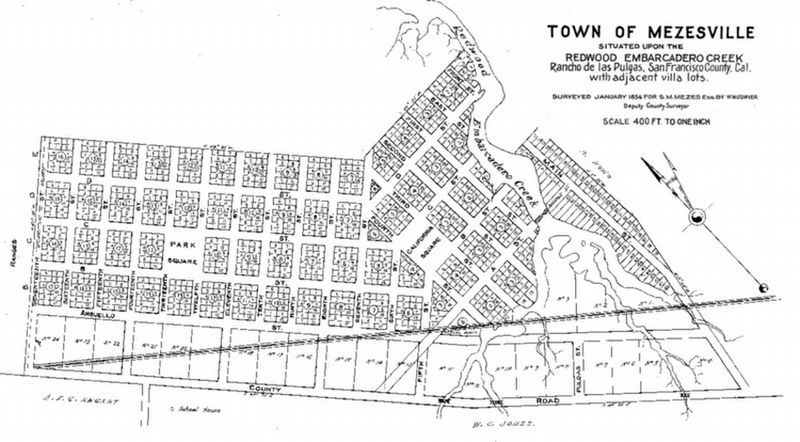
Images: (Top) Simon Mezes planned a town along the creek leading into the bay and called it Mezesville.
(Bottom Left) Simon Mezes
(Bottom Right) Lumber coming to Mezesville and then shipped by barge to San Francisco.
Erected by Stanford University.
Topics. This historical marker is listed in these topic lists: Immigration • Industry & Commerce • Settlements & Settlers • Waterways & Vessels. A significant historical year for this entry is 1848.
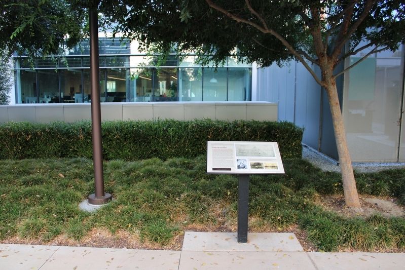
Location. 37° 29.094′ N, 122° 12.2′ W. Marker is in Redwood City, California, in San Mateo County. Marker can be reached from Broadway near Warrington Avenue. The resin marker, one of eight, is mounted to a metal stand in the courtyard west of Discovery Hall on the Stanford Redwood City campus. Touch for map. Marker is at or near this postal address: 455 Broadway, Redwood City CA 94063, United States of America. Touch for directions.
Other nearby markers. At least 8 other markers are within 2 miles of this marker, measured as the crow flies. Horticultural Heritage (a few steps from this marker); Alta California (a few steps from this marker); Airfield (a few steps from this marker); Native Americans (a few steps from this marker); Ampex Years (a few steps from this marker); Pleistocene Period (within shouting distance of this marker); Historic Connection (within shouting distance of this marker); Stage Station (approx. 1.2 miles away). Touch for a list and map of all markers in Redwood City.
Also see . . . Redwood City History. City website entry (Submitted on September 26, 2022, by Joseph Alvarado of Livermore, California.)
Credits. This page was last revised on November 22, 2022. It was originally submitted on September 24, 2022, by Joseph Alvarado of Livermore, California. This page has been viewed 199 times since then and 48 times this year. Photos: 1, 2, 3, 4. submitted on September 26, 2022, by Joseph Alvarado of Livermore, California.


