Woodbridge in Prince William County, Virginia — The American South (Mid-Atlantic)
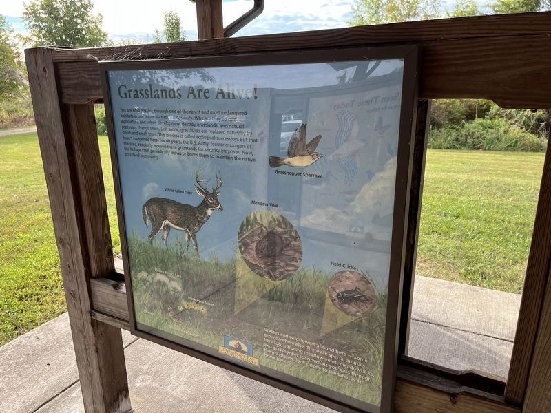
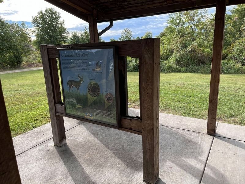
Grasslands Are Alive!
Erected by Chesapeake Bay Gateways Network.
Topics. This historical marker is listed in these topic lists: Environment • Military.
Location. 38° 38.693′ N, 77° 14.257′ W. Marker is in Woodbridge, Virginia, in Prince William County. Marker is on Dawson Beach Road, 0.6 miles east of Highams Court, on the right when traveling east. Touch for map. Marker is at or near this postal address: 14050 Dawson Beach Rd, Woodbridge VA 22191, United States of America. Touch for directions.
Other nearby markers. At least 8 other markers are within 2 miles of this marker, measured as the crow flies. East Coast Radio Transmitting Station (about 500 feet away, measured in a direct line); Occoquan Bay National Wildlife Refuge Bird Banding Station (approx. 0.3 miles away); Welcome to Occoquan Bay National Wildlife Refuge (approx. half a mile away); The Nation's River (approx. 0.7 miles away); End of the Water (approx. 0.8 miles away); A Near Tragedy (approx. 1.4 miles away); Colchester (approx. 1.7 miles away); Delaying Tactics (approx. 2 miles away). Touch for a list and map of all markers in Woodbridge.

Photographed By Devry Becker Jones (CC0), September 24, 2022
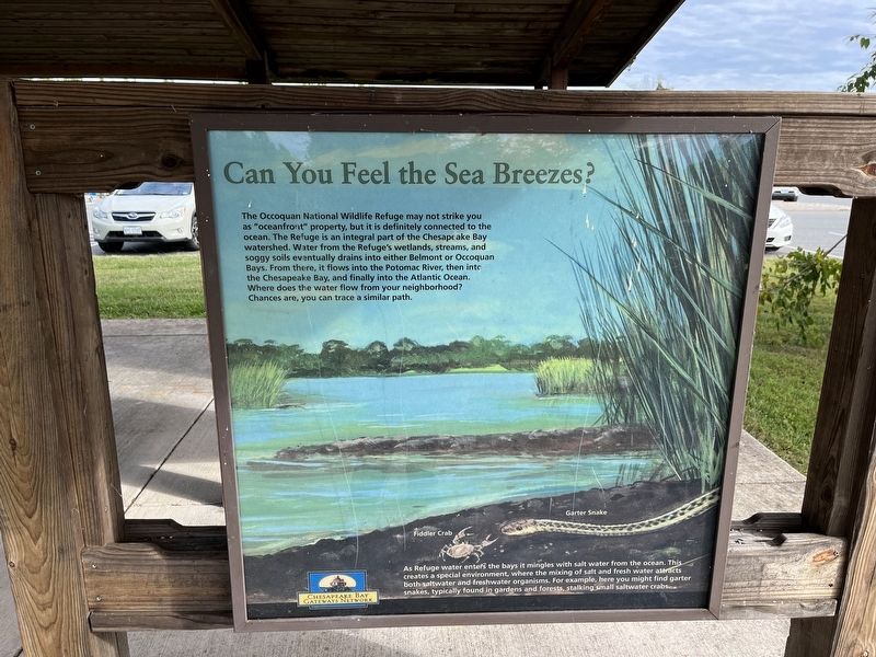
2. Can You Feel the Sea Breezes?
Sign on the reverse side of the display. It features no historical information.
Credits. This page was last revised on September 25, 2022. It was originally submitted on September 24, 2022, by Devry Becker Jones of Washington, District of Columbia. This page has been viewed 73 times since then and 7 times this year. Photos: 1, 2, 3. submitted on September 24, 2022, by Devry Becker Jones of Washington, District of Columbia.

