Woodbridge in Prince William County, Virginia — The American South (Mid-Atlantic)
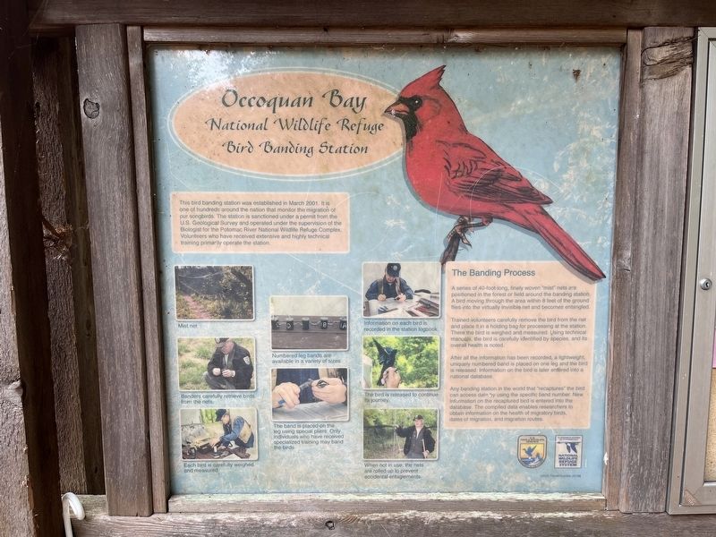
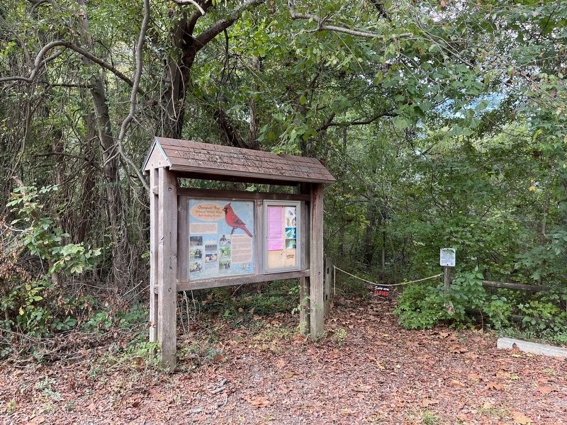
Occoquan Bay National Wildlife Refuge Bird Banding Station
Photographed by Devry Becker Jones (CC0), September 24, 2022
1. Occoquan Bay National Wildlife Refuge Bird Banding Station Marker
This bird banding station was established in March 2001. It is one of hundreds around the nation that monitor the migration of our songbirds. The station is sanctioned under a permit from the U.S. Geological Survey and operated under the supervision of the Biologist for the Potomac River National Wildlife Refuge Complex. Volunteers who have received extensive and highly technical training primarily operate the station.
The Banding Process
A series of 40-foot-long, finely woven "mist" nets are positioned in the forest or field around the banding station. A bird moving through the area within 8 feet of the ground flies into the virtually invisible net and becomes entangled.
Trained volunteers carefully remove the bird from the net and place it in a holding bag for processing at the station. There the bird is weighed and measured. Using technical manuals, the bird is carefully identified by species, and its overall health is noted.
After all the information has been recorded, a lightweight, uniquely numbered band is placed on one leg and the bird is released. Information on the bird is later entered into a national
this page online
Any banding station in the world that "recaptures" the bird can access data by using the specific band number. New information on the recaptured bird is entered into the database. The compiled data enables researchers to obtain information on the health of migratory birds, dates of migration, and migration routes.
Erected by Fish & Wildlife Service, U.S. Department of the Interior.
Topics. This historical marker is listed in these topic lists: Animals • Communications • Science & Medicine. A significant historical month for this entry is March 2001.
Location. 38° 38.431′ N, 77° 14.345′ W. Marker is in Woodbridge, Virginia, in Prince William County. It can be reached from Dawson Beach Road half a mile east of Highams Court, on the right when traveling east. Touch for map. Marker is in this post office area: Woodbridge VA 22191, United States of America. Touch for directions.

Regionally, this marker is in the Washington Metropolitan Area, in Northern Virginia, and in the Piedmont. It is also in the American South, specifically in the Upper South, in the Mid-Atlantic, and on the Eastern Seaboard. Globally, it
Photographed by Devry Becker Jones (CC0), September 24, 2022
2. Occoquan Bay National Wildlife Refuge Bird Banding Station Marker
Other nearby markers. At least 8 other markers are within 2 miles of this marker, measured as the crow flies: East Coast Radio Transmitting Station (approx. 0.3 miles away); Grasslands Are Alive! (approx. 0.3 miles away); Welcome to Occoquan Bay National Wildlife Refuge (approx. 0.7 miles away); The Nation's River (approx. one mile away); End of the Water (approx. 1.2 miles away); A Near Tragedy (approx. 1.7 miles away); Revolutionary Soldiers Spence and William Grayson (approx. 2 miles away); Spence and William Grayson (approx. 2 miles away). Touch for a list and map of all markers in Woodbridge.
Other markers no longer nearby. Early Land Patents (was approx. 1.7 miles away but has been permanently removed); Occoquan (was approx. 1.7 miles away but has been permanently removed); The First Courthouse of Prince William County (was approx. 1.7 miles away but has been permanently removed); Fairfax County / Prince William County (was approx. 1.7 miles away but has been permanently removed).
Credits. This page was last revised on September 24, 2022. It was originally submitted on September 24, 2022, by Devry Becker Jones of Washington, District of Columbia. This page has been viewed 410 times since then and 21 times this year. Photos: 1, 2. submitted on September 24, 2022, by Devry Becker Jones of Washington, District of Columbia.
