Medicine Hat in Cypress County, Alberta — Canada’s Prairie Region (North America)
Historical Reflections
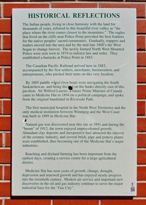
The Indian people, living in close harmony with the land for thousands of years, referred to this beautiful river valley as "the place where the river comes closest to the mountains." The eagles that lived on the cliffs near Police Point provided the best feathers for the native peoples' sacred ceremonies. Gradually, trappers and traders moved into the area and by the mid-late 1800's the West began to change forever. The newly formed North West Mounted Police were sent west in 1874 to enforce law and order. They established a barracks at Police Point in 1883.
The Canadian Pacific Railroad arrived here in 1883, accompanied by the first settlers, merchants, businessmen, and entrepreneurs, who pitched their tents on this very location.
By 1885 paddle wheel river boats were navigating the South Saskatchewan and being docked on the banks directly east of this pavilion. Sir Wilfred Laurier, a future Prime Minister of Canada came to Medicine Hat in 1894 on a political campaign, and spoke from the original bandstand in Riverside Park.
The first municipal hospital in the North West Territories and the only medical institution between Winnipeg and the West Coast was built in 1889 in Medicine Hat.
Natural gas was discovered near this site in 1891 and during the "boom" of 1912, the town enjoyed unprecedented growth. Abundant clay deposits and inexpensive fuel attracted the interest of the ceramic industry, and several brick, pipe and pottery plants were established, thus becoming one of the Medicine Hat's major industries.
Ranching and dryland farming has been important from the earliest days, creating a service centre for a large agricultural district.
Medicine Hat has seen years of growth, change, drought, depression and renewed growth and has enjoyed steady progress into the twentieth century. Modern air service and important new discoveries in the oil and gas industry continue to serve the major industrial base for the "Gas City".
Topics. This historical marker is listed in these topic lists: Industry & Commerce • Native Americans • Railroads & Streetcars • Settlements & Settlers. A significant historical date for this entry is June 19, 1988.
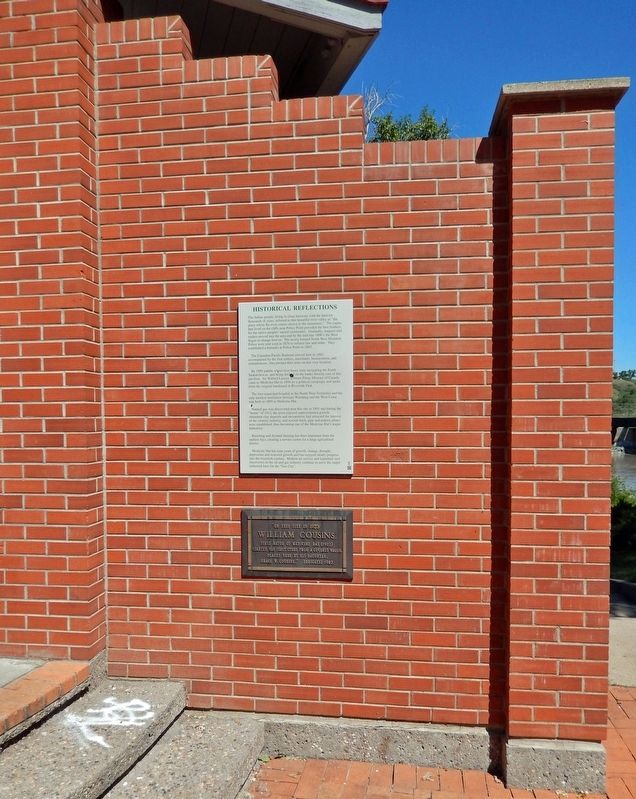
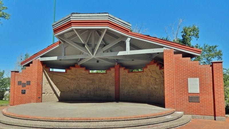
Location. 50° 2.539′ N, 110° 40.568′ W. Marker is in Medicine Hat, Alberta, in Cypress County. Marker can be reached from 1 Street Southeast (Provincial Highway 41A) just east of 6 Avenue Southeast, on the left when traveling east. Marker is mounted at eye-level on the right-front side of the Riverside Veterans' Memorial Park bandshell. Touch for map. Marker is in this post office area: Medicine Hat AB T1A T1A, Canada. Touch for directions.
Other nearby markers. At least 8 other markers are within walking distance of this marker. Dutch Canadian Society of Medicine Hat and District (a few steps from this marker); Canadian Pacific Railway
(within shouting distance of this marker); Medicine Hat Flood Memorial (within shouting distance of this marker); Medicine Hat WW I 1914 - 1918 Veterans Memorial (within shouting distance of this marker); Medicine Hat Sherman Tank (within shouting distance of this marker); Medicine Hat Veterans Memorial (within shouting distance of this marker); Central Motors, Empress Theater, Medicine Hat News (about 120 meters away, measured in a direct line); Finlay Bridge (about 120 meters away). Touch for a list and map of all markers in Medicine Hat.
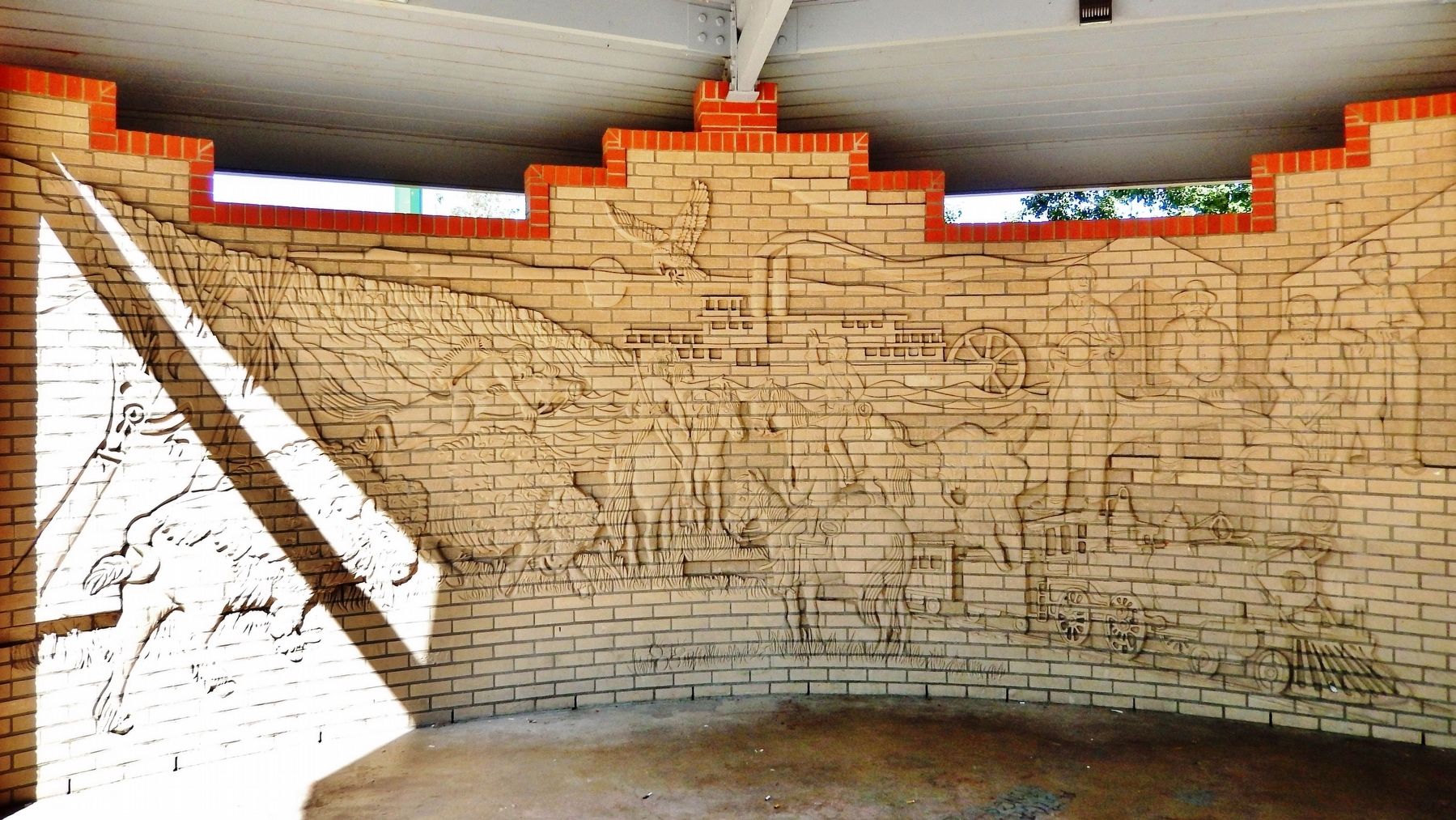
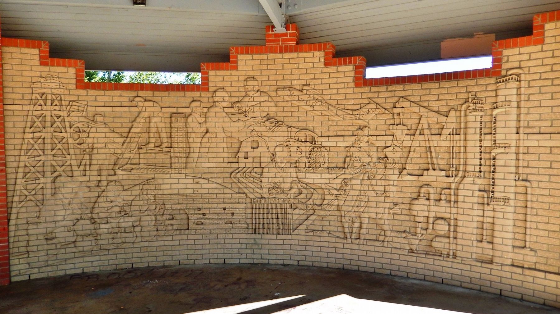
Regarding Historical Reflections. The interior of the back walls of the bandshell, (the "James Marshall Heritage Wall"), are covered with brick and ceramic mural artwork symbolically illustrating this Medicine Hat history.
Also see . . .
1. Medicine Hat History. City website entry:
In 1883, the Canadian Pacific Railway (CPR) stopped to build a bridge across the South Saskatchewan River and a tent town was born. With the arrival of the railroad came the Northwest Mounted Police. They maintained law and order among the railway workers and First Nation's people of the area and made Medicine Hat a law-abiding town. In the CPR's search for water, their drills accidentally struck gas west of the town, heralding the exploration that mapped out one of the largest gas fields in North America.(Submitted on September 25, 2022, by Cosmos Mariner of Cape Canaveral, Florida.)
2. James A. Marshall. Government of Alberta website entry:
The art of Jim Marshall, including drawings, ceramics, sculptures and murals, offers an eloquent description of life in Alberta. His artistic endeavours and his work in historic preservation also stand as testaments to the importance of safeguarding our valuable community landmarks. Jim’s landmark murals and monuments, more than 200 in total, can be found in Medicine Hat, throughout Alberta and Canada and overseas.(Submitted on September 25, 2022, by Cosmos Mariner of Cape Canaveral, Florida.)
Photographed By Cosmos Mariner, June 26, 2022
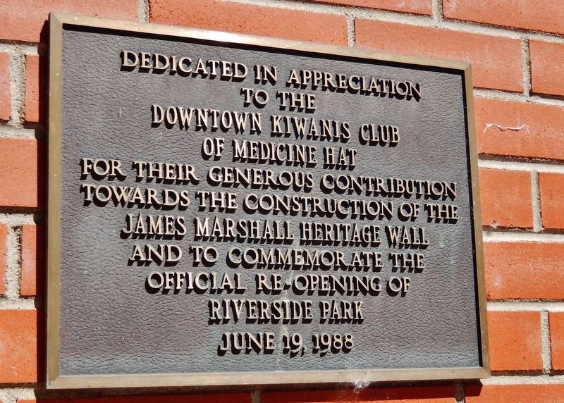
4. James Marshall Heritage Wall Dedication
Riverside Veterans' Memorial Park bandshell)
Dedicated in appreciation
to the
Downtown Kiwanis Club
of Medicine Hat
for their generous contribution
towards the construction of the
James Marshall Heritage Wall
and to commemorate the
official re-opening of
Riverside Park
June 19, 1988
Credits. This page was last revised on June 5, 2023. It was originally submitted on September 25, 2022, by Cosmos Mariner of Cape Canaveral, Florida. This page has been viewed 73 times since then and 10 times this year. Photos: 1, 2, 3, 4, 5, 6. submitted on September 25, 2022, by Cosmos Mariner of Cape Canaveral, Florida.
