Salem in Roanoke County, Virginia — The American South (Mid-Atlantic)
William Howard Thompson
March 19, 1940 - April 5, 1970
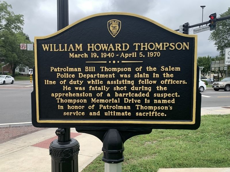
Photographed by Tim Fillmon, August 16, 2022
1. William Howard Thompson Marker
Erected by Salem Police Department.
Topics. This historical marker is listed in this topic list: Law Enforcement. A significant historical date for this entry is April 5, 1970.
Location. 37° 17.64′ N, 80° 3.16′ W. Marker is in Salem, Virginia, in Roanoke County. It is at the intersection of Thompson Memorial Drive (Virginia Route 311) and East Main Street ( Route 460), on the right when traveling south on Thompson Memorial Drive. Touch for map. Marker is at or near this postal address: 305 East Main Street, Salem VA 24153, United States of America. Touch for directions.

Regionally, this marker is in the Mountain Region and in Southwest Virginia. It is also in the American South and specifically in the Upper South. Globally, it is in North America, the Western Hemisphere, the Western World, and the Anglosphere. Historically, it finds
this page online
Other nearby markers. At least 8 other markers are within walking distance of this marker: Roanoke College Statement of Context (about 600 feet away, measured in a direct line); Roanoke County Confederate Monument (about 600 feet away); East Hill Cemetery North (about 700 feet away); Kim Kyusik (about 700 feet away); The John R. Turbyfill '53 Quadrangle (approx. 0.2 miles away); Roanoke College Administration Building (approx. 0.2 miles away); Sgt. James Walton (approx. 0.2 miles away); Andrew Lewis’ Grave (approx. 0.2 miles away). Touch for a list and map of all markers in Salem.
Also see . . . Patrolman William Howard Thompson Memorial Page. (Submitted on September 25, 2022, by Tim Fillmon of Webster, Florida.)
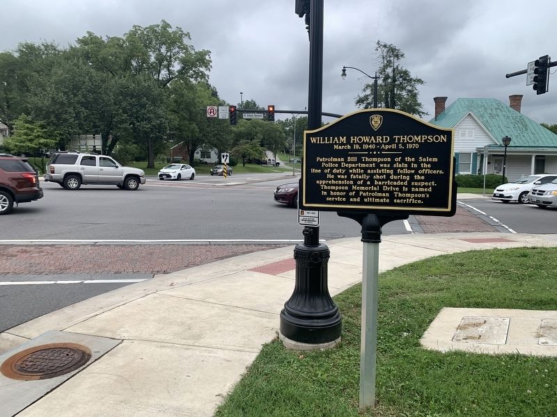
Photographed by Tim Fillmon, August 16, 2022
2. William Howard Thompson Marker
Looking south
Credits. This page was last revised on September 25, 2022. It was originally submitted on September 25, 2022, by Tim Fillmon of Webster, Florida. This page has been viewed 538 times since then and 64 times this year. Photos: 1, 2. submitted on September 25, 2022, by Tim Fillmon of Webster, Florida.
