Redwood City in San Mateo County, California — The American West (Pacific Coastal)
Alta California
1795-1848

Photographed by Joseph Alvarado, September 9, 2022
1. Alta California Marker
Spain claimed Alta California after its conquest of Mexico (1519-1521) When reports of British and Russian encroachment in Northern California began to circulate in the 1760s, Spain expanded its colonial settlements to defend the California coast. Spanish colonialism relied upon the building of a fort (presidio) and a religious-economic mission (mission). Today’s Redwood City was located midway between Mission San Francisco de Asís (today’s Mission Dolores) at San Francisco and Mission Santa Clara de Asís at Santa Clara.
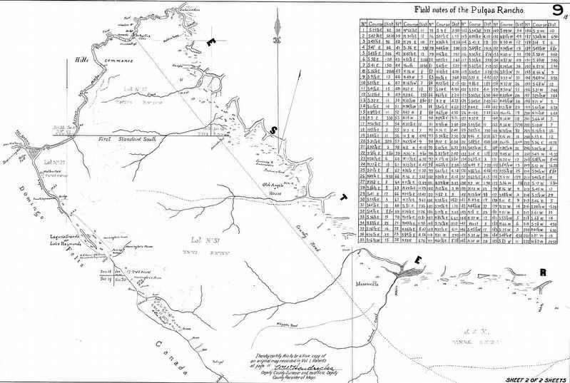
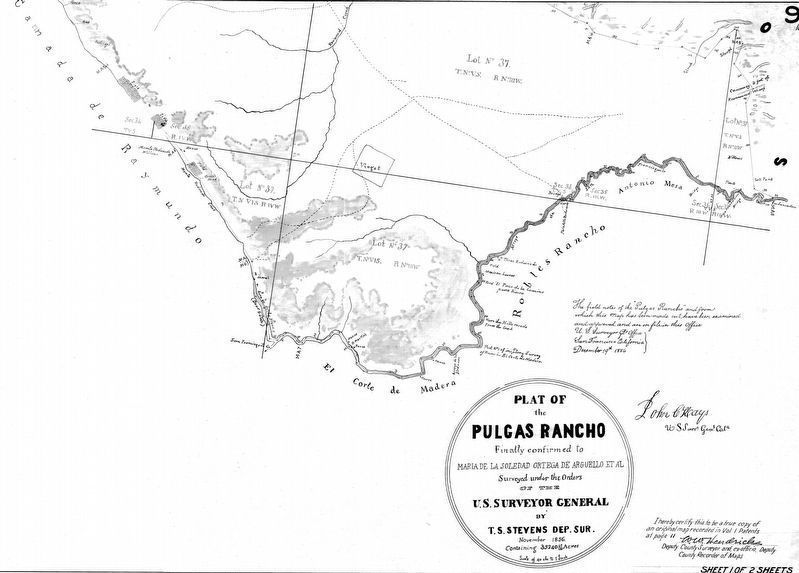
Don José Dario Argüello was awarded a 69,000-acre land grant for his military service to the Spanish crown in 1795 and was appointed governor in 1814. One section of the rancho stretched along the California coast from Point Año Nuevo to Point San Pedro. The second grant, at 35,420 acres, was bounded by San Mateo Creek to the north, San Francisquito Creek to the south, San Francisco Bay to the east and the Coast Range Mountains to the west. It was known as Rancho de las Pulgas (Ranch of the Fleas). Cattle and horses were raised on the land, which today encompasses Stanford Redwood City. The Argüellos also
this page online
(There is a small panel in braille below the main text)
Images:
(Top) The Argüello family lived most of the year in San Francisco as travel to the Rancho de las Pulgas was difficult and sometimes dangerous in the early years of the Spanish colonial era. Argüello’s daughter-in-law Dona Maria Soledad Ortega de Arguello inherited the Rancho de las Pulgas and moved to San Carlos after her husband’s death. Dona Argüello was forced to defend her land claims in court when California became part of the United State in 1848. She paid her lawyer, Simon Mezes, with a portion of the rancho lands that later became Redwood City, including the Stanford Redwood City site.
(Bottom Left) Statue of Dona Argüello at the Redwood City train station.
(Bottom Right) Actors Carmen Argüello and Mariquita Derby appeared together in the play “The Madonna of Monterey” in 1930.
Erected by Stanford University.
Topics. This historical marker is listed in these topic lists: Exploration • Immigration • Settlements & Settlers. A significant historical year for this entry is 1795.
Location. 37° 29.099′ N,

Photographed by Joseph Alvarado, September 9, 2022
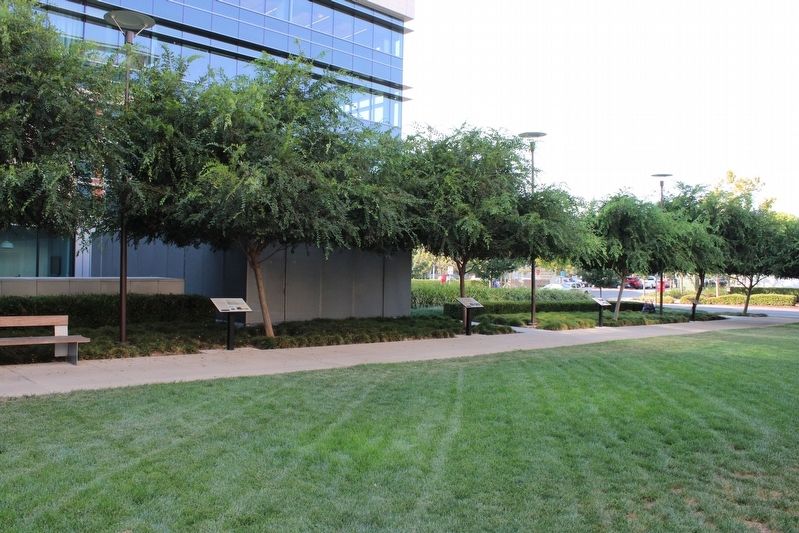
2. Alta California Marker

Regionally, this marker is in the San Francisco Bay Area, in Silicon Valley, and on the Coast Ranges. It is also on the American Pacific Coast. Globally, it is in North America, on the Ring of Fire, on the Pacific Rim, in the Western Hemisphere, in the Western World, and in the Anglosphere. Historically, it finds itself in what was once New Spain and also Mexico’s Alta California.
Other nearby markers. At least 8 other markers are within 2 miles of this marker, measured as the crow flies: Airfield (a few steps from this marker); Mezesville (a few steps from this marker); Native Americans (a few steps from this marker); Horticultural Heritage (a few steps from this marker); Ampex Years (a few steps
Photographed by Joseph Alvarado, September 9, 2022
3. Alta California Marker
Also see . . . Redwood City History. City website entry (Submitted on September 26, 2022, by Joseph Alvarado of Livermore, California.)
Photographed by en.wikipedia.org/wiki/Rancho_de_las_Pulgas
4. Rancho de las Pulgas Map (North)
Photographed by Joseph Alvarado
5. Rancho de las Pulgas Map (South)
Plat of the Pulgas Rancho finally confirmed to Maria de la Soledad Ortega de Arguello et al. Surveyed under the orders of the U.S. Surveyor General by T.S. Stevens Dep.Sur, November 1856, containing 35240 47/100 Acres. Scale of 40 chs to 1 Inch
Credits. This page was last revised on November 22, 2022. It was originally submitted on September 26, 2022, by Joseph Alvarado of Livermore, California. This page has been viewed 406 times since then and 61 times this year. Photos: 1, 2, 3, 4, 5. submitted on September 26, 2022, by Joseph Alvarado of Livermore, California.
