
Aurora in Hamilton County, Nebraska — The American Midwest (Upper Plains)
Deep Well Irrigation
Photographed by Cosmos Mariner, August 23, 2022
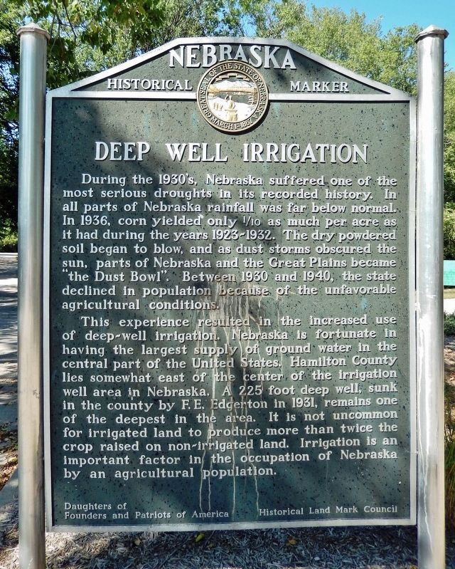
1. Deep Well Irrigation Marker
During the 1930’s, Nebraska suffered one of the most serious droughts in its recorded history. In all parts of Nebraska rainfall was far below normal. In 1936, corn yielded only 1/10 as much per acre as it had during the years 1923-1932. The dry powdered soil began to blow, and as dust storms obscured the sun, parts of Nebraska and the Great Plains became “the Dust Bowl.” Between 1930 and 1940, the state declined in population because of the unfavorable agricultural conditions.
This experience resulted in the increased use of deep-well irrigation. Nebraska is fortunate in having the largest supply of groundwater in the central part of the United States. Hamilton County lies somewhat east of the center of the irrigation well area in Nebraska. A 225 foot deep well, sunk in the county by F. E. Edgerton in 1931, remains one of the deepest in the area. It is not uncommon for irrigated land to produce more than twice the crop raised on non-irrigated land. Irrigation is an important factor in the occupation of Nebraska by an agricultural population.
Erected by Daughters of Founders and Patriots of America; and Historical
this page online
Topics and series. This historical marker is listed in this topic list: Agriculture. In addition, it is included in the Nebraska State Historical Society series list. A significant historical year for this entry is 1931.
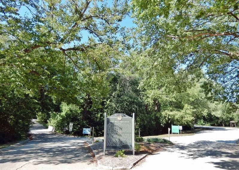
Location. 40° 52.37′ N, 98° 0.201′ W. Marker is in Aurora, Nebraska, in Hamilton County. It can be reached from the intersection of Q Street (US HWY 34) (Alternate Interstate 80) and 12th Street, on the right when traveling west. Marker is located in Streeter Park, just inside the south entrance at 12th Street. Touch for map. Marker is at or near this postal address: 1225 Q Street, Aurora NE 68818, United States of America. Touch for directions.

Regionally, this marker is in Eastern Nebraska and in Greater Grand Island. It is also in the American Midwest, in the Corn Belt, and on the prairies. Globally, it is in North America, the Western Hemisphere, the Western World, and the Anglosphere. Historically, it finds itself in what was once the Louisiana Purchase.
Other nearby markers. At least 8 other markers are within walking distance of this marker: Site of Camp Hamilton
Photographed by Cosmos Mariner, August 23, 2022
2. Deep Well Irrigation Marker (inside Streeter Park)
Regarding Deep Well Irrigation. Irrigation is a vital component of Nebraska’s productive agricultural economy. Its significance continues to grow. It begins with the High Plains Aquifer, also known as the Ogallala Aquifer, one of the world’s largest aquifers. While it stretches across eight states, from South Dakota into Texas, a major portion lies in Nebraska. As of 2007, Nebraska had 8.56 million irrigated acres. Of approximately 55 million acres under irrigation nationally, about 15% are located in Nebraska.
Also see . . . Nebraska State Irrigation Association. Website homepage (Submitted on December 28, 2024, by Larry Gertner of New York, New York.)
Credits. This page was last revised on December 28, 2024. It was originally submitted on September 26, 2022, by Cosmos Mariner of Cape Canaveral, Florida. This page has been viewed 341 times since then and 29 times this year. Photos: 1, 2. submitted on September 26, 2022, by Cosmos Mariner of Cape Canaveral, Florida.
