Charlestown in Clark County, Indiana — The American Midwest (Great Lakes)
Rose Island
Photographed by Duane and Tracy Marsteller, September 24, 2022
1. Rose Island Marker
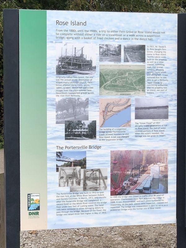
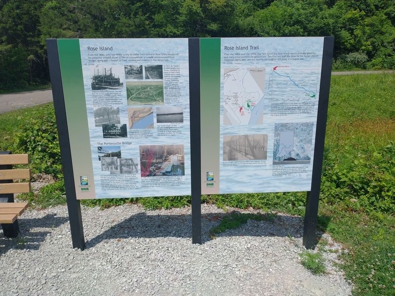
Originally called Fern Grove, the site was the annual picnic destination of almost every Louisville church. Fern Grove offered hiking trails, picnic tables, a hotel, dance hall and a cool escape from the city's summer heat. Steamboats transported groups across the river from Kentucky.
In 1923, Mr. David B. G. Rose bought Fern Grove, changing the name to Rose Island. Twenty cabins were built on the property as well as a roller coaster, swimming pool, live animal exhibits, shooting gallery, Ferris wheel and dining hall. It was rumored that he was able to get a Kentucky liquor license by convincing authorities that his property was an island, not part of Indiana.
The building of a suspension bridge across Fourteenmile Creek allowed Hoosiers to visit Rose Island. A toll was charged at the suspension bridge.
The “Great Flood” of 1937 abruptly ended generations of fun on Rose Island. Ten
this page online
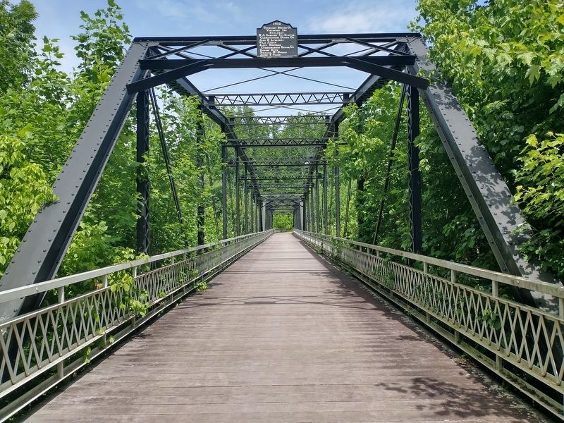
The Portersville Bridge
The Portersville Bridge was built in 1912 to span the east fork of the White River between Dubois and Daviess Counties. In March, 1913, only months after the Porterville Bridge was completed, a record flood on the White River covered the bridge floor under two feet of rushing water. The hand rails were removed to allow damaging debris to pass through the bridge. Because of the flood, the bridge was raised three feet higher in May of 1913.
In 1999 the bridge was closed to traffic after 86 years of operation. Charlestown State Park acquired the bridge in 2008. It was disassembled, and each piece numbered for reassembly. At the park, pieces were inspected, cleaned and repainted. The bridge was reassembled in 2011 to serve as a pedestrian bridge onto the former site of Rose Island.
Erected by Indiana Department of Natural Resources.
Topics and series. This historical marker is listed in these topic lists: Bridges & Viaducts • Parks & Recreational Areas. In addition, it is included in the
Photographed by Duane and Tracy Marsteller, September 24, 2022
2. Rose Island Marker
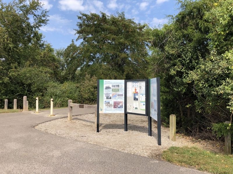
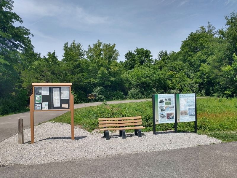
Location. 38° 25.63′ N, 85° 37.779′ W. Marker is in Charlestown, Indiana, in Clark County. It can be reached from an unnamed road half a mile east of Jersey Avenue. Marker is at the trailhead to Charlestown State Park trails 3 and 4. Touch for map. Marker is in this post office area: Charlestown IN 47111, United States of America. Touch for directions.

Regionally, this marker is in Southern Indiana. It is also in the American Midwest, in the Ohio River Valley, and in the Corn Belt. Globally, it is in North America, the Western Hemisphere, the Western World, and the Anglosphere. Historically, it finds itself in what was once the territory of the Mississippian Culture and also the Northwest Territory.
Other nearby markers. At least 8 other markers are within walking distance of this marker: Rose Island Trail (here, next to this marker); Travel back in time on Rose Island (approx. 0.4 miles away); Timeline of Rose Island (approx. 0.4 miles away); Reclaimed by Nature (approx. 0.4 miles away); Building a Resort (approx. 0.4 miles away); Welcome to Rose Island!
Photographed by Tom Bosse, June 13, 2026
3. Rose Island Marker
Photographed by Tom Bosse, June 13, 2026
4. Rose Island Marker
Photographed by Tom Bosse, June 13, 2026
5. The Portersville Bridge
Credits. This page was last revised on July 11, 2026. It was originally submitted on September 28, 2022, by Duane and Tracy Marsteller of Murfreesboro, Tennessee. This page has been viewed 384 times since then and 40 times this year. Photos: 1, 2. submitted on September 28, 2022, by Duane and Tracy Marsteller of Murfreesboro, Tennessee. 3, 4. submitted on June 24, 2026, by Tom Bosse of Jefferson City, Tennessee. 5. submitted on June 27, 2026, by Tom Bosse of Jefferson City, Tennessee.
