Medicine Hat in Cypress County, Alberta — Canada’s Prairie Region (North America)
First Street South Municipal Historic Area
— Municipal Historic Resource —
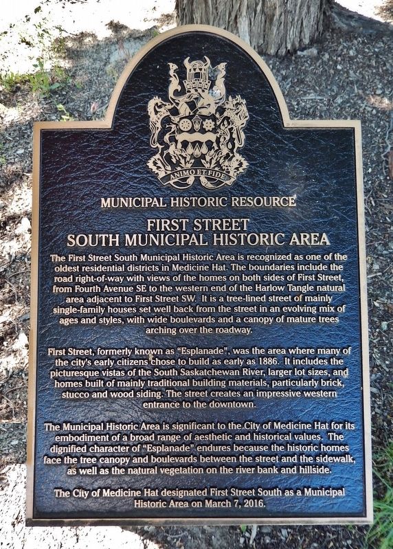
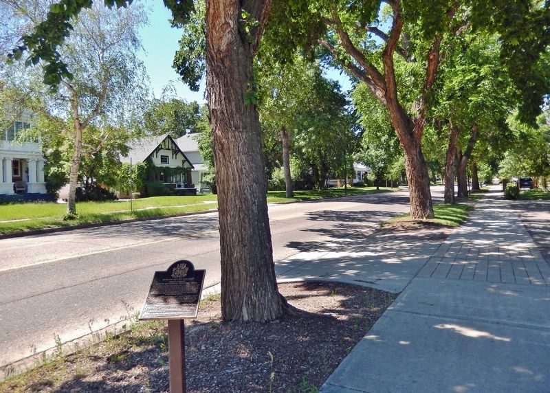
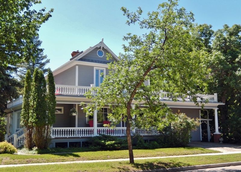
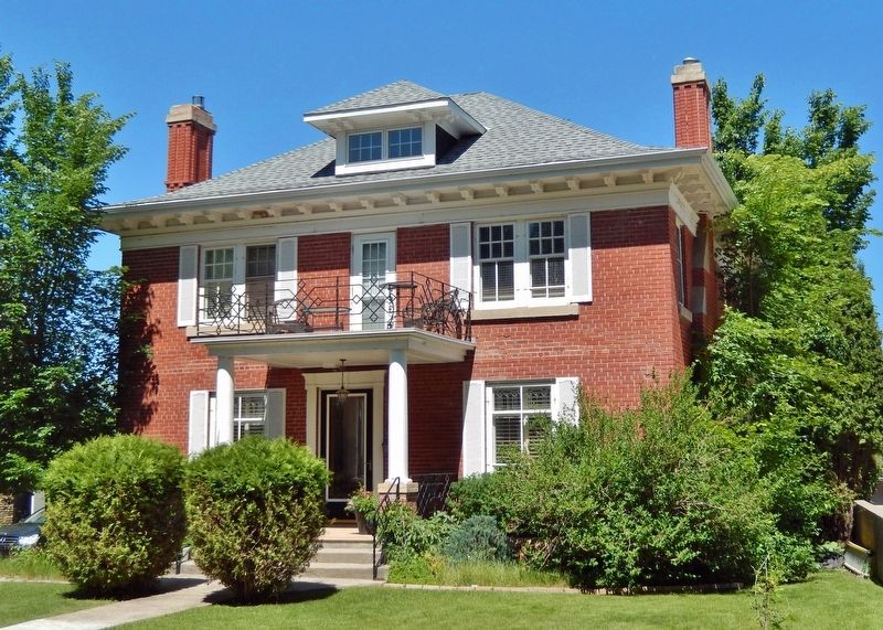
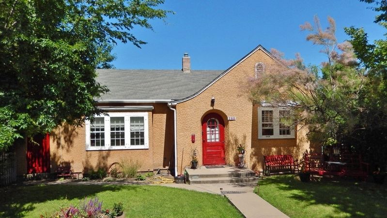
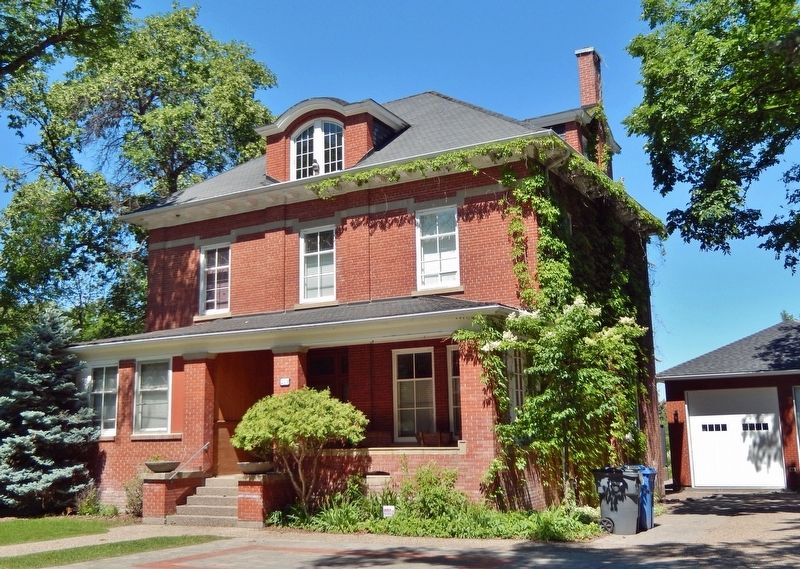
The First Street South Municipal Historic Area is recognized as one of the oldest residential districts in Medicine Hat. The boundaries include the road right-of-way with views of the homes on both sides of First Street, from Fourth Avenue SE to the western end of the Harlow Tangle natural area adjacent to First Street SW. It is a tree-lined street of mainly single-family houses set well back from the street in an evolving mix of ages and styles, with wide boulevards and a canopy of mature trees arching over the roadway.
First Street, formerly known as “Esplanade,” was the area where many of the city’s early citizens chose to build as early as 1886. It includes the picturesque vistas of the South Saskatchewan River, larger lot sizes, and homes built of mainly traditional building materials, particularly brick, stucco and wood siding. The street creates an impressive western entrance to the downtown.
The Municipal Historic Area is significant to the City of Medicine Hat for its embodiment of a broad range of aesthetic and historical values. The dignified character of “Esplanade” endures because the historic homes face the tree canopy and boulevards between the street and the sidewalk, as well as the natural vegetation on the river bank and hillside.
The City of Medicine Hat designated First Street South as a Municipal Historic Area on March 7, 2016.
Topics. This historical marker is listed in these topic lists: Architecture • Settlements & Settlers • Waterways & Vessels. A significant historical year for this entry is 1886.
Location. 50° 2.392′ N, 110° 40.949′ W. Marker is in Medicine Hat, Alberta, in Cypress County. Marker is on 1 Street Southeast just west of 4 Avenue Southeast (Provincial Highway 41A), on the right when traveling west. Marker is located beside the sidewalk on the north side of 1 Street Southeast. Touch for map. Marker is at or near this postal address: 360 1 Street Southeast, Medicine Hat AB T1A 0A6, Canada. Touch for directions.
Other nearby markers. At least 8 other markers are within walking distance of this marker. Ewart Duggan House (about 150 meters away, measured in a direct line); Courthouse (about 210 meters away); Toronto Street School (approx. 0.3 kilometers away); St. John's Presbyterian Church (approx. 0.3 kilometers away); Site of Medicine Hat's First Radio Station (approx. 0.3 kilometers away); A. P. Burns House and Gas City Planing Mill (approx. 0.3 kilometers away); River Road — "Gunter's Folly" (approx. 0.4 kilometers away); Finlay Bridge (approx. 0.4 kilometers away). Touch for a list and map of all markers in Medicine Hat.
Regarding First Street South Municipal Historic Area. Alberta Register of Historic Places (03/08/2016).
Also see . . .
First Street South Municipal Historic Area.
The First Street Municipal Historic Area is one of the oldest residential districts in Medicine Hat and is located immediately west of downtown along the first street running south of and parallel to the South Saskatchewan River. This area includes one Registered Historic Resource, one Provincial Historic Resource, one Municipal Historic Resource as well as candidates for municipal designation due to architectural and historical interest.(Submitted on September 30, 2022, by Cosmos Mariner of Cape Canaveral, Florida.)The First Street Municipal Historic Area is significant for its aesthetics: the variety of size and style of single family homes, some quite majestic, others modest, visible from the street; the view of the mature landscaping and wide boulevards in front of the homes; the picturesque vistas of the South Saskatchewan River and Finlay Bridge. Backing onto the river, Esplanade was the city's first street with tree-lined boulevards along which grand homes were intermixed with more modest residences.
Credits. This page was last revised on September 30, 2022. It was originally submitted on September 29, 2022, by Cosmos Mariner of Cape Canaveral, Florida. This page has been viewed 71 times since then and 15 times this year. Photos: 1, 2, 3, 4, 5, 6. submitted on September 29, 2022, by Cosmos Mariner of Cape Canaveral, Florida.
