Hebron in Thayer County, Nebraska — The American Midwest (Upper Plains)
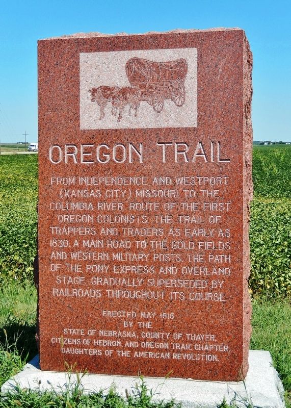
Oregon Trail
From Independence and Westport (Kansas City) Missouri to the Columbia River. Route of the first Oregon Colonists, the trail of trappers and traders as early as 1830. A main road to the gold fields and western military posts. The path of the Pony Express and Overland Stage. Gradually superseded by railroads throughout its course.
Erected 1915 by State of Nebraska; County of Thayer; Citizens of Hebron; and Oregon Trail Chapter, Daughters of the American Revolution.
Topics and series. This historical marker is listed in these topic lists: Railroads & Streetcars • Roads & Vehicles • Settlements & Settlers. In addition, it is included in the Daughters of the American Revolution, and the Oregon Trail series lists. A significant historical year for this entry is 1830.
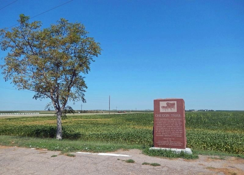
Location. 40° 12.339′ N, 97° 34.547′ W. Marker is in Hebron, Nebraska, in Thayer County. Marker is on Road Q just east of U.S. 81, on the left when traveling east. Marker is located in Hebron Roadside Park. Touch for map. Marker is at or near this postal address: 6219 Road Q, Hebron NE 68370, United States of America. Touch for directions.
Other nearby markers. At least 8 other markers are within 10 miles of this marker, measured as the crow flies. Thayer County (approx. 2.7 miles away); Veterans Memorial (approx. 2.7 miles away); A Tribute To Hebron, Its People and Its Schools (approx. 2.9 miles away); World's Largest Porch Swing (approx. 2.9 miles away); The Hebron CCC And POW Camps (approx. 2.9 miles away); The Forty-Niner Trail (approx. 3.6 miles away); Friedensau (approx. 7.2 miles away); Bank Building (approx. 9˝ miles away). Touch for a list and map of all markers in Hebron.
Also see . . . Route of the Oregon Trail through Nebraska.
Those emigrants on the eastern side of the Missouri River in Missouri or Iowa used ferries and steamboats to cross into towns in Nebraska. Several towns in Nebraska were used as "jumping off places" with Omaha eventually becoming a favorite after about 1855. Fort Kearny is about 200 miles from the Missouri River, and the trail and its many offshoots nearly all converged close to Fort Kearny as they followed the Platte River west. The army-maintained fort was the first chance on the trail to buy emergency supplies, do repairs, get medical aid, or mail a letter.(Submitted on October 11, 2022, by Cosmos Mariner of Cape Canaveral, Florida.)
Credits. This page was last revised on October 11, 2022. It was originally submitted on October 1, 2022, by Cosmos Mariner of Cape Canaveral, Florida. This page has been viewed 262 times since then and 77 times this year. Photos: 1, 2. submitted on October 10, 2022, by Cosmos Mariner of Cape Canaveral, Florida.

