Near Ewing in Lee County, Virginia — The American South (Mid-Atlantic)
Named for a British Lord
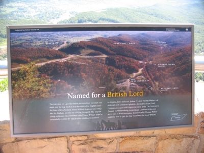
Photographed by Craig Swain, September 5, 2010
1. Named for a British Lord Marker
In Virginia, Peter Jefferson, Joshua Fry, and Thomas Walker - all politically well-connected planters - formed the Loyal Land Company in 1749 to sell Virginia's western lands. The Governor's Council in Williamsburg granted Loyal Land title to 800,000 acres west of these mountains. Sometime after Thomas Walker explored here in 1750, the Gap was named for Sweet William.
Erected by Cumberland Gap National Historical Park - National Park Service - Department of the Interior.
Topics. This historical marker is listed in these topic lists: Colonial Era • Exploration. A significant historical year for this entry is 1745.
Location. Marker has been reported missing. It was located near 36° 36.311′ N, 83° 40.032′ W. Marker was near Ewing, Virginia, in Lee County.
this page online

Regionally, this marker was in Southwest Virginia. It was also in the American South, specifically in the Upper South, in Appalachia, and specifically in Southern Appalachia. Globally, it was in North America, the Western Hemisphere, the Western World, and the Anglosphere. Historically, it found itself in what was once the original Cherokee Nation, the territory of the Mississippian Culture, one of the original Thirteen Colonies, one of the Confederate States of America, and the Antebellum South.
Other nearby markers. At least 8 other markers are within walking distance of this location: Generations Have Enjoyed this View (within shouting distance of this marker); Boundaries Settled (about 300 feet away, measured in a direct line); Top Guns (about 400 feet away in Kentucky); Gateway to Kaintuck (about 400 feet away in Kentucky); Pinnacle Overlook (about
Photographed by Brandon Fletcher, March 30, 2012
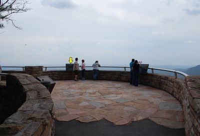
2. Named for a British Lord Marker
Marker in distance (yellow arrow)
Other markers no longer nearby. A Maze of Mountains (was here, next to this marker but has been confirmed missing); Powell's Valley (was a few steps from this marker but has been confirmed missing); Waiting for the Battle that Never Came (was about 400 feet away in Kentucky but has been permanently removed).
Also see . . . Cumberland Gap National Historical Park. (Submitted on September 19, 2010, by Craig Swain of Leesburg, Virginia.)
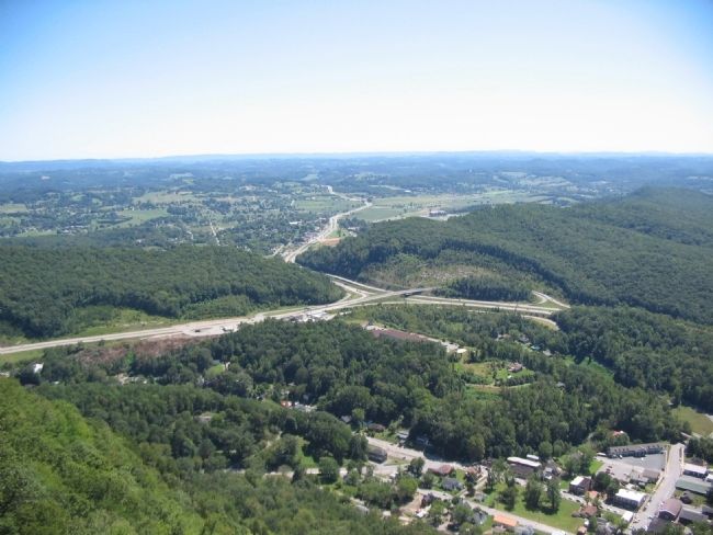
Photographed by Craig Swain, September 5, 2010
3. View of the Valley Below
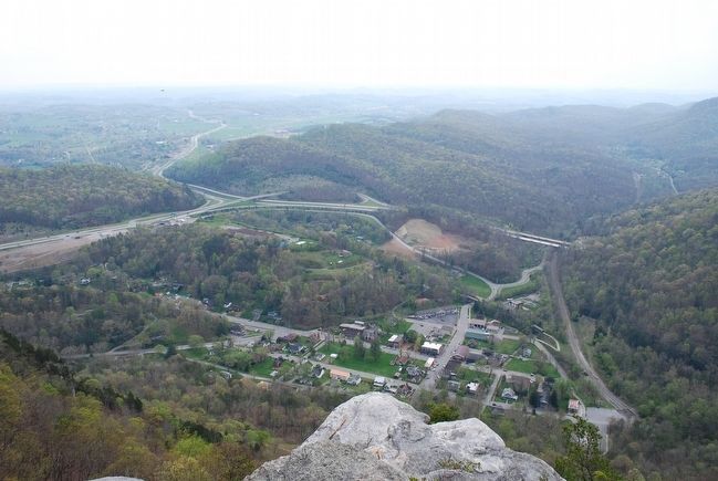
Photographed by Brandon Fletcher, March 30, 2012
4. The Town of Cumberland Gap
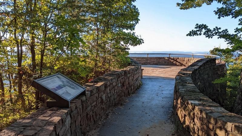
5. Missing marker
Credits. This page was last revised on October 9, 2022. It was originally submitted on September 19, 2010, by Craig Swain of Leesburg, Virginia. This page has been viewed 916 times since then and 26 times this year. Last updated on October 2, 2022. Photos: 1. submitted on September 19, 2010, by Craig Swain of Leesburg, Virginia. 2. submitted on September 14, 2015, by Brandon Fletcher of Chattanooga, Tennessee. 3. submitted on September 19, 2010, by Craig Swain of Leesburg, Virginia. 4. submitted on September 14, 2015, by Brandon Fletcher of Chattanooga, Tennessee. 5. submitted on October 2, 2022. • Bill Pfingsten was the editor who published this page.
