
Near Ewing in Lee County, Virginia — The American South (Mid-Atlantic)
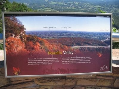
Powell's Valley
Photographed by Craig Swain, September 5, 2010
1. Powell's Valley Marker
Long-hunter Elisha Walden saw Powell's name and initials still carved on many trees when he hunted buffalo, elk, bear, and deer in the valley below in the 1760s. For wildlife and pioneer alike, Powell Valley provided a broad, easy travel corridor to the Gap.
Erected by Cumberland Gap National Historical Park - National Park Service - Department of the Interior.
Topics. This historical marker is listed in these topic lists: Exploration • Natural Features. A significant historical month for this entry is April 1750.
Location. Marker has been reported missing. It was located near 36° 36.314′ N, 83° 40.028′ W. Marker was near Ewing, Virginia, in Lee County. It could be reached from Pinnacle Road, on the right when traveling east. Located on the Pinnacle Overlook trail in Cumberland Gap National Historical Park. Touch for map. Marker was in this post office area: Ewing VA 24248, United States
this page online

Regionally, this marker was in Southwest Virginia. It was also in the American South, specifically in the Upper South, in Appalachia, and specifically in Southern Appalachia. Globally, it was in North America, the Western Hemisphere, the Western World, and the Anglosphere. Historically, it found itself in what was once the original Cherokee Nation, the territory of the Mississippian Culture, one of the original Thirteen Colonies, one of the Confederate States of America, and the Antebellum South.
Other nearby markers. At least 8 other markers are within walking distance of this location: Generations Have Enjoyed this View (within shouting distance of this marker); Boundaries Settled (about 300 feet away, measured in a direct line); Top Guns (about 400 feet away in Kentucky); Gateway to Kaintuck (about 400 feet away in Kentucky); Pinnacle Overlook (about 400 feet away in Kentucky); "This American Gibraltar" (about 400 feet away in Kentucky); a different marker also named Pinnacle Overlook (about 500 feet away in Kentucky); a different marker also named Gateway to Kaintuck (about 500 feet
Photographed by Craig Swain, September 5, 2010
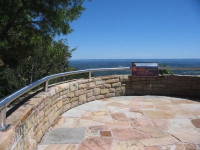
2. Powell's Valley Marker at the Overlook
Other markers no longer nearby. Named for a British Lord (was a few steps from this marker but has been confirmed missing); A Maze of Mountains (was a few steps from this marker but has been confirmed missing); Waiting for the Battle that Never Came (was about 400 feet away in Kentucky but has been permanently removed).
Also see . . . Cumberland Gap National Historical Park. (Submitted on September 19, 2010, by Craig Swain of Leesburg, Virginia.)
Photographed by Craig Swain
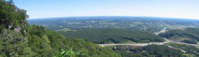
3. Powell's Valley
From the overlook, Powell's Mountain is in the far distance. Walden's Ridge runs through the middle of Powell's Valley at the base of the Cumberland Mountain.
September 28, 2022
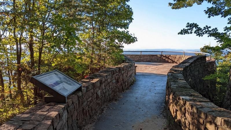
4. Missing marker
Credits. This page was last revised on October 9, 2022. It was originally submitted on September 19, 2010, by Craig Swain of Leesburg, Virginia. This page has been viewed 3,172 times since then and 111 times this year. Last updated on October 2, 2022. Photos: 1, 2, 3. submitted on September 19, 2010, by Craig Swain of Leesburg, Virginia. 4. submitted on October 2, 2022. • Bill Pfingsten was the editor who published this page.
