Near Laurel in Prince George's County, Maryland — The American Northeast (Mid-Atlantic)
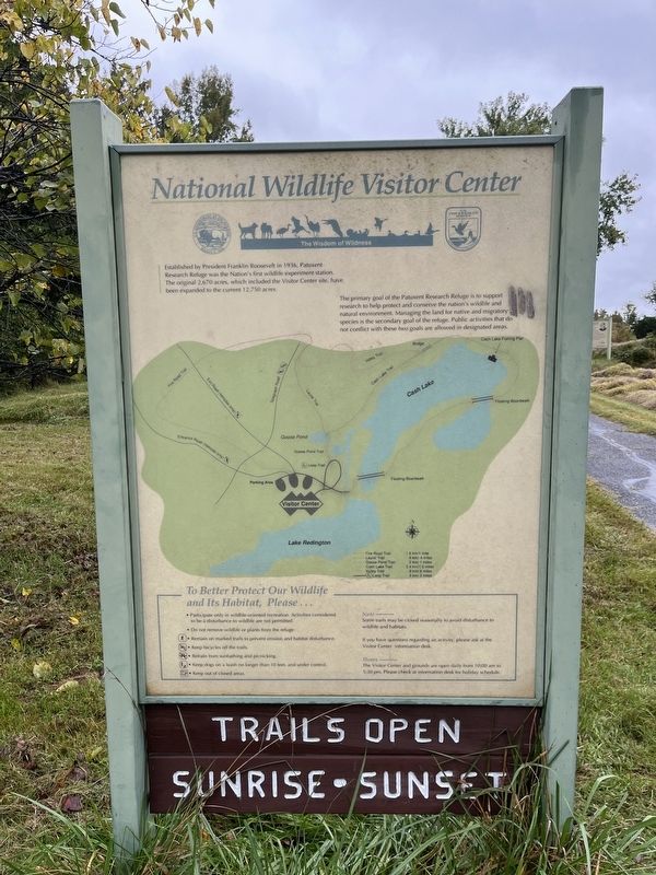
National Wildlife Center
The Wisdom of Wilderness
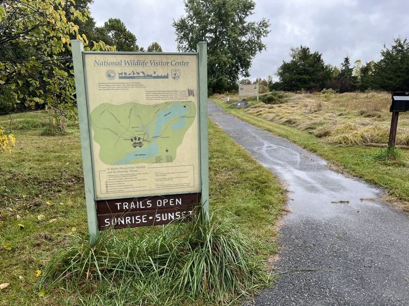
Established by President Franklin Roosevelt in 1936, Patuxent Research Refuge was the Nation's first wildlife experiment station. The original 2,670 acres, which included the Visitor Center site, have been expanded to the current 12,750 acres.
The primary goal of the Patuxent Research Refuge is to support research to help and conserve the nation's wildlife and natural environment. Managing the land for native and migratory species is the secondary goal of the refuge. Public activities that do not conflict with these two goals are allowed in designated areas.
Erected by Fish & Wildlife Service, U.S. Department of the Interior.
Topics and series. This historical marker is listed in these topic lists: Animals • Charity & Public Work • Environment • Parks & Recreational Areas. In addition, it is included in the Former U.S. Presidents: #32 Franklin D. Roosevelt series list. A significant historical year for this entry is 1936.
Location. 39° 1.652′ N, 76° 47.883′ W. Marker is near Laurel, Maryland, in Prince George's County. Marker is at the intersection of Loop Trail and Tram Route, on the left when traveling north on Loop Trail. Touch for map. Marker is in this post office area: Laurel MD 20708, United States of America. Touch for directions.
Other nearby markers. At least 8 other markers are within 4 miles of this marker , measured as the crow flies. Dr. Gregory J. Smith (a few steps from this marker); Jay Norwood "Ding" Darling Conservation Trail (within shouting distance of this marker); The Bowie Caboose (approx. 1.7 miles away); From Huntington to Bowie - The History (approx. 1.7 miles away); Bowie Railroad Station Museum (approx. 1.7 miles away); Benjamin Banneker Hall / Benjamin Banneker (approx. 2.1 miles away); Bowie State University (approx. 2.1 miles away); Moon Tree (approx. 3.6 miles away).
Credits. This page was last revised on October 2, 2022. It was originally submitted on October 2, 2022, by Devry Becker Jones of Washington, District of Columbia. This page has been viewed 54 times since then and 10 times this year. Photos: 1, 2. submitted on October 2, 2022, by Devry Becker Jones of Washington, District of Columbia.

