Near Bowie in Prince George's County, Maryland — The American Northeast (Mid-Atlantic)
Benjamin Banneker Hall
⎯⎯⎯
Benjamin Banneker
Photographed by Devry Becker Jones (CC0), October 2, 2022
1. Benjamin Banneker Hall / Benjamin Banneker Marker
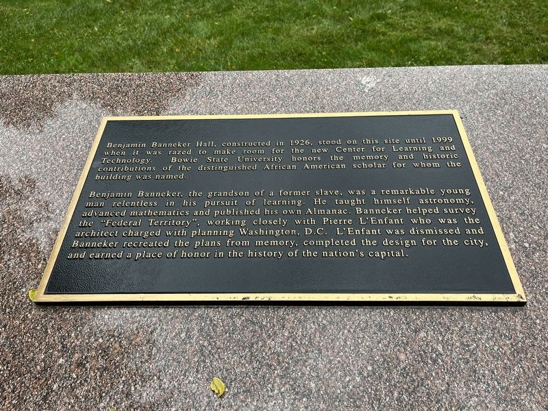
Benjamin Banneker Hall, constructed in 1926, stood on this site until 1999 when it was razed to make room for the new Center for Learning and Technology. Bowie State University honors the memory and historic contributions of the distinguished African American scholar for whom the building was named.
Benjamin Banneker, the grandson of a former slave, was a remarkable young man relentless in his pursuit of learning. He taught himself astronomy, advanced mathematics and published his own Almanac. Banneker helped survey the "Federal Territory", working closely with Pierre L'Enfant who was the architect charged with planning Washington, D.C. L'Enfant was dismissed and Banneker recreated the plans from memory, completed the design for the city, and earned a place of honor in the history of the nation's capital.
Erected by Bowie State University.
Topics and series. This historical marker is listed in these topic lists: African Americans • Education • Government & Politics • Science & Medicine • Settlements & Settlers. In addition, it is included in the Historically Black Colleges and Universities
this page online
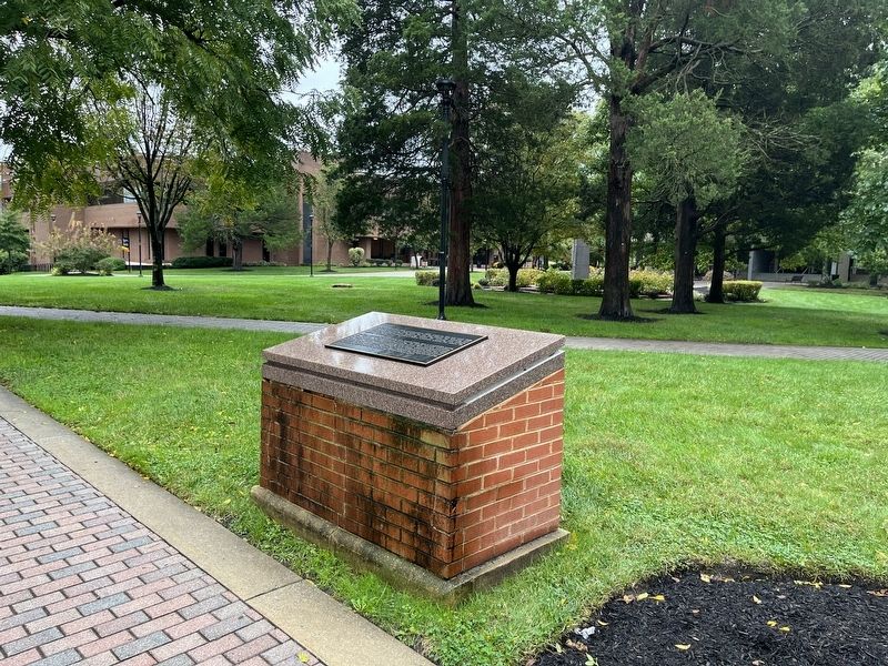
Location. 39° 1.148′ N, 76° 45.614′ W. Marker is near Bowie, Maryland, in Prince George's County. It is on Campus Drive west of Loop Road, on the left when traveling north. Touch for map. Marker is in this post office area: Bowie MD 20715, United States of America. Touch for directions.

Regionally, this marker is in the Washington Metropolitan Area. It is also in the American South, specifically in the Upper South, in the Mid-Atlantic, and on the Eastern Seaboard. Globally, it is in the North Atlantic Region, North America, the Western Hemisphere, the Western World, and the Anglosphere. Historically, it finds itself in what was once one of the original Thirteen Colonies and also the Antebellum South.
Other nearby markers. At least 8 other markers are within 3 miles of this marker, measured as the crow flies: Bowie State University (about 400 feet away, measured in a direct line); The Bowie Caboose (approx. 1.3 miles away); From Huntington to Bowie - The History (approx. 1.3 miles away); Bowie Railroad Station Museum (approx. 1.3 miles away); At the End of the Road
Photographed by Devry Becker Jones (CC0), October 2, 2022
2. Benjamin Banneker Hall / Benjamin Banneker Marker
Another marker is no longer nearby. The Bowie Caboose (was approx. 1.3 miles away but has been confirmed missing).
Credits. This page was last revised on October 2, 2022. It was originally submitted on October 2, 2022, by Devry Becker Jones of Washington, District of Columbia. This page has been viewed 464 times since then and 52 times this year. Photos: 1, 2. submitted on October 2, 2022, by Devry Becker Jones of Washington, District of Columbia.
