Hayward in Alameda County, California — The American West (Pacific Coastal)
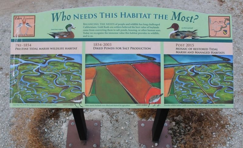
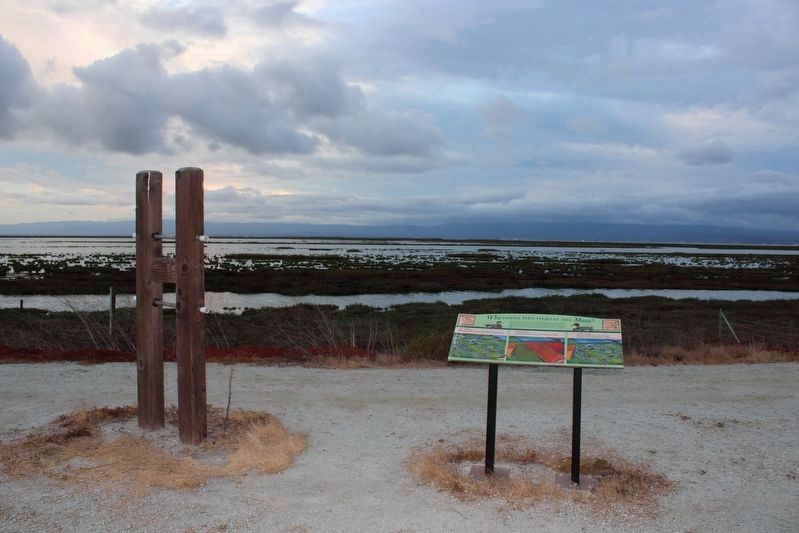
Who Needs This Habitat The Most?
Balancing the needs of people and wildlife has long challenged Californians. Gold Rush-era settlers believed the best value of Baylands came from converting them to salt ponds, housing, or other human uses. Today we recognize the immense value this habitat provides to wildlife, and to us.
Images:
Pre-1854
Pristine Tidal Marsh Wildlife Habitat
1854-2003
Diked Ponds for Salt Production
Post 2015
Mosaic of Restored Tidal Marsh and Managed Habitats
Marker Two:
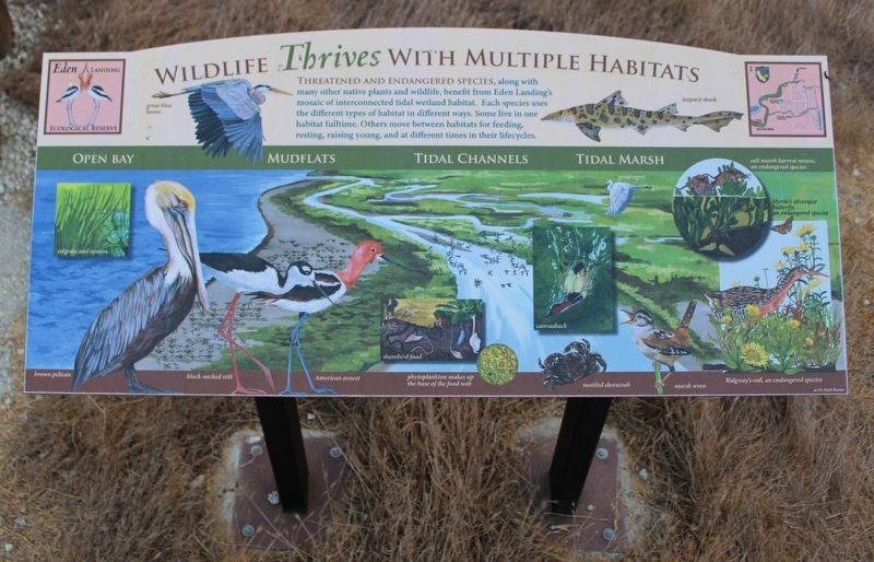
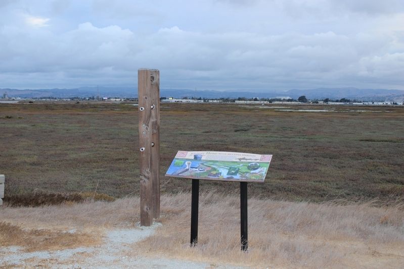
Wildlife Thrives With Multiple Habitats
Threatened and endangered species, along with many other native plants and wildlife, benefit from Eden Landing’s mosaic of interconnected tidal wetland habitat. Each species uses the different types of habitat in different ways. Some live in one habitat fulltime. Others move between habitats for feeding, resting, raising young, and at different times in their lifecycles.
Erected by California Department of Fish & Game.
Topics. This historical marker is listed in these topic lists: Animals • Environment • Industry & Commerce • Waterways & Vessels. A significant historical year for this entry is 1854.
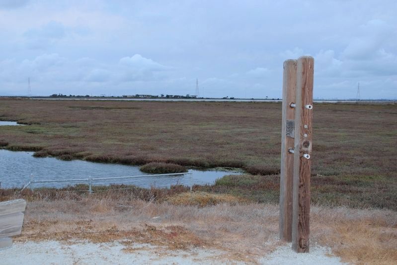
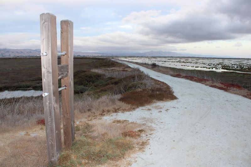
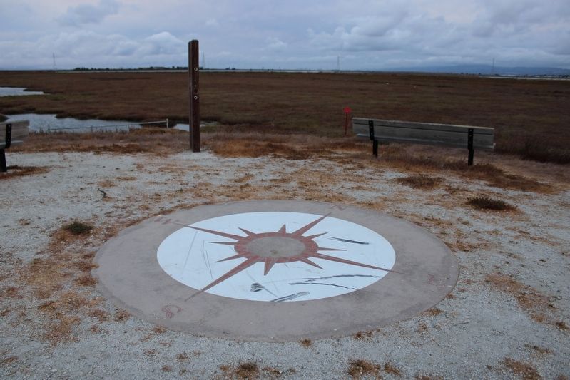
Location. 37° 36.391′ N, 122° 8.285′ W. Marker is in Hayward, California, in Alameda County. Marker can be reached from Eden Landing Trail near Eden Landing Road. The resin marker is mounted to a metal stand on the Eden Landing Trail about 3.5 miles from the main parking lot. Touch for map. Marker is at or near this postal address: 3588 Arden Road, Hayward CA 94545, United States of America. Touch for directions.
Other nearby markers. At least 8 other markers are within 2 miles of this marker, measured as the crow flies. Snowy Plovers Find a Home (approx. 0.6 miles away); Working in the Salt Ponds (approx. 0.7 miles away); Riches from Seawater and Sun (approx. 0.7 miles away); A Salty Experiment in Habitat Management (approx. 1.1 miles away); The Archimedes Screw Pump (approx. 1.2 miles away); Got Salt? (approx. 1.3 miles away); Wetland to Salt Pond and Back Again (approx. 1.3 miles away); Bay-Friendly Rated Landscapes in the City of Hayward (approx. 1.6 miles away). Touch for a list and map of all markers in Hayward.
Also see . . . California Department of Fish & Game: Eden Landing History.
"The area was formerly owned and managed by Cargill Salt Co. as solar salt production facilities. In 1996, 835 acres were acquired from Cargill and an additional 5,500 acres in 2003. In 1998, the area was designated as an ecological reserve by the Fish and Game Commission."(Submitted on October 2, 2022, by Joseph Alvarado of Livermore, California.)
Credits. This page was last revised on October 2, 2022. It was originally submitted on October 2, 2022, by Joseph Alvarado of Livermore, California. This page has been viewed 82 times since then and 8 times this year. Photos: 1, 2, 3, 4, 5, 6, 7, 8, 9, 10, 11. submitted on October 2, 2022, by Joseph Alvarado of Livermore, California.
