Bowie in Prince George's County, Maryland — The American Northeast (Mid-Atlantic)
Historic Pin Oak
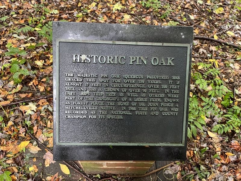
Topics and series. This historical marker is listed in these topic lists: Agriculture • Horticulture & Forestry. In addition, it is included in the Historic Trees series list. A significant historical year for this entry is 1986.
Location. 38° 56.404′ N, 76° 43.509′ W. Marker is in Bowie, Maryland, in Prince George's County. It can be reached from Excalibur Road north of Elder Oaks Boulevard, on the right when traveling north. Touch for map. Marker is at or near this postal address: 16020 Excalibur Rd, Bowie MD 20716, United States of America. Touch for directions.

Regionally, this marker is in the Washington Metropolitan Area. It is also in the American South, specifically in the Upper South,
this page online
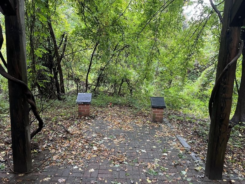
Other nearby markers. At least 8 other markers are within 2 miles of this marker, measured as the crow flies: Forest Place (here, next to this marker); Edlavitch-Harmel House (approx. 1.1 miles away); Blacksox Park (approx. 1.4 miles away); Melford and Cemetery (approx. 1½ miles away); The Belair Stud Farm (approx. 2 miles away); The Stable Courtyard (approx. 2.1 miles away); Andrew Jackson (approx. 2.1 miles away); Belair Stable (approx. 2.1 miles away). Touch for a list and map of all markers in Bowie.
Credits. This page was last revised on October 2, 2022. It was originally submitted on October 2, 2022, by Devry Becker Jones of Washington, District of Columbia. This page has been viewed 579 times since then and 51 times this year. Photos: 1, 2. submitted on October 2, 2022, by Devry Becker Jones of Washington, District of Columbia.
