Mt. Morris in Livingston County, New York — The American Northeast (Mid-Atlantic)
Burke's Tavern

Photographed by Anton Schwarzmueller, October 5, 2022
1. Burke's Tavern Marker
Erected 2021 by Town of Mt Morris.
Topics. This historical marker is listed in these topic lists: Railroads & Streetcars • Waterways & Vessels.
Location. 42° 43.577′ N, 77° 52.36′ W. Marker is in Mt. Morris, New York, in Livingston County. It is at the intersection of East State Street (New York State Route 408) and Genesee Street, on the right when traveling east on East State Street. Touch for map. Marker is in this post office area: Mount Morris NY 14510, United States of America. Touch for directions.

Regionally, this marker is in Upstate New York, specifically in Western New York, in the Finger Lakes, and in the Rochester Metropolitan Area. It is also in the American Northeast and in the Mid-Atlantic. Globally, it is in North America, the Western Hemisphere, the Western World, and the Anglosphere. Historically, it finds itself in what was once the Haudenosaunee (Iroquois) Confederacy, New Netherland, and one
this page online
Other nearby markers. At least 8 other markers are within walking distance of this marker: Genesee Valley Greenway (a few steps from this marker); John W. Powell (approx. 0.2 miles away); Mary S. Howell (approx. ¼ mile away); Francis Bellamy Memorial Park (approx. ¼ mile away); Birthplace of Francis Bellamy (approx. half a mile away); In Honor of the Mount Morris Veterans (approx. 0.6 miles away); This Park Dedicated to the Men of 3rd U.S. Marines (approx. 0.6 miles away); Murray Hill (approx. 0.7 miles away).
Regarding Burke's Tavern. The former railroad R.O.W. is now the Genesee Valley Greenway.
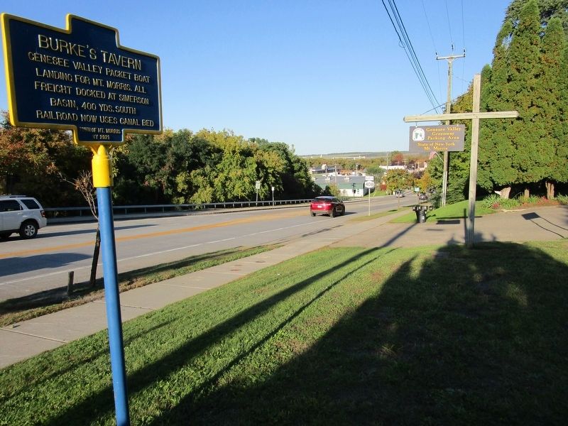
Photographed by Anton Schwarzmueller, October 5, 2022
2. Burke's Tavern Marker
Eastward view (NY route 408 north).
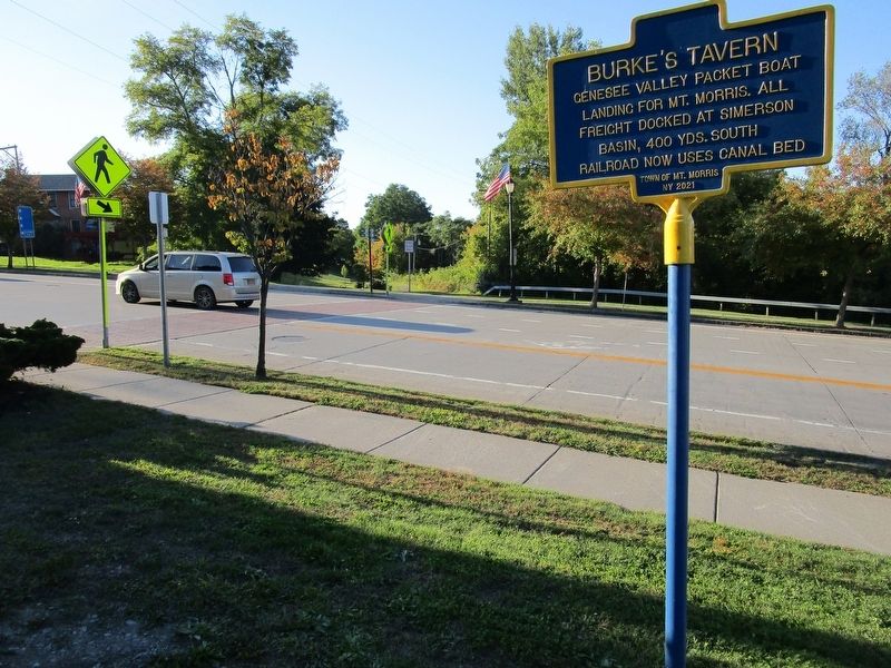
Photographed by Anton Schwarzmueller, October 5, 2022
3. Burke's Tavern Marker
Genesee Valley Greenway crossing of East State Street.
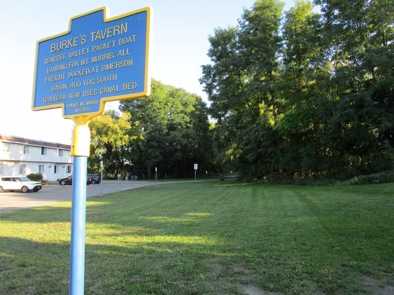
Photographed by Anton Schwarzmueller, October 5, 2022
4. Burke's Tavern Marker
Southward view of the Genesee Valley Greenway. A small parking area is just beyond the treeline.
Credits. This page was last revised on October 5, 2022. It was originally submitted on October 5, 2022, by Anton Schwarzmueller of Wilson, New York. This page has been viewed 300 times since then and 33 times this year. Photos: 1, 2, 3, 4. submitted on October 5, 2022, by Anton Schwarzmueller of Wilson, New York.
