Glassell Park in Los Angeles in Los Angeles County, California — The American West (Pacific Coastal)
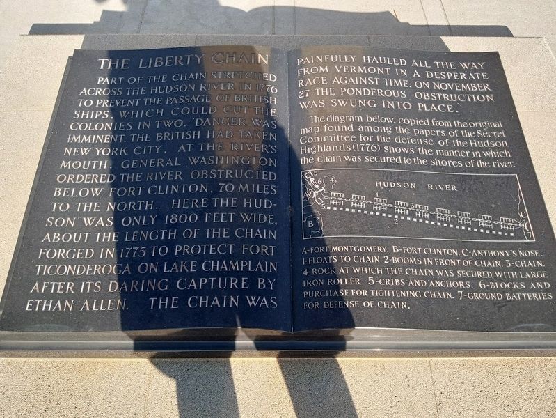
The Liberty Chain

Photographed by Craig Baker, July 7, 2023
1. The Liberty Chain Marker
diagram caption:
The diagram below, copied from the original map found among the papers of the Secret Committee for the defense of the Hudson Highland (1776) shows the manner in which the chain was secured to the shores of the river.
Topics. This historical marker is listed in these topic lists: Cemeteries & Burial Sites • Forts and Castles • War, US Revolutionary. A significant historical date for this entry is November 27, 1776.
Location. 34° 7.345′ N, 118° 14.11′ W. Marker is in Los Angeles, California,
this page online

Regionally, this marker is in California’s Transverse Ranges. It is also on the American Pacific Coast. Globally, it is in North America, on the Ring of Fire, on the Pacific Rim, in the Western Hemisphere, in the Western World, and in the Anglosphere. Historically, it finds itself in what was once New Spain and also Mexico’s Alta California.
Other nearby markers. At least 8 other markers are within 2 miles of this marker, measured as the crow flies: Verdugo Village (approx. 0.3 miles away); Washington Irving Junior High School (approx. half a mile away); Adams Square Gas Station (approx. 0.8 miles away); Wee Kirk o’ the Heather (approx. 0.9 miles away); Richardson Home (approx. 1.1 miles away); Somerset Farm (approx. 1.1 miles away); Castle Crag (approx. 1.3 miles away); Glendale Station Clock (approx.
Photographed by Jason Voigt, August 18, 2022
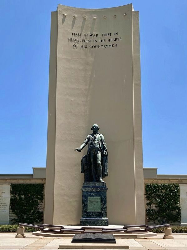
2. The Liberty Chain Marker
Regarding The Liberty Chain. The plaque on the pedestal reads: George Washington — The best statuary likeness ever made of our first president. It is one of two original castings made by John Quincy Adams Ward. The other is at the Subtreasury Building in New York where Washington took his oath of office in 1789.

Photographed by Jason Voigt, August 18, 2022
3. The Liberty Chain Marker
Photographed by Craig Baker, July 7, 2023
4. The Liberty Chain and Marker
Photographed by Roy Meals, March 17, 2024
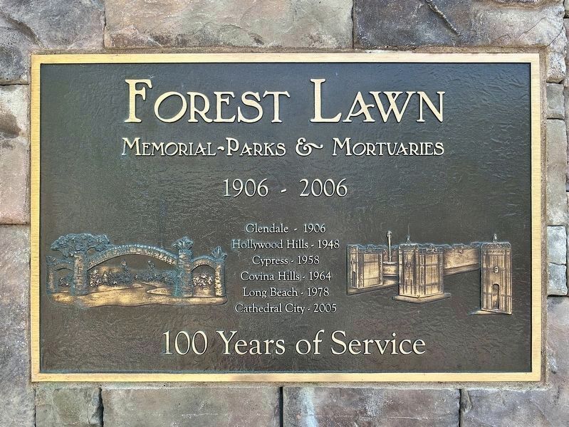
5. Forest Lawn Glendale - founded 1906
Credits. This page was last revised on January 6, 2025. It was originally submitted on October 5, 2022, by Jason Voigt of Glen Carbon, Illinois. This page has been viewed 812 times since then and 71 times this year. Photos: 1. submitted on July 7, 2023, by Craig Baker of Sylmar, California. 2, 3. submitted on October 5, 2022, by Jason Voigt of Glen Carbon, Illinois. 4. submitted on July 7, 2023, by Craig Baker of Sylmar, California. 5. submitted on March 20, 2024, by Craig Baker of Sylmar, California.
