Floresville in Wilson County, Texas — The American South (West South Central)
Flores Rancho
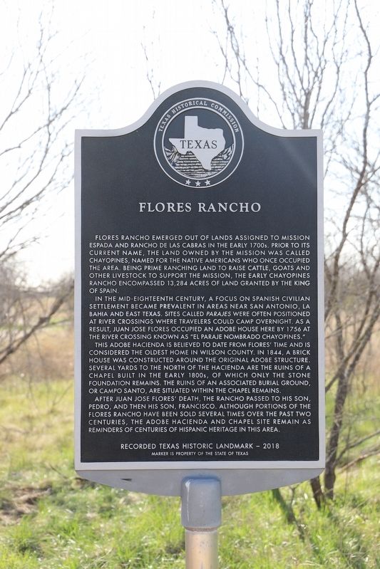
Flores Rancho emerged out of lands assigned to Mission Espada and Rancho de las Cabras in the early 1700s. Prior to its current name, the land owned by the mission was called Chayopines, named for the Native Americans who once occupied the area. Being prime ranching land to raise cattle, goats and other livestock to support the mission, the early Chayopines Rancho encompassed 13,284 acres of land granted by the King of Spain.
In the mid-eighteenth century, a focus on Spanish civilian settlement became prevalent in areas near San Antonio, La Bahia and east Texas. Sites called Parajes were often positioned at river crossings where travelers could camp overnight. As a result, Juan Jose Flores occupied an adobe house here by 1756 at the river crossing known as “El Paraje Nombrado Chayopines.”
This adobe hacienda is believed to date from Flores’ time and is considered the oldest home in Wilson county. In 1844, a brick house was constructed around the original adobe structure. Several yards to the north of the hacienda are the ruins of a chapel built in the early 1800s, of which only the stone foundation remains. The ruins of an associated burial ground, or Campo Santo, are situated within the chapel remains.
After Juan Jose Flores’ death, the rancho passed to his son, Pedro, and then his son, Francisco. Although portions of the Flores Rancho have been sold several times over the past two centuries, the adobe hacienda and chapel site remain as reminders of centuries of Hispanic heritage in this area.
Erected 2018 by Texas Historical Commission. (Marker Number 20106.)
Topics. This historical marker is listed in these topic lists: Agriculture • Hispanic Americans • Settlements & Settlers. A significant historical year for this entry is 1756.
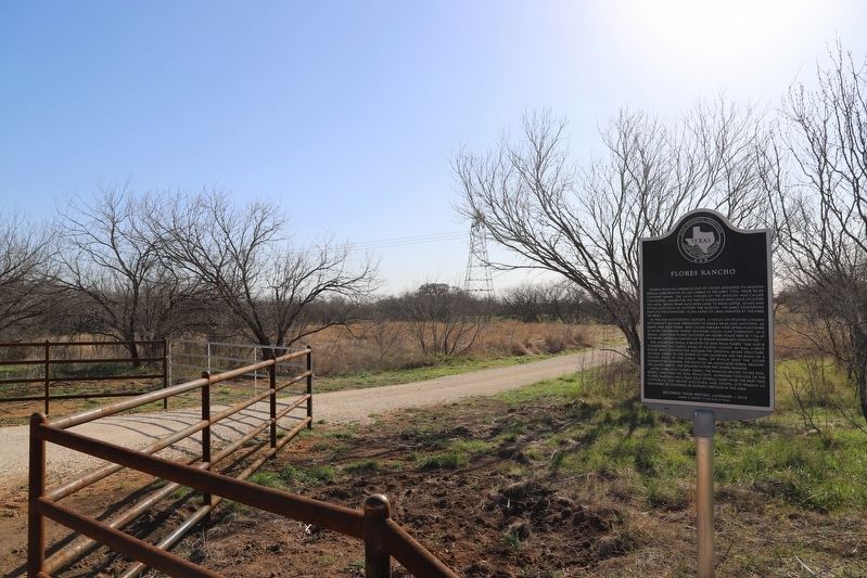
Location. 29° 11.369′ N, 98° 13.304′ W. Marker is in Floresville, Texas, in Wilson County. Marker is on County Road 120. Touch for map. Marker is at or near this postal address: 1316 County Rd 120, Floresville TX 78114, United States of America. Touch for directions.
Other nearby markers. At least 8 other markers are within 6 miles of this marker, measured as the crow flies. Mackey Brick and Tile Manufacturing Company (approx. 2.4 miles away); Casa Blanca (approx. 3 miles away); Garza-Valadez Cemetery (approx. 4.3 miles away); Near Site of Lodi Ferry (approx. 4˝ miles away); de la Zerda Cemetery (approx. 4˝ miles away); Cemetery of Canary Islanders (approx. 4.7 miles away); Site of Old Town: Lodi (approx. 5.1 miles away); Our Lady of Perpetual Help Catholic Church (approx. 5.3 miles away). Touch for a list and map of all markers in Floresville.
Credits. This page was last revised on October 8, 2022. It was originally submitted on October 7, 2022, by Dave W of Co, Colorado. This page has been viewed 206 times since then and 69 times this year. Photos: 1, 2. submitted on October 7, 2022, by Dave W of Co, Colorado. • J. Makali Bruton was the editor who published this page.

